Kenwood, California
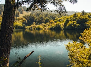
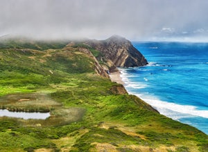
In Kenwood, California, the best trails and outdoor activities include hiking the Sugarloaf Ridge State Park trail. This trail is a must-visit for its scenic views of the Sonoma Valley and Mount Saint Helena. With a moderate difficulty level, it winds through forests, meadows, and along creeks. You'll come across a waterfall and the headwaters of Sonoma Creek. Another top trail is the Annadel State Park trail, known for its unique rock formations and a large lake. It's perfect for hiking, mountain biking, and horseback riding. For a different kind of outdoor adventure, visit the Kunde Family Winery. It offers a scenic hike through its vineyard with a wine tasting at the end. These outdoor activities make Kenwood a superb destination for those seeking scenic, outdoor adventures.
Top Spots in and near Kenwood
-
Stinson Beach, California
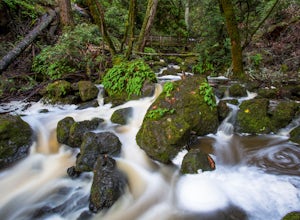
Cataract Falls
4.22.81 mi / 1184 ft gainThe Bay Area is home to many beautiful waterfalls, but Cataract Falls located about an hour north of San Francisco is one of the most stunning. Be sure to head out on this hike after a recent rain. Cataract Falls is a picturesque waterfall located in the Mt. Tamalpais Watershed near Stinson Be...Read more -
Larkspur, California
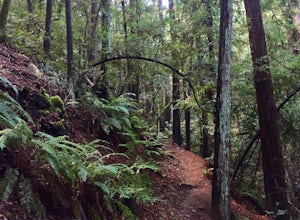
Dawn Falls Trail
4.52.29 mi / 344 ft gainTake the Dawn Falls trail down into the Baltimore Canyon for an in-depth exploration of northern California nature. Rather than the usual dry, hardy vegetation that speckles the hills of many nearby trails, this trail is bursting with lush ferns and mossy trees as it meanders along next to Larksp...Read more -
Larkspur, California
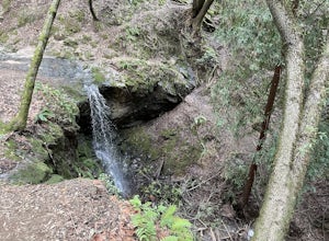
Dawn Falls Trail Loop
2.79 mi / 466 ft gainDawn Falls Trail Loop is a loop trail that takes you by a waterfall located near Larkspur, California.Read more -
Richmond, California
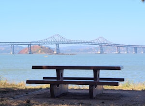
Picnic at Point Molate Beach Park
The beach park is very small but has sand along the shore for water access. Along the small cliffs of the beach there are picnic tables and grills for a nice cookout and family picnic. This beach would also be a great place for kayaking or standup paddle boarding as it is fairly secluded and away...Read more -
Larkspur, California
Baltimore Canyon Via Dawn Falls Trail Loop
5.93 mi / 1309 ft gainBaltimore Canyon via Dawn Falls Trail Loop is a loop trail that takes you through a forested setting at the start, up switchbacks to Dawn Falls, and then to views of King Mountain Open Space Preserve as you loop back along Southern Marin Line Road. This is a dog friendly (on-leash) trail located ...Read more -
Guinda, California
Hike Pierce Canyon
6.2 mi / 1079 ft gainThis hike follows a fire road through some farms, up into the woods and up the ridge. It's an accessible and easy trail, with some decent incline starting about halfway through (thus the "moderate" rating instead of easy). Park at the end of the road before the gate. (There is a sign that say...Read more -
Mill Valley, California
Summit of Mt. Tamalpais Loop
5.01.15 mi / 394 ft gainMt. Tam is a large park with plenty of amazing viewpoints, but the East routes and the East Peak are best for sunsets. Once you're at the top, it's an amazing spot to view a large number of Marin trails, which can help you can get a head start on planning your next adventure. At 2,570 feet, this ...Read more -
Mill Valley, California
Temelpa Trail
4.52.94 mi / 1929 ft gainThe Mt. Tam Hill Climb via Temelpa Trail is an iconic, "best-of" climb in the trail running community, drawing some of the world's greatest athletes to experience its breathtaking views and technical downhill. Surprisingly though, outside of locals and the running community, the trail remains lar...Read more -
Corte Madera, California
Ring Mountain Loop
4.02.65 mi / 597 ft gainRing Mountain Open Space is an easy but uphill trail that take you to the top where you can explore more trails. Take the 101 exit for Paradise Dr in Corte Madera, follow the road, and park on the side of the road once you pass Westward Dr. Even though there are many places to start the trail fo...Read more -
Richmond, California
Hike the Wildcat Canyon Loop
4.010.5 mi / 2300 ft gainStarting off on Wildcat Creek Trail, the trail is wide and rolling. After about 4 miles make a left on Jewel Trail, then onto Sylvan Trail. Another left puts you on Wildcat Peak Trail. Be sure to check your map, as many trails intersect here. Wildcat Peak Trail runs into Nimitz Way, at which poin...Read more -
Point Reyes Station, California
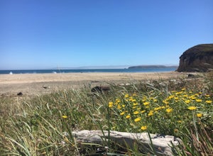
Drake's Beach, Pt. Reyes
5.0Named after the famed explorer, Sir Francis Drake, Drakes Beach is part of the scenic Point Reyes National Seashore. If you're looking to spend a day and an evening at the beach, grab some snacks and some firewood and head out to Drakes Beach. Key things to remember with the bonfire: Build th...Read more -
Tiburon, California
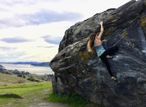
Bouldering at Ring Mountain
0.5 mi / 400 ft gainItching to climb outdoors near San Francisco? With only a quick drive from the city, Ring Mountain is a beautiful nature preserve overlooking the city of San Francisco offering two main rock formations, Turtle Rock (Pictured) and Split Rock. Split Rock is the slabby rock south of the parking ar...Read more -
Bolinas, California
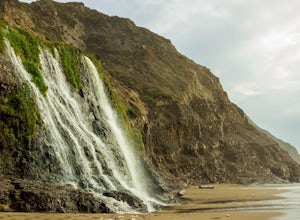
Alamere Falls via Palomarin Trailhead
4.513.54 mi / 1614 ft gainAlamere Falls is the tallest waterfall in the bay area. It is known as a tide fall because it empties directly into the Pacific Ocean. This is extremely unique because there are only 34 tide falls in the world and two in California, the other being McWay Falls in Big Sur. Enjoy stunning views of...Read more -
Bolinas, California
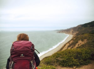
Point Reyes' Wildcat Camp via Coast Trail
5.011.19 mi / 1926 ft gainIn order to make this trip possible, go to recreation.gov and make a reservation for Wildcat Camp (available year-round). On your way to the trailhead, make sure to stop by the Bear Valley Visitor Center to grab your camping permit. For more information, visit: http://www.nps.gov/pore/planyourvis...Read more -
Bolinas, California
Bass Lake via Palomarin Trailhead
4.26.11 miFollow the Coast Trail from Palomarin Trailhead to Bass Lake. It's a fairly easy ~2.5-3 miles to the Lake. As soon as you pass the lake, on the left you will see a narrow unmarked dirt trail. Take this trail and you'll get to a nice clearing with easy lake access (this will be a great spot for lu...Read more -
Bolinas, California
Glen Camp Loop via the Palomarin Trailhead
4.715.72 mi / 3091 ft gainDay 1 Before heading to the trailhead, make sure to stop by the Bear Valley Visitor Center to pick up your permit. To stay overnight in Point Reyes, you must stay at one of the trail camps. Camping anywhere else in the park is not allowed. Permits for the trail camps can be booked up to 6 mo...Read more

