June Lake, California
Looking for the best hiking in June Lake? We've got you covered with the top trails, trips, hiking, backpacking, camping and more around June Lake. The detailed guides, photos, and reviews are all submitted by the Outbound community.
Top Hiking Spots in and near June Lake
-
Mariposa County, California
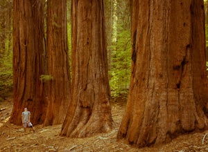
Merced Grove
5.03.32 mi / 600 ft gainMerced Grove is technically the smallest and most secluded of the three sequoia groves found in Yosemite National Park, which lends itself to be less crowded offering a peaceful solitude hike. The trailhead is located at the Merced Grove parking lot on Big Oak Flat Road. This trail begins by foll...Read more -
Bishop, California
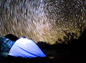
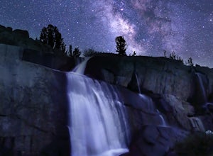
Photography in the ButterMilks
5.0The Eastern Sierras have some of the most spectacular views in the world. This area in particular is known for its rock climbing. It also has amazing opportunities for photographers.The nights during a new moon are incredibly dark and create great astro photography shots. During the day, the l...Read more -
Bishop, California
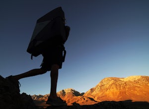
Bouldering In The Buttermilks
5.0The Buttermilks is a historical climbing area that is home to some of the worlds most famous rock climbs. It is located at the base of the Eastern Sierras near Bishop, CA. In this region there are 3 main bouldering areas: The Happies, The Sads, and The Buttermilks.The Buttermilks are massive gr...Read more -
Shaver Lake, California
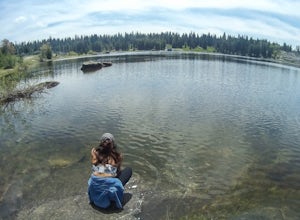
Balsam Forebay
4.01.05 mi / 62 ft gainAccess to the forebay starts at the trail head from the parking lot 6,700 ft up, also from the parking lot there is access to two different sets of boulder patches separate from the ones encountered along the hike in. Hike Start the 1 mile out and back hike from the parking lot following the t...Read more -
Bishop, California
Snowshoe to Blue Lake
6.2 mi / 1350 ft gainStarting in Aspendale at 8500 feet, this 5 mile hike is very invigorating and beautiful. To get here, take hwy 395 until in Bishop. Turn onto hwy 168 until you pass the small town of Aspendale. The road dead ends about another mile up the road and you can park. Walk past the yellow gate toward la...Read more -
Bishop, California
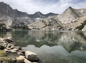
Backpack Across Mt. Humphreys Basin
30 mi / 3375 ft gainBefore heading out, you will need to get a backpacking permit to stay overnight in this area. You can buy one here to pick up in town at the Bishop, CA Ranger Station, in the morning.The trailhead begins at North Lake campground (9,345'), in a beautiful lush area, with streams and aspen groves. A...Read more -
Bishop, California
Backpack to Upper Lamarck Lake
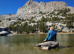
5.05.8 mi / 1562 ft gainStarting out at North Lake Campground, the trail to Lamarck Lakes is a fairly gradual ascent. After climbing out of the meadows near the trailhead, you will find yourself on a ridge with few trees to block the great views of Grass Lake and the valley below. Lake Sabrina is on the other side of ...Read more -
Mono County, California
Leavitt Lake in Stanislaus National Forest
4.07.44 mi / 1385 ft gainSituated on the eastern edge of Emigrant Wilderness, Leavitt Lake is a great introduction to backpacking in the Sierra Nevada. Leavitt Lake is located at the end of Forest Service Route 077 off of Highway 108. It is actually possible to drive to Leavitt Lake, but a high clearance vehicle is requi...Read more -
Bishop, California
Sailor Lake Backpack & Climb of Mt. Haeckel
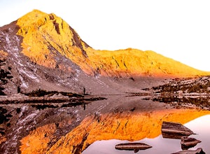
5.013 mi / 2500 ft gainThe basic part of this adventure is a backpack to Sailor Lake. From there you can enjoy small dayhikes to the nearby lakes or waterfalls, go fishing, enjoy some photography or just lounge in camp and gaze at the beautiful scenery. Although Sailor Lake looks smaller than the nearby lakes it stil...Read more -
Bishop, California
Backpack the Piute Pass Trail in the John Muir Wilderness
21 mi / 2000 ft gainWith so many famous hiking trails in the Sierras, its hard to find a trail as isolated as the Piute Pass Trail. This trail allows you to hike in the John Muir Wilderness, Inyo National Forest, and Sierra National Forest in one 20 mile section of trail. You will encounter amazing wilderness, spect...Read more -
Bishop, California
Baboon Lakes via Sabrina Basin
8.53 mi / 2165 ft gainGorgeous and sizable alpine lakes beyond Blue Lake via Sabrina Basin trail. There are some very confusing descriptions on the internet for this so hopefully this can help. Hike for 3 miles to get to Blue Lake, which is huge and a popular camping spot for backpackers. Continue past the lake (it ...Read more -
Bishop, California
Hike to Emerald Lakes
7.2 mi / 1719 ft gainIf you are considering this hike, then I am sure you are already familiar with the undeniable beauty that the Eastern Sierra radiates. Any season, any time- it is there. One of my particular favorites for a day hike to experience this beauty is the trek to Emerald Lake outside of Bishop.From Bish...Read more -
Bishop, California
Climb White Mountain Peak
4.314 mi / 2000 ft gainNot surprisingly, White Mountain Peak is the apex of the White Mountains, which rise out of the desert floor just north of Death Valley. The White Mountains were aptly named as they are frequently covered in snow.The trailhead starts at 12,000ft and winds it's way over a few hills before the fina...Read more -
Highway 108, California
Backpack to Blue Canyon Lake
5.03.6 mi / 1280 ft gainTrailhead Coordinates: 38º 19'08.46"N 119º39'49.26"W Elev 8897ftThe trail is kind of tricky to find. It is West of the PCT trailhead at Sonora Pass and it is not marked. You park along the side of Hwy 108 and scramble down an embankment where a creek flows at the bottom. Cross this creek and you ...Read more -
Highway 108, California
Hike to Deadman Lake
6 mi / 1700 ft gainStart: 38º19'08.46"N 119º39'49.26"W Elev 8879ftPark along Hwy 108, head down the bank and across the stream at the bottom. There you will find the start of the trail.This is a challenging hike without much of an actual trail to follow for the majority of it. The hike is very steep in certain are...Read more

