June Lake, California
Looking for the best hiking in June Lake? We've got you covered with the top trails, trips, hiking, backpacking, camping and more around June Lake. The detailed guides, photos, and reviews are all submitted by the Outbound community.
Top Hiking Spots in and near June Lake
-
Mariposa County, California
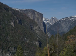
Hike to Turtleback Dome
1.4 mi / 350 ft gainTurtleback Dome will provide you with views of southern Yosemite and the Valley in a less crowded area. This hike on a service road is relatively easy with a slight elevation gain over the entire 0.7 miles. To get to the Trailhead, take Wawona Road north towards the valley. Use the referenced poi...Read more -
Lakeshore, California
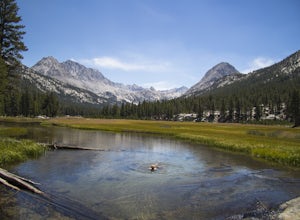
Evolution Valley via Florence Lake
4.530.36 mi / 3238 ft gainYou can get to the Evolution Basin a variety of ways, but the easiest is through the Florence Lake Trailhead. Here, you can choose to either take the Florence Lake Ferry across the lake, or save $25 and hike the extra 4 miles around the lake. Personally, I would choose the ferry. About five mile...Read more -
Lakeshore, California
Backpack to Crater Lake, Sierra National Forest
8.4 mi / 2100 ft gainStarting at Lake Florence, this hike starts out with a climb up and keeps this up over the next 3 miles. After about 3 miles of climbing you reach another lake, Dutch Lake which provides shade and a nice place to rest. From there it's a relatively flat 1.2 miles in to your destination. Once at Cr...Read more -
Lakeshore, California
Hike to George Lake
9.2 mi / 1050 ft gainThe hike to George Lake starts out about 4 miles after you turn off 168 onto Kaiser Pass Rd. You'll want to park at the parking lot right before Badger Flat Campground. The parking lot is easy to notice and it is located on the right hand side of the road, two pit toilets and bear lockers are loc...Read more -
Mariposa County, California
Hike to Alder Creek Falls
10 mi / 1000 ft gainThe trail leads from the parking area across the Mosquito Creek road and heads uphill north through an open pine forest with manzanita growing on dry slopes. The trail provides access to Alder Creek Falls a hidden gem within Yosemite's Wawona wilderness. I did the trail towards the end of Februar...Read more -
Bishop, California
Hike Pine Creek Pass to Lower Pine Lake
10 mi / 2500 ft gainThe Pine Creek Pass is usable for day hiking and overnight adventures. If you'd like to spend the night, be sure to pickup a wilderness permit! If you plan to bring a four legged friend, make sure to indicate that on your wilderness permit request. There are several lakes you can stop at througho...Read more -
Mariposa County, California
Hike Old Big Oak Flat Road
4.1 mi / 1070 ft gainOld Big Oak Flat Road used to be one of the main entries into Yosemite Valley, before HWY 120, 140 and 41. It was a dangerous road which had to be realigned, reconstructed and maintained continuously and was eventually closed in the 1940’s after a giant rockslide made it completely irreparable. T...Read more -
Mariposa County, California
Camp at Wawona in Yosemite National Park
Wawona offers over 90 campsites in 3 loops, including 1 group site, 2 horse sites, and RV/ camper access.Every loop has at least 1 bathroom with flush toilets, but keep in mind that there are no showers at this campground.Pets are allowed, but must be kept on leash at all times.Each campground co...Read more -
Oakhurst, California
Camp at Nelder Grove Campground in Sierra National Forest
0 mi / 0 ft gainSites are located along Willow Creek with plenty of shape. Right out of the campground you can hike nearby Bull Buck Trail and discover the giant sequoia trees. This is a first-come first-serve campground so arrive early.Directions: Take Hwy 41 north from Fresno; continue thru Oakhurst to Sky Ran...Read more -
Oakhurst, California
Hike the Shadow of the Giants Trail
4.01.1 mi / 85 ft gainThe Shadow of the Giants National Recreation trail is an amazing 1.1 mile self-guided hike through the heart of Nelder Grove. Take Hwy 41 north from Fresno; continue thru Oakhurst to Sky Ranch Road (6S10 or Forest Road 10) travel approx. 5 miles to Nelder Grove, when you reach the camp area take ...Read more -
Bass Lake, California
Camp at Greys Mountain Campground
/ 5293 ft gainFrom Greys Mountain Campground, Sierra National Forest is your oyster! Enjoy hiking, swimming, fishing, mountain biking, boating, paddle boarding, kayaking, canoeing, and more. Each site is equipped with a picnic table and a fire ring. The campground has vault toilets and (sometimes) potable wate...Read more -
Dyer, Nevada
Hike Boundary Peak
5.010.4 mi / 4000 ft gainBoundary Peak received its name because it straddles the border of California and Nevada. While technically in Nevada, just a few hundred feet away lies its taller neighbor Montgomery Peak (13,442') in California. Many people bag both peaks at once, but the rotten rock and unstable trail make Mon...Read more -
Mariposa County, California
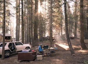
Camp at Crane Flat Campground
Crane Flat Campground is located on the Big Oak Flat Road (Highway 120) just west of Crane Flat, about 30 minutes northwest of Yosemite Valley. Sites are open July-October at $26/night. More info at https://www.nps.gov/yose/plany...Read more -
Tuolumne County, California
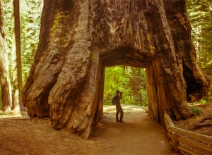
Tuolumne Grove of Giant Sequoias
4.22.67 mi / 653 ft gainThe Tuolumne Grove of Giant Sequoias is one of three sequoia groves in Yosemite National Park. This particular grove has gorgeous forest scenery and provides great solitude compared to the crowded Yosemite Valley. The trail used to be an old road offering a wide path with a gradual descent, makin...Read more -
Groveland, California
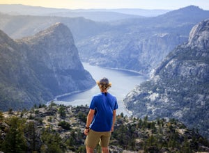
Hetch Hetchy to Rancheria Falls
4.812.55 mi / 2500 ft gainSituated in the northwest portion of Yosemite National Park, Hetch Hetchy is is a not often visited treasure of the Central Sierra Nevada. In 1913, in an extremely controversial move, work on the O’Shaughnessy Dam was started to provide water to the growing population of San Francisco. Today, Het...Read more -
Groveland, California
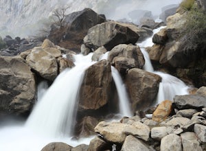
Wapama Falls
4.71 mi / 623 ft gainHetch Hetchy has a completely different character than other areas of Yosemite National Park, and the hike to Wapama Falls is an excellent way to explore this relatively remote section of the park. You can only imagine what this valley looked liked before it was dammed and is second to none compa...Read more

