Hearst Castle, California
Top Spots in and near Hearst Castle
-
Big Sur, California
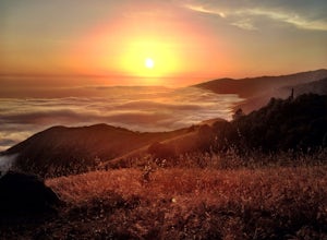
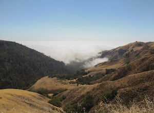
After much time in Big Sur, it became quickly apparent that Prewitt Ridge is the crown jewel of camping in the area. It has even been described as "the most beautiful car camping spot on god's green earth" and that doesn't do it justice.While Prewitt Ridge is an officially designated campground i...
Read more
-
Paso Robles, California
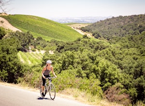
Peach Canyon is the *the* iconic cycling road in the Paso Robles area, beginning downtown and connecting with many other roads in the mountains west of town making for numerous beautiful loops through vineyards, orchards, and black oak groves.
Peachy Canyon Road begins at Olive and 6th Street and...
Read more
-
Big Sur, California
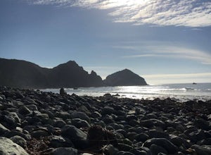
Willow Creek is a couple of miles south of Sand Dollar Beach. Sand Dollar is generally a mushier wave that is more welcoming. Willow Creek on the other hand, has more power and offers punchier waves for the more experienced. However, it is more fickle than Sand Dollar Beach. There are loads of ke...
Read more
-
Paso Robles, California
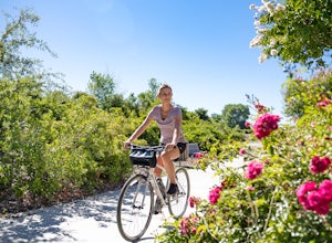
The Salinas River Walk in Paso Robles is one of the first sections of a planned 30 mile river trail extending from Santa Margarita in the south to San Miguel.
The trail can be accessed at several places, primarily at the south end at Lawrence Moore Park at the end of Riverbank Lane where there i...
Read more
-
Morro Bay, California
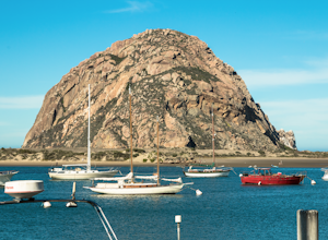
Morro Bay is located west about 13 miles of San Luis Obispo. Typically Pismo Beach and San Luis are the go to spots when traveling to that area, but after spending the day there I would highly recommend giving it a visit!
The first thing you'll see when pulling into downtown Morro Bay is the mas...
Read more
-
Big Sur, California
4.5
19.72 mi
/ 7484 ft gain
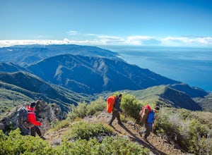
While you can make a day-hike out of it by driving up the gorgeous Sur-Nacimiento Road from Highway 1 to the Coast Ridge Road and take a 2 mile trail to the summit with 1300' of elevation gain (4 miles roundtrip), the more adventurous types do a Sea to Sky, starting at Kirk Creek Campground and u...
Read more
-
Big Sur, California
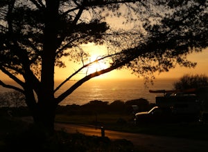
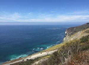
Campsite:There is nothing quite like driving or biking along US-1, the Pacific Coast Highway. Make sure you get a chance to do the drive during the day so that you can see all that Big Sur has to offer. Be careful when pulling off especially onto the shoulder and never stop on a curve in the road...
Read more
-
Big Sur, California
The Vicente Flat Trail is well kept and wide, with many campsites at the end. This trail is very close to Cone Peak, and is used for mountain biking, trail running, birding, and nature trips.
Read more
-
Big Sur, California
This campsite is split into two sections and is located directly below a bridge along Route 1 the Pacific Coast Highway. Be cautious turning into the park as the incline and turn are quite serious.Below the bridge are campsites located both along the tree line and tiered up along the hill. Under ...
Read more
-
Big Sur, California
4.0
1.98 mi
/ 696 ft gain
The Limekiln Trails offer up a moderate hike with defined trails, creek crossings, and limited elevation. From the parking area, head east under the canopy of redwoods until you get to the bridge, where there’s a kiosk marking the trail.
The three branches are ~0.5 miles each, making it easy to ...
Read more
-
Morro Bay, California
4.0
3.04 mi
/ 961 ft gain
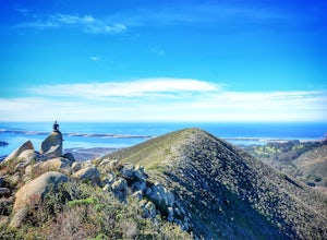
Park Ridge is a double peaked ridge, elevated at 911ft, which stands next to Cerro Cabrillo, one of the Nine Sisters. The stunning 360* degree views at the top of Morro bay, Los Osos and San Luis Obispo, make this hike worth exploring.
There are two ways to access the top. Park Ridge Trail takes...
Read more
-
Big Sur, California
5.0
9.2 mi
/ 3852 ft gain
To find this trailhead, head down Highway 1 towards Limekiln State Park Campground. Between Lucia and Limekiln, there should be a shoulder off the side of the road to park overnight. Cross the street to the trailhead of Twitchwell Flat Use Trail. Bear in mind that there is abundant poison oak alo...
Read more
-
Baywood-Los Osos, California
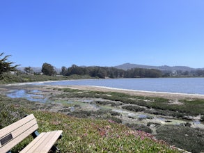
A quiet little beach front, with a raised boardwalk and beautiful views all around. A great place to walk the dog or take small children. Amazing sunsets and A+ for bird watching. Excellent spot to launch a kayak, canoe, or SUP. But watch the tides before you do. The water is usually glassy when ...
Read more
-
San Luis Obispo County, California
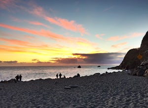
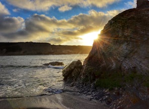
Spooner’s cove is one of those small hidden beaches where you can watch stunning sunsets in a peaceful environment. Located in Montana De Oro State Park, the small gem is surrounded by countless hikes and camping spot. It is also one of the only areas of the park that is dog friendly. If you are ...
Read more
-
San Luis Obispo County, California
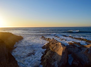
The Bluff Trail is a simple walk that takes you along the coast in Montaña de Oro. The trailhead is located just past Spooner's Cove and has parking on both sides of the road. The path is paved, making it easily accessible for anyone who wants to enjoy these incredible views.
If you're feeling a...
Read more
-
San Luis Obispo County, California
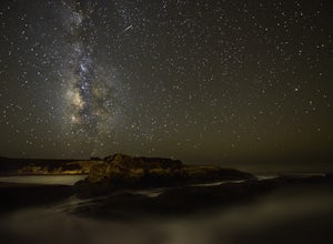
Located about 7 miles south of Morrow Bay, follow Los Osos Valley Rd into the state park. Watch for the signs to park, as you will be cited after 10pm.The campground is located just across the road from the famous Spooner's cove, but there are any number of trails and hikes you can enjoy (check ...
Read more

