Hearst Castle, California
Top Spots in and near Hearst Castle
-
San Luis Obispo, California
4.0
1.66 mi
/ 430 ft gain
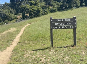
Eagle Rock Nature Trail is an out-and-back trail where you may see beautiful wildflowers located near San Luis Obispo, California.
Read more
-
San Luis Obispo, California
4.8
3.17 mi
/ 928 ft gain
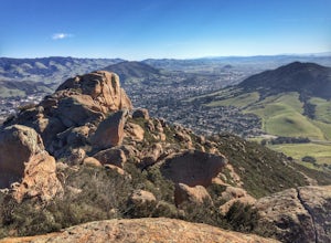
Bishop's Peak is one of the most frequented hikes of the San Luis Obispo Area. With a 950ft elevation gain in an estimated 3 mile trek, the summit's peak rests at 1,559 feet. The hike is both demanding and rewarding - the panoramic views at the top of the nearby volcanic morros and San Luis Obisp...
Read more
-
San Luis Obispo, California
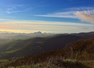
Start at the parking lot directly off of Highway 101, head up TV tower Road for 2.8 Miles and a 900' climb from 1500' to 2400'. The trail is an old fire road that has degraded over the years and is full of potholes. Starting October 2015, the road has been closed to vehicles as its being repaved ...
Read more
-
San Luis Obispo, California
4.0
3.34 mi
/ 1286 ft gain
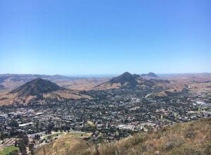
This short but intense hike on the north east side of San Luis Obispo, offers an amazing view of the town. This hike is roughly 3 miles with 1300 ft of elevation gain. It provides a great cardio workout! It is also a very popular spot to hike but is less crowded than Bishop Peak. It's a dog frie...
Read more
-
Greenfield, California
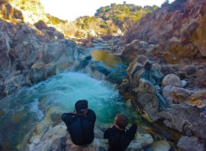
This off-the-beaten-trail adventure has a little bit of everything for everyone, and is as challenging as you make it. Many just make it about a mile down to the river for a leisurely day of relaxing, swimming, sunbathing, and enjoying a few cold beverages. Others embark on a 7+ mile adventure up...
Read more
-
San Luis Obispo, California
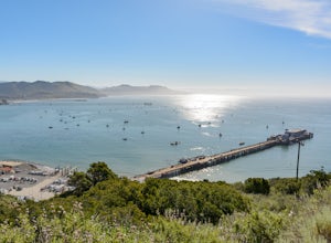
This guided roundtrip hike to Point San Luis Lighthouse has one of the best views of the central coast coastline. You will get a chance to see the Avila Beach, Avila Pier, Call Poly Pier, and Harford Pier from a high point.
The trail crosses through a land owned by PG&E; therefore, the hike...
Read more
-
San Luis Obispo, California
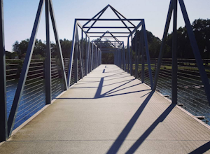
The Bob Jones Trail provides a variety of activities -- running, walking, biking, skateboarding/rollerblading, and some exploring by the creek. You can choose where you would like to start, across the street from the Central Coast Aquarium off Avila Beach Dr. or from the parking lot off Ontario R...
Read more
-
Big Sur, California
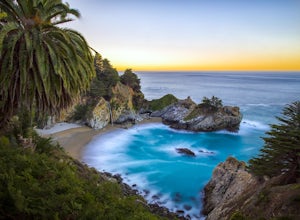
McWay Falls is one of the most iconic waterfalls in BIg Sur and can be seen from Highway 1. The trail to the falls is located in Julia Pfeiffer. For all of you history buffs, Mcway Falls is named after Christopher McWay, an early settler and farmer from New York who ventured west in the late 1800...
Read more
-
Big Sur, California
4.5
4.2 mi
/ 1500 ft gain
The Ewoldsen Trail is one of the more accessible yet challenging hikes in Big Sur. It is a beautiful ~4-mile loop through the redwood forest that starts in the Julia Pfeiffer state park parking lot, which is across the street from McCay falls. During the first part of the hike, you'll pass picnic...
Read more
-
Big Sur, California
Access the Waters Ridge Trail from the Ewoldsen Trail, located in Julia Pfeiffer Burns State Park. Although steep, this path is fairly short, and rewards you with spectacular views at the top. About halfway around the Ewoldsen Trail Loop, you'll come across a turnoff on the right, with a sign dem...
Read more
-
San Luis Obispo, California
4.0
2.79 mi
/ 679 ft gain
Ontario Ridge to Shell Beach Bluff Trail Loop is a loop trail where you may see beautiful wildflowers located near Avila Beach, California.
Read more
-
San Luis Obispo, California
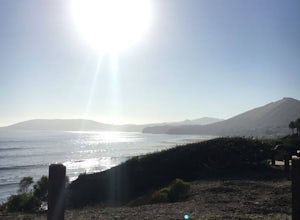
When I attended Cal Poly San Luis Obispo, I would come out to this place to watch the sunset. It was my favorite spot to sit on a rock and take in the beautiful scenery as the sun went down. You don't really have to hike to get a nice view, you can park the car and walk out to the rock cliffs and...
Read more
-
Big Sur, California
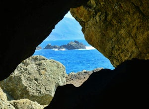
Partington Cove which is located in Julia Pfeiffer Burns State Park, is one of Big Sur's hidden gems. It's a very short hike with enough views to show why Big Sur earned the nickname " Little Yosemite." The whole hike can easily be completed in less than an hour, although there are definitely eno...
Read more
-
Big Sur, California
5.0
1.09 mi
/ 262 ft gain
Partington Cove Trail is an out-and-back trail that takes you by a waterfall located near Big Sur, California.
Read more
-
Big Sur, California
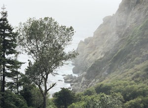
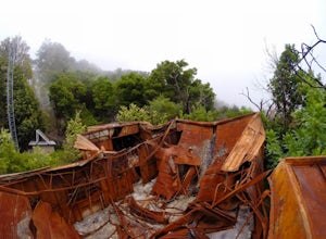
When it comes to the beauty of Big Sur, a half day on Tanbark Trail to the Tin House captures it all. From the redwood forest along Partinton Creek, to the abandoned Tin House, to Highway 1 and coastal views, you can't ask for much more.The hike starts on the east side of Highway 1 - the northern...
Read more
-
Pismo Beach, California
Shell Beach is north of downtown Pismo Beach. This is a fun wave that works best during the fall and winter months. It's a beach break with both lefts and rights. The wave is rippable and is less popular than waves at the pier or at Morro Bay. However, the wave is much less consistent than the ot...
Read more

