Top Spots in and near Golden Gate National Recreation Area
-
3160 North Shoreline Boulevard, California
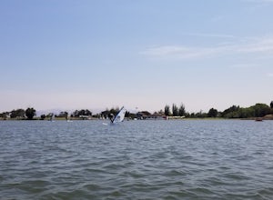
Shoreline Lake features a big lake, many hiking and biking trails, and lot of picnic areas in Mountain View, CA. Kayaks, SUP, and various boats can be rented from the boat house. This is a great place to enjoy the water no matter what season it is. There are large grassy areas for kids to run and...
Read more
-
Santa Rosa, California
With multiple loops of varying length, this park is great for anyone looking for a casual hike around a beautiful area in the foothills of Rohnert Park. Crane Creek has nice secluded picnic areas next to the creek in the cover of willow, alder, buckeye and bay trees. There's also an 18-hole disc ...
Read more
-
Antioch, California
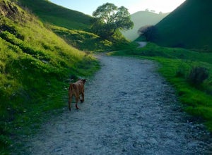
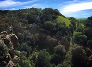
This is a fun day hike that takes you through the beautiful hills of the Black Diamond Mines Regional Preserve and a bit of the Contra Loma Recreational Area as well. You can hike here year round, but I suggest going in the spring time when the hills are covered in soft, green grass and the wild ...
Read more
-
Glen Ellen, California
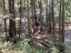
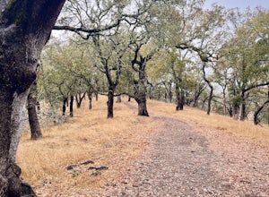
Sonoma Ridge Trail is a beautiful 9.2-mile out-and-back hike located near Glen Ellen, California. This hike is moderately difficult, with about 1955 feet in elevation change. 95% of the trail is covered in forest shade.
Important Notes:Bikes and Horses are permitted on the trails. Dogs are NOT p...
Read more
-
Glen Ellen, California
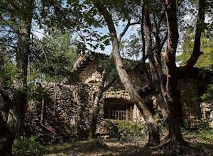
There is a museum in "The House of Happy Walls" which Mrs. London built in redwood grove find park information, exhibits and a small sales area there. A nearby trail leads to Jack London’s grave and to the remains of "Wolf House," London’s dream house which was destroyed by fire in 1913.
The par...
Read more
-
Glen Ellen, California
4.0
2.48 mi
/ 289 ft gain
Corridor Ridge Loop Trail is a loop trail where you may see wildflowers located near Glen Ellen, California.
Read more
-
Sunol, California
4.3
6.4 mi
/ 1443 ft gain
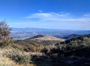
Pleasanton Ridge Trail is a 6.4 mile loop. The loop is shared by dog walkers, trail runners, hikers, mountain bikers and horseback riders. From the ridge your viewpoints will include Mount Diablo and the San Francisco Bay.
This hike from the Foothills Staging Area is an excellent introduction ...
Read more
-
Los Altos, California
Disclaimer: Foothills Park requires proof of residence in Palo Alto or being accompanied by a resident of the city. Learn more here.Foothills Park is 2.7 miles west of 280 after exiting Page Mill. After exiting you take a short scenic drive up the hill and come to the park entrance on your right...
Read more
-
Fairfield, California
5.0
13.5 mi
/ 498 ft gain
This is a 13.5 mile loop route in Fairfield, California. The route has a total ascent of 498 feet and has a maximum elevation of 369 feet.Begin your ride at the corner of Oliver Road and Mankas Corner Road. Along Mankas Corner Road you'll pass the Napa Grass Farmer community farm and Il Fiorello ...
Read more
-
Livermore, California
4.5
4.38 mi
/ 620 ft gain
This regional preserve is perfect for day hikes. There are also designated campsites and even a backpack campsite. Horses and dogs are welcome in the preserve.
There are many different clearly marked trails that one can choose from. A good 4.5 mile loop is to start at the Park Residence entrance...
Read more
-
Santa Clara County, California
Just outside of Los Altos is a very long ridge of mountains, one of which is Black Mountain.
This is a very dry hike, with no tree canopy, so it can get very hot! Be aware that this can make the hike feel a lot more difficult with the sun beating down on you. Follow Rhus Ridge Trail to Black Mo...
Read more
-
La Honda, California
5.0
12.19 mi
/ 2192 ft gain
The Pescadero Creek Park Complex is a great place to escape for a day or overnight hike in the heart of the Bay Area. You will need to get a permit to stay overnight - these can be attained on a first-come, first-serve basis from the ranger station. Most of the campsites here are also available f...
Read more
-
Los Altos, California
This hike is best done in the late fall, winter, and spring so that the creek is running and the hills are green. Starting at the preserve parking lot, the first half of the hike is predominantly downhill. At the main trailhead, start in the direction of the Stevens Creek Nature Trail, as told by...
Read more
-
Los Altos, California
This hike can be done during any season, but for the creek to be running and for more comfortable temperatures, it is best to go on a cool winter or spring day.
Starting at the preserve parking lot, take the Stevens Creek nature trail, allowing you to witness spectacular views of a large, foreste...
Read more
-
Fremont, California
4.2
6.16 mi
/ 2116 ft gain
Breathtaking views of the Bay Area are your reward for making this climb to the top of Mission Peak. It’s a 3-mile trek to the top of the peak and then back down the same way. This is a moderate hike that provides a nice workout – so be prepared.
Park at the Stanford Avenue entrance gate. There ...
Read more
-
La Honda, California
The Brook Trail Loop is a beautiful hike, starting off in Sam McDonald County Park and later entering into Pescadero Creek County Park. This adventure can be done in any season, with the trails almost entirely shaded for even the hottest summer days.
Starting off from the Heritage Grove trailhead...
Read more

