Top Spots in and near Golden Gate National Recreation Area
-
Redwood City, California
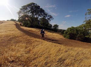
Russian Ridge offers a great place to jump on the trail and in the right season, see some of the best wildflowers blooming. On top of that, you get access to amazing views from the ridge.
Once you hit your parking space, add a little extra warm up before jumping on the trail to make this 3.7-mil...
Read more
-
Yountville, California
The Napa Vally Vine Trail is an ongoing project of the Napa Valley Vine Coalition which has the stated goal of creating a 47 mile long bike trail along the entire length of Napa Valley.
Currently 12.5 miles of trail is available between downtown Yountville and Kennedy Park in the city of Napa. Yo...
Read more
-
San Jose, California
This tranquil 20.6 acre park is open year round from 8am to sunset. It’s the gateway to the Don Edwards San Francisco Bay National Wildlife Refuge. It is filled with boardwalks, trails, and all kinds of wildlife. I went here with the sole intent of catching a pretty sunset after a long week. I g...
Read more
-
La Honda, California
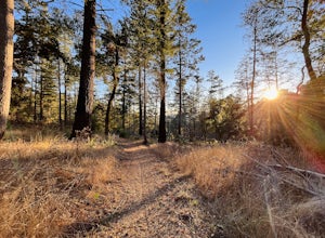
There are a bunch of beginner to intermediate mountain biking trails at Skyline Ridge Open Space Preserve (click here for a trail map). There are some beginner mountain biking classes that come here to learn. You can find specific trails that match your ability at MTB Project.
There is a Chris...
Read more
-
Loma Mar, California
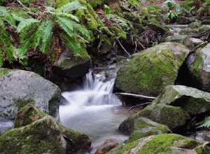
With old growth redwoods and a creek swimming area, Memorial Park is a perfect escape from the hustle and bustle of the Bay Area. Memorial Park is only a few miles east of the town of Pescadero. To get here, you can either approach from Highway 1 and drive up Pescadero Creek Road or take Highway ...
Read more
-
Loma Mar, California
5.0
12.5 mi
/ 1350 ft gain
Pescadero Creek County Park and the connected Sam McDonald and Memorial Park are located deep in the Santa Cruz Mountains holding a vast network of secluded trails. From biking to backpacking, this area is a perfect place for a day or weekend adventure. This area also has the added bonus having r...
Read more
-
Santa Rosa, California
4.2
4.89 mi
/ 1096 ft gain
From the northern entrance to the park, you can access an 18-hole disc golf course as well as a number of trails. The Eastern Trail takes you up a steep 1,000 feet to the top of Taylor Mountain, where you can see most of Sonoma County laid out before you. Mt. St. Helena is visible in the distance...
Read more
-
Rancho San Antonio Open Space Preserve, California
Rancho San Antonio Open Space Preserve has many beginner to intermediate hiking trails. Deer Hollow Farm Trail Loop is a hiking trail for beginners, families, or anyone wanting to go on a short hike with nice views of the bay.
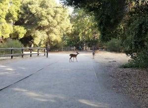
The trail passes by a farm and deer can often be seen wandering aroun...
Read more
-
Saint Helena, California
Park at the top of Adobe Canyon Road in the gravel parking lot to the left of the ranger kiosk. There is a $7.00 parking fee.There are many options for routes to the top; the easiest of which is mostly paved (although still steep in parts). To take this route, head north out of the trailhead park...
Read more
-
Kenwood, California
4.0
2.17 mi
/ 568 ft gain
The Pony Gate-Canyon Loop within Sugarloaf Ridge State Park is a new favorite of mine on my list of family and kid-friendly hikes. Our little girls did great with this hike and loved it. If you can get moving early in the day and begin your hike around breakfast time, you might find there are few...
Read more
-
La Honda, California
From the parking lot, take the connector trail towards the Peters Creek Trail for 0.4 miles. As you descend into a small valley, notice the sound of running water that appears. When you reach the first trail intersection, turn left on the Peters Creek trail. This will give you your first encounte...
Read more
-
Pescadero, California
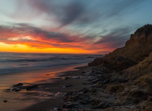
There are a bunch of places to photograph this beach if you head north on the trail that runs along the beach.There is parking at the beach but it can fill up quickly!The only warning you need is about the tide. Make sure you are watching it the entire time because it can creep up on you and will...
Read more
-
Sebastopol, California
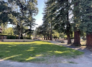
Ives Park is the oldest park in Sebastopol, California, and is located only 2 blocks from downtown Sebastopol. The park has many picnic tables with barbecues, a baseball diamond, a playground, and a community pool.
Amenities:
Parking for the park is on the street surrounding the park. There is ...
Read more
-
Santa Rosa, California
Hood Mountain Summit via the Lower Johnson and Upper Johnson Ridge Trails is a 6 mile out-and-back trek located in Santa Rosa, CA.
The trailhead starts at the Pythian Road parking lot, accessed from Highway 12. The hike takes 3.5 to 4 hours to complete and is considered strenuous. All trails are...
Read more
-
Sebastopol, California
4.0
3.95 mi
/ 115 ft gain
Laguna de Santa Rosa Loop Trail is a loop trail that takes you by a lake located near Sebastopol, California.
Read more
-
Sunol, California
4.0
3.01 mi
/ 705 ft gain
Please note this is a fragile ecosystem and watershed. There is NO swimming allowed in Alameda Creek and trespassing is prohibited on Water Department lands that are not accessible to the public. You can learn more about the restrictions and the area at ebparks.org.
After entering the kiosk you...
Read more


