Top Spots in and near Golden Gate National Recreation Area
-
Vacaville, California
Begin your ride in Vacaville, California out of Alamo Creek Park (street parking is available and free). Head north on Alamo Drive and veer left onto Foothill Drive, then left (South) onto Pleasants Valley Road. After two miles, veer left onto Cherry Glen Road. Stay to the right when you reach th...
Read more
-
Saratoga, California
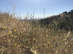
The Seven Springs loop is only one great option of several in the preserve. Starting from the Prospect Rd parking lot the loop is 2.8 miles of rolling hills in and out of the shade. Most of the trail is at least 2 person width so easy to walk with a friend or furry companion. There have been larg...
Read more
-
Santa Rosa, California
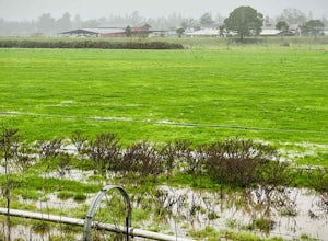
Santa Rosa Creek Trail: Willowside Road to Fulton Road is an out-and-back trail that takes you by a river located near Sebastopol, California.
Read more
-
Santa Rosa, California
5.0
7.91 mi
/ 2372 ft gain
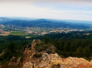
Hike to Gunsight Rock through Hood Mountain Regional Park to get a view overlooking Sonoma and Napa Valley. In order to get to the trailhead take Highway 12 to Los Alamos Rd, the road will then turn into Timberline Dr, this will take you to the trailhead. There is a parking fee of $8.
From the p...
Read more
-
Pescadero, California
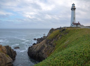
Pidgeon Point Lighthouse is conveniently located just 50 miles south of San Francisco. Constructed in 1872 and standing at 115 feet, it is among the tallest lighthouse in America.Part of the state park system, it is surprisingly secluded. Numerous parking space were available in the lot with hand...
Read more
-
Pescadero, California
We started off in Big Sur and took as many pull-off viewpoints as possible between Big Sur and the final destination, Pigeon Point Lighthouse. The weather was foggy in some spots but would open up to reveal the vast Pacific Ocean and sun in others. The weather was mild for us but we're familiar w...
Read more
-
Bodega Bay, California
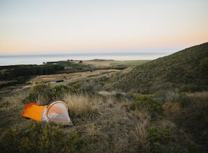
These kind of getaways shouldn't be planned many weeks before the trip. So we didn't booked a campground. And from this experience we learn that you don't have to reserve a campground. Just go there - don't panic when you see campground is full sign in the entrance. There are always available spo...
Read more
-
Bodega Bay, California
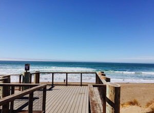
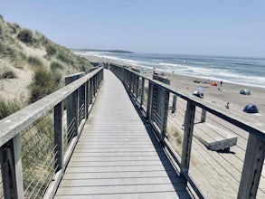
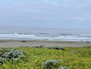
Bodega Dunes Beach is located through the same entrance as Bodega Dunes Campground. There is a fee to enter the parking area for day use, but you can also access it without payment if you have a CA State Parks Pass.
From the parking area heading toward the beach, you will see two picnic areas wi...
Read more
-
Livermore, California
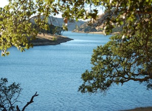
Looking for a quick summer escape filled with stand up paddling, canoeing, fishing, hiking, and picnics? Look no further than Del Valle Regional Park. Consistently considered one of the best campgrounds in the Bay Area, the centerpiece of Del Valle is a 5-mile long lake that allows swimming, fish...
Read more
-
Occidental, California
The Grove of Old trees is a privately-owned preserve in Western Sonoma County that is open to the public year round. It is not large, only about 33 acres, but it makes a wonderful spot to go on a walk and to soak in the beauty of the redwoods.
To get there from downtown Occidental, drive West up...
Read more
-
Sonoma County, California
Salmon Creek State Beach located is located just off Highway 1, north of Bodega, California. This beach has a parking lot and restroom on the cliff side, just a short walk down to the beach.
DogsBoth North and South Salmon Creek sections of the state beach are not dog friendly due to the Federa...
Read more
-
Saratoga, California
Want to experience one of the bay area's most memorable backpacking trips? We've got the details to get you out on the trail.
To start the trek, drop your car at the Castle Rock State Park Parking Lot, which is located ~2.5 miles south of the junctions of Highways 35 and 9 off of Highway 35. Not...
Read more
-
Saratoga, California
Castle Rock Trail Camp has a different policy than other backcountry camps in the area (i.e. campsites along Skyline to the Sea). This campground is open all year and is available on a first come, first served basis. If you can, grab a spot a Frog Flat Camp. To get to the camp, park your car at t...
Read more
-
Los Gatos, California
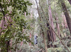
The Saratoga Gap Trail is relatively lightly trafficked trail that is good year round, although waterfalls peak in late winter and spring. Overall, this 4.7 mile partial loop hike is moderate, with about 1000 feet in elevation change. Trailhead elevation is about 3090 feet. The featured hike desc...
Read more
-
Saint Helena, California
5.0
6.53 mi
/ 764 ft gain
The "lollipop" hike starts at the "Ranch House" parking lot off of Chiles Pope Valley Road - alternatively, you can access from Conn Valley Road for a shortened 5.6-mile loop. You turn off Chiles Pope Valley Road onto Moore Creek Trail, drive past a private house (you can see it on the map) and t...
Read more
-
Livermore, California
Get ready for one of the toughest, lung busting hikes in the east bay with over 6-miles and 4,000ft of climbing in one direction. When you make it to the hike, it's also important to realize that without recent rain, there many not actually be a waterfall. With that said, you're still getting in ...
Read more

