Fullerton, California
Looking for the best photography in Fullerton? We've got you covered with the top trails, trips, hiking, backpacking, camping and more around Fullerton. The detailed guides, photos, and reviews are all submitted by the Outbound community.
Top Photography Spots in and near Fullerton
-
Newport Beach, California
Explore Deer Canyon
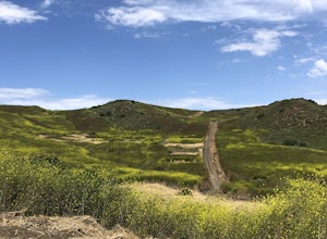
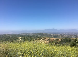
6.9 mi / 1489 ft gainThe Deer Canyon Loop Trail is an easy drive from Orange County and Newport Beach. In the spring, wildflowers are abundant along the trial. This is a favorite spot for trail runners, hikers, and mountain bikers. The trail is kept in great condition year-round and is very wide. There is very little...Read more -
Lake Forest, California
Hike Borrego Canyon to Red Rock Canyon Trails
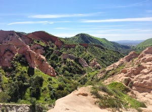
4.64.2 mi / 500 ft gainJust south east of the city of Irvine, on the southern end of Orange County, is the scenic Whiting Ranch Wilderness Park. Don't let the newly developed shopping centers restaurants fool you, because just beyond the parking lot ($3 Daily Use Fee) of the Borrego Canyon Trailhead, you will find your...Read more -
La Verne, California
Marshall Canyon Trail
4.05.99 mi / 722 ft gainFor this adventure you can choose to start in a multiple of places; for the easiest parking use Oak Mesa Park located next to Oak Mesa Elementary School. From the parking lot cross the soccer field towards the bridge on the north east end of the school. Once across the bridge follow Los Robles ea...Read more -
Los Angeles, California
Sunset Hike in Ascot Hills
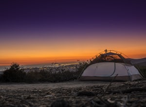
3.5Ascot Hills Park is a great hidden gem located a few miles east of Los Angeles. There is a parking lot with plenty of parking but the gates close at sunset, which is a great time to go, so if you plan on staying later, park outside the gates where there is ample street parking. Depending on the s...Read more -
Silverado, California
Harding Falls Trail
5.05.96 mi / 1378 ft gainThe lot provides free parking, with plenty of spaces available throughout the day. The first few miles feature a descent into the canyon on a defined trail out in the open. The way back up is a decent incline in the sun! Be prepared, because even though 6+ miles may not seem too hard, this h...Read more -
Monrovia, California
Monrovia Falls
3.71.46 mi / 459 ft gainMonrovia Falls is closed indefinitely due to the Bobcat Fire and mudslides. Read more on the CityofMonrovia.org website. The Monrovia Falls are at the end of the main trail located in Monrovia Canyon Park. The park is easy to locate and has ample parking. Keep in mind you do have to pay a fee of...Read more -
Laguna Beach, California
El Moro Canyon Trail to Lower Moro Campground
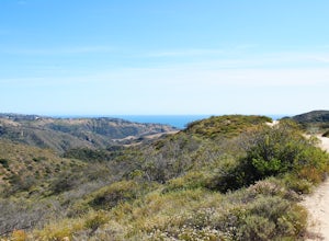
3.56.37 mi / 997 ft gainLocated off of Pacific Coast Highway in Laguna Beach is Crystal Cove State Park. There are three primitive sites located in Crystal Cove: Deer Canyon, Upper Moro, and Lower Moro. The site I stayed at was Lower Moro campground. All three of these sites require the backpacker to hike everything in...Read more -
Laguna Beach, California
El Moro Canyon Trail
5.04.94 mi / 814 ft gainThe trail features a waterfall and is open year-round, but is best used in the spring. Remember to bring $15 cash for the parking fee. The Laguna Beach trail is shared by trail runners, mountain bikers, hikers, and the occasional horseback rider. Dogs are not allowed in Crystal Cove State Park.Read more -
Laguna Beach, California
B.F.I. Trail in Crystal Cove State Park
5.00.78 mi / 125 ft gainTo get to the trailhead, enter Crystal Cove State Park through the Crystal Cove El Moro Campground entrance immediately next to El Moro Elementary School. Follow the road behind the school which leads to the main gate where you will need to pay a day-use parking fee of $15. Drive past the Campgr...Read more -
Laguna Beach, California
Hike Willow Canyon, Laguna Coast Wilderness Park
5.06.7 mi / 1208 ft gainThis hike has been a must do since I was young. Do you love scenic views of the ocean and wildlife? You'll see plenty of both, from hawks searching for food to squirrels and deer running through the brush. This is my favorite route in this area but there are plenty of other trails to shorten or a...Read more -
Laguna Beach, California
Crystal Cove Loop Trail
4.04.05 mi / 676 ft gainThe trail begins and ends at the El Moro Visitor Center. Parking requires either a $15 day use parking pass, which is available in the visitor center. This hike we are focusing on is called the Difficult Loop Trail and it is the third most difficult trail the canyon offers. You take Moro Canyon,...Read more -
Aliso Viejo, California
Top of the World via West Ridge Trail
5.04.76 mi / 443 ft gainDirections to get here are pretty straight forward via the map. You park your car in a residential neighborhood along the street, and from there, you can't miss the entrance. The trail is paved for the first 100yds or so and after you make a right turn at the top, you'll be on dirt and sand the r...Read more -
Los Angeles, California
Ord & Yale Street Park
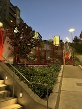
4.0Recently opened in 2021, right behind the LA Library in Chinatown, you’ll find this secret gem, tucked away in the corner. Covered picnic tables, with checkerboard game boards in place, and all gender bathrooms with changing tables for the little ones. Two play areas as well as a small climbing w...Read more -
Laguna Beach, California
Photograph the Pacific Coast Highway over Crystal Cove Beach
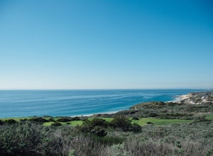
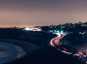
4.4To get to the bluffs overlooking Crystal Cove State Park Beach to the south, you'll need to pull off onto the side of the Pacific Coast Highway *before* Morro Ridge Road.The easiest and most obvious turnoff is on the right side of the highway southbound, just past the "Adopt a Highway" sign and w...Read more -
Laguna Beach, California
Emerald Canyon & Bommer Ridge Loop
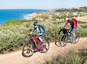
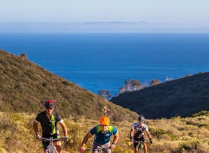
5 mi / 873 ft gainThere a numerous trails in the Laguna Coast Wilderness that proceed up and along the ridges and down into the canyons (or the reverse), and are quite popular for mountain biking, hiking, and trail running. A great mountain biking loop begins in Emerald Canyon at the end of Emerald Canyon Road an...Read more -
Los Angeles, California
Secret Swing in Elysian Park
4.20.16 mi / 360 ft gainFor the most direct directions to the swing, plug in "Swing on top of Elysian Park" into google maps, which will take you directly to the trailhead. If you want to do it the more old fashion way, the swing is on top of a hill at the intersection of Angels Point Drive and Park Row Drive in Elysian...Read more

