Fullerton, California
Looking for the best photography in Fullerton? We've got you covered with the top trails, trips, hiking, backpacking, camping and more around Fullerton. The detailed guides, photos, and reviews are all submitted by the Outbound community.
Top Photography Spots in and near Fullerton
-
Los Angeles, California
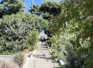
Mattachine Steps
5.00.09 mi / 52 ft gainThe Mattachine Steps, also known as the Cove Avenue stairway, is dedicated to the Mattachine Society (The name was taken from a medieval French secret society that set out to right wrongs.) in 2012 in memory of Harry Hay, who cofounded the gay rights group. Right along this stairway is a small ho...Read more -
Laguna Beach, California
Surf Brooks Street Beach
5.0Brooks Street Beach is just a couple of blocks off the Pacific Coast Highway in Laguna Beach. Parking can be tricky, so be forewarned that you may need to walked a few blocks. Winter can be good, but during the summer and big south swells are when you want to go surfing, so be sure to check out ...Read more -
Los Angeles, California
Piano Mural Staircase aka “Murray Staircase”
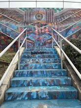
5.00.08 mi / 69 ft gainThe “Piano Stairs” is a stair mural in Silver Lake neighborhood section of LA. Not to be confused with the “Music Box” staircase that is close by. These 90 steps were painted to look like the piano keyboard by the artist Carrey. Great for a cardio workout and not as creepy as some of the stairs h...Read more -
Laguna Niguel, California
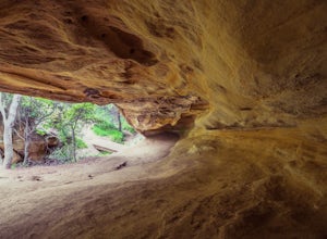
Dripping Cave in the Aliso & Wood Canyons Wilderness
4.47.68 mi / 889 ft gainDripping Cave sits tucked away in a corner of Wood Canyon, part of the Aliso and Wood Canyons Wilderness Park, and the trail to the cave, while short, requires *at least* a 2.25 mile hike in from the nearest trailhead (West Ridge Trail to Mathis Canyon), though this is less than ideal as that rou...Read more -
Los Angeles, California
Secret Stairs Astro Loop
2.34.21 mi / 600 ft gainI learned about these remnants of Los Angeles history, just a few months ago. When I found myself in L.A. this past month, I decided to find some of these stairs, and find out what they’re all about. Back in the 1920’s these stairs were created for pedestrians to have direct routes to the trans...Read more -
Los Angeles, California
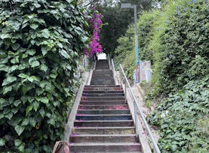
Micheltorena Stairs
3.00.19 mi / 75 ft gainI preferred the steps, before anything was painted on them. Whoever thought it would be a great idea to do that was wrong. No upkeep and these stairs have been heavily vandalized. The steps are a series of stairways you will find throughout Silver Lake and neighboring areas. They facilitated peo...Read more -
Laguna Niguel, California
Kick Back at Laguna Niguel Regional Park
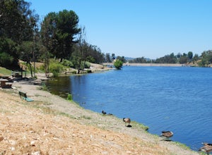
This is an awesome tucked away little adventure that will have you occupied all day! With plenty of picnic tables you can be sure to have your own privacy tucked into a corner free from other people. Grab a lake side picnic table or even the numerous ones around the grass fields, they are all won...Read more -
Laguna Beach, California
Exploring Pearl Street Beach's Arch Rock
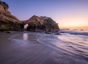
4.0Pearl Street Beach is a great spot to just chill and watch (and photograph) the sunset with friends and family. Parking for the beach can be found on S. Coast Hwy (the 1) and is meter parking. There is also free, but limited parking available along the smaller streets closer to Pearl Street Beach...Read more -
Los Angeles, California
Landa St Stairs (Esther's Steps)
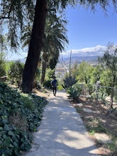
5.00.18 mi / 138 ft gainOne of the hidden gems of the neighborhood, a beloved local named Esther Aagaard Tapebland walked these steps everyday, for 50 years in Silver Lake. Fountain Ave becomes Landa St. Park on Griffith Park Ave and hike your way up the steep driveway. Amazing views of Hollywood, the Hollywood Sign, th...Read more -
Trabuco Canyon, California
Hike the Bellview to Dove Lake Trail
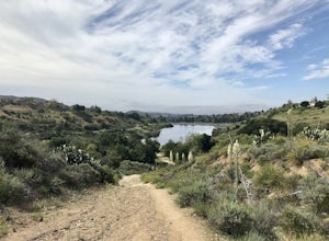
2.5 mi / 75 ft gainThis hike will be about going from the Bellview Trailhead to Dove Lake and back. Note that once you get to Dove Lake there are numerous offshoots that can take you in different directions (you can follow the road into the Dove Canyon housing community, take a paved road back to the Bellview parki...Read more -
Altadena, California
Thalehaha Falls
1.71 mi / 679 ft gainThe trails starts in a foothill neighborhood of Altadena CA at the corner of Pleasantridge Dr. and Rubio Vista Rd. This is one of the better entries into the Angeles National Forest because it is one of the lesser known. Find a place to park on the street and head out on the trail into Rubio Cany...Read more -
Laguna Beach, California
Explore Laguna Beach's Pirate Tower
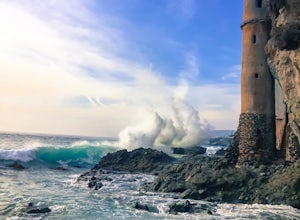
4.4To find this little hidden treasure, put Victoria Beach into your phone as your destination and park for free on S Coast Highway anywhere between Sunset Terrace, McAulay Place, or Victoria Drive. Make your way down any of these streets toward the beach and you will see stairs going down at the en...Read more -
Altadena, California
Echo Mountain and Inspiration Point Loop
4.110.16 mi / 3369 ft gainThe trail switchbacks up the mountain before reaching the first historic marker, in 3 miles. These are the remains of the Mount Lowe Railroad, which brought customers to Echo Mountain Resort, also in ruins, nearby. Explore the historic sites, then head up Castle Canyon Trail. A steep climb will ...Read more -
Los Angeles, California
Hoover Walk
4.0In 2009, the people that lived in the neighborhood, close to the stairs, wanted to find a way to fight the graffiti that was being put on the structures and stairs themselves. Artist Ricardo Mendoza was commissioned to paint a giant mural that would cover most of the concrete walls that surround ...Read more -
La Verne, California
Cattle Canyon Trail
6.7 mi / 1066 ft gainWithin the San Gabriel Mountains from Highway 39 and along East Fork Road is Cattle Canyon. To go through Cattle Canyon, you can access the trail head just south of the Bridge to Nowhere trail head along East Fork Road right after it intersects with Glendora Mountain Road. There is a small parkin...Read more -
Rancho Palos Verdes, California
Burma Road Trail & Ishibashi Trail Loop
4.35.09 mi / 1148 ft gainGetting There: The easiest way to get to Portuguese Bend Nature Reserve is by following Crenshaw Boulevard up Rancho Palos Verdes to the very end of the street. You can park on either side of the street near Del Cerro Park, which also happens to be a great place for picnics if you want to eat bef...Read more

