Darwin, California
The best Trails and Outdoor Activities in Darwin, California offer a range of outdoor adventures. The top pick is the Darwin Falls trail, a must-visit for its unique desert waterfall. This 2-mile round trip is moderately challenging with uneven terrain and rock scrambling. It offers scenic views of the waterfall and lush vegetation, a stark contrast to the surrounding desert. Another popular trail is the China Garden Spring trail, known for its historic mining sites and rock formations. For those interested in bird-watching, the Coso Range Wilderness area is a great choice with its diverse bird species. Near Darwin, the Death Valley National Park offers a range of activities including hiking, camping, and star gazing. It's home to the famous Badwater Basin, the lowest point in North America. All these places offer the best of Darwin's outdoor attractions.
Top Spots in and near Darwin
-
Tulare County, California
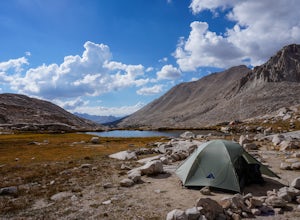
John Muir Trail: Camping Above Guitar Lake
Plan your last night to be spent near Guitar Lake at one of the unnamed lakes just a half mile above it along the trail. You'll find sun late into the afternoon and it serves as a great basecamp to hit Mt. Whitney for sunrise early on your final morning on the JMT.Find out everything you need to ...Read more -
Inyo County, California
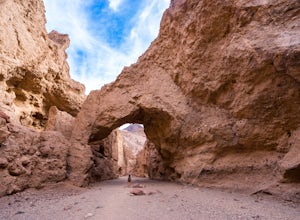
Natural Bridge Canyon
4.71.39 mi / 518 ft gainNatural Bridge Canyon is one of the few canyons in Death Valley with an official trailhead that can be easily accessed from the parking lot. You’ll find the trailhead off Highway 178, just 4 miles south of the Artist’s Drive scenic loop. The hike is nice and easy and great for families or large ...Read more -
San Bernardino County, California
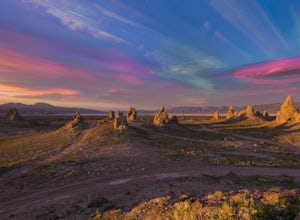
Trona Pinnacles
4.6The Trona Pinnacles in the California Desert National Conservation has a very unusual-looking landscape, which consists of hundreds of tufa spires reaching about 140 feet, all with varying shapes and sizes. From the drive-in to the drive-out, bone-chilling and awe-inspiring landscape as far as t...Read more -
Inyo County, California
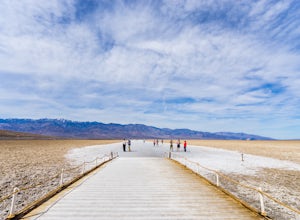
Badwater Basin's Salt Flats
4.61.92 mi / 43 ft gainTaking a walk on the salt flats at Badwater Basin is like no other experience in Death Valley National Park. These flats cover nearly 200 square miles across the park, which makes them one of the world’s largest protected salt flats. With an elevation of 282 feet below sea level, Badwater Basin i...Read more -
Inyo County, California
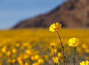
Photograph Death Valley's Wildflower Bloom
4.52 mi / 200 ft gainEvery spring, a few plants and flowers spring up from the driest place in North America, California's Death Valley National Park. Knowing where to go is important, but not as important as knowing when to go. Wildflower season only lasts a few weeks before daytime temps hit 80º and the flowers go ...Read more -
Inyo County, California
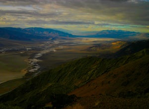
Photograph Dante's View of Death Valley
4.7In all of Death Valley National Park, Dante's View might just be the best spot to watch the light fade away after a long day. Unfortunately, it is one of the highly missed spots along the Highway 190 Death Valley route. This might be due to the fact that it is about 15 miles off of the highway, b...Read more -
Kern County, California
Walker Pass Campground Trail
1.84 mi / 240 ft gainWalker Pass Campground Trail is an out-and-back trail where you may see wildflowers located near Onyx, California.Read more -
Seven Pines, California
Mt. Williamson via Shepherd Pass
5.026.66 mi / 10653 ft gainThis trail starts at the lowest, and generally regarded hardest, trailhead in the Southern Sierras. You quickly gain elevation in what many describe as manageable but relentless. The first section of the hike has nice shade and adequate water access. Very enjoyable company to boot! Once you cros...Read more -
Inyo County, California
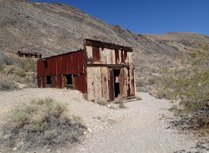
Explore Leadfield Ghost Town
Leadfield is located on Titus Canyon Road and requires a high clearance vehicle to get back and explore. There is a marker designating the site so it is easy to find. There is about three in tacked buildings and several other ruins along with a few mine shafts. Copper and lead claims were filed i...Read more -
Tulare County, California
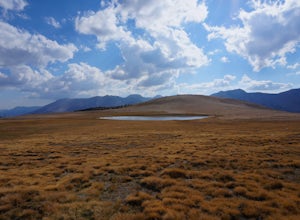
John Muir Trail: Camping at Bighorn Plateau
Another rare but welcomed flat open space along the JMT. The night sky here will blow you away so if you're a photographer this is a great opportunity to capture the incredibel Sierra night sky. Do be careful about camping in the open space in regards to weather. A thunderstorm in this area could...Read more

