Darwin, California
Looking for the best chillin in Darwin? We've got you covered with the top trails, trips, hiking, backpacking, camping and more around Darwin. The detailed guides, photos, and reviews are all submitted by the Outbound community.
Top Chillin Spots in and near Darwin
-
Inyo County, California
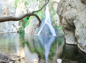
Hike to Darwin Falls
5.02 mi / 275 ft gainYes, you saw this right, it's a waterfall in Death Valley. This magical oasis has water flowing year round and is found in the driest place in North America. Death Valley is full of amazing places, but this should be on everyone's to-do list! It's a short hike that quickly rewards you with a plac...Read more -
Darwin, California
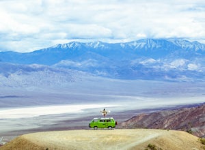
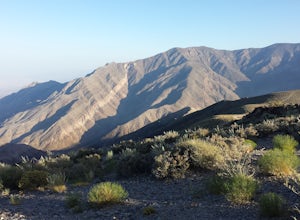
Photograph Panamint Valley from Father Crowley Overlook
0.5 mi / 150 ft gainFather Crowley Overlook is an easily missed overlook on the western edge of Death Valley National Park off State Highway 190 overlooking Panamint Valley. It is easy to miss because the parking area doesn't appear to have a particularly notable vista, but leading off from the parking area to the s...Read more -
Inyo County, California
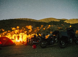
Camp at Death Valley's Wildrose Campground
There is a ton to see here, exploring Death Valley is the perfect way to spend a weekend away. We decided to explore it with a group of friends on motorcycles but a car will do just fine too.Death Valley is located in Eastern California's Mojave Desert. From LA, take highway 395 and meet up with ...Read more -
Inyo County, California
Explore Skidoo Road
Skidoo Road is the first dirt road on the left you encounter when driving Emigrant Canyon Road. The road is suitable for any car until you reach an old mine on the right atop a hill. Directly to the left is a prospector's wood cabin. Both are in very good condition and worthy of a stop to chec...Read more -
Harrisburg, California
Drive Aguereberry Point Road
This was one of the more enjoyable drives I did in the park. I explored the area late one afternoon, checking out Aguereberry Camp and the Eureka Mine when I decided to explore further up to the end of Aguereberry Road. The drive is awesome, especially late in the day. The road is accessible b...Read more -
Inyo County, California
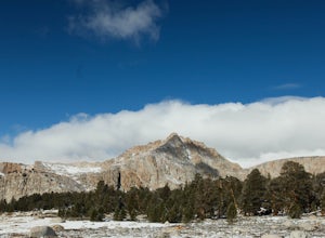
Backpack Mount Langley
5.021 mi / 4000 ft gainMt. Langley sits four hours north of Los Angeles and is one of the easier 14ers to bag in California. Mt. Whitney absorbs most of the foot traffic, so enjoy the relative quiet and seclusion.The trailhead starts at Horseshoe Meadows/Cottonwood Lakes Trailhead Campgrounds and meanders for 7.5 miles...Read more -
Death Valley, California
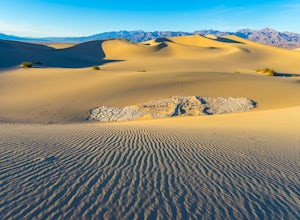
Photographing the Mesquite Flat Sand Dunes
4.9The Mesquite Flat Sand Dunes are the most photographed dunes at Death Valley National Park. To reach the dune’s parking lot from Furnace Creek, drive 22 miles west on Highway 190. Three miles before you reach Stovepipe Wells, the dunes will be clearly visible from the road and you’ll turn right i...Read more -
Death Valley, California
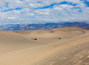
Sandboarding the Mesquite Sand Dunes
3.0Snow level is a little lacking this year? No time or money to fly out to Park City or Whistler? Head over to Death Valley, America's second largest National Park and give sand boarding a try while exploring this amazing park. It's a unique and adrenaline filled activity with one of the most beaut...Read more -
Lone Pine, California
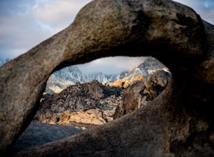
Explore The Heart Arch
A small heart shaped arch naturally formed in the bounders at The Alabama Hills, at the foothills of the Sierras. The Alabama Hills are formation of rounded rocks near the eastern Slope of the Sierra Nevada in the Owens Valley. It is a popular filming location for movie and television show produ...Read more -
Inyo County, California
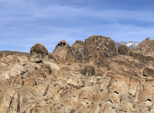
Camp in the Alabama Hills
4.8The Alabama Hills Recreation Area is a area owned by BLM and open to the public. Camping is free and you can say for a max of 14 days.The are has 100+ open desert sites that are shadowed by some of the tallest peaks in the Sierra Nevada range. And if that wasn't enough, the area was the backdrop ...Read more -
Inyo, California
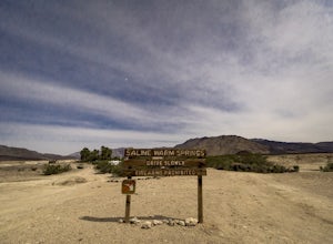
Relax at the Saline Warm Springs
5.0Starting from Panamint Springs, you can top off your gas levels (Stovepipe Wells is cheaper), and continue west on the 190 until you hit the Saline Valley Alt Route. It begins as a well maintained dirt road, but worsens as you continue into the valley. Take your time down the 45 mile road and bew...Read more -
Inyo County, California
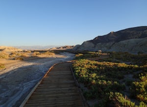
Hike the Salt Creek Interpretive Trail
5.00.9 mi / 26 ft gainThe trail is a loop boardwalk. At the furthest point, there is a sandy footpath that will lead you to a creek and will provide a more secluded experience. Interpretive signs have been placed strategically on the trail, pointing out species of interest. The endangered pupfish is found in this cree...Read more -
Inyo County, California
Meysan Lakes Trail
9.23 mi / 3724 ft gainMeysan Lakes Trail is located on the ever popular Whitney Portal Road. Park on the side of the road next to the Whitney Portal Campground. Start the hike by cutting through the campground, and passing some seasonal cabin style residences. Follow the Meysan Lakes Trail signs. The trail cuts throu...Read more -
San Bernardino County, California
Trona Pinnacles OHV Route
12.07 mi / 344 ft gainTrona Pinnacles OHV Route is an out-and-back trail that provides a good opportunity to see wildlife located near Trona, California.Read more -
Inyo County, California
Texas Spring Campground
This is one of the best campgrounds in Death Valley that gives you the true experience of camping in the middle of a desert. The campground is surrounded with badlands and hills where you can climb to explore and see a panoramic view of mountains all around. Texas Spring campground offers 92 sit...Read more -
Inyo County, California
Devil's Golf Course, Death Valley
4.02.54 mi / 115 ft gainIt is said that "only the devil could play golf on such rough links." Just off Badwater Road you will find an immense field of eroded rock salt that bore small jagged spires in the Earth. What was once Lake Manly is now a surreal sight - one that makes you wonder what planet you are on. Devil's G...Read more

