Darwin, California
The best Trails and Outdoor Activities in Darwin, California offer a range of outdoor adventures. The top pick is the Darwin Falls trail, a must-visit for its unique desert waterfall. This 2-mile round trip is moderately challenging with uneven terrain and rock scrambling. It offers scenic views of the waterfall and lush vegetation, a stark contrast to the surrounding desert. Another popular trail is the China Garden Spring trail, known for its historic mining sites and rock formations. For those interested in bird-watching, the Coso Range Wilderness area is a great choice with its diverse bird species. Near Darwin, the Death Valley National Park offers a range of activities including hiking, camping, and star gazing. It's home to the famous Badwater Basin, the lowest point in North America. All these places offer the best of Darwin's outdoor attractions.
Top Spots in and near Darwin
-
Death Valley, California
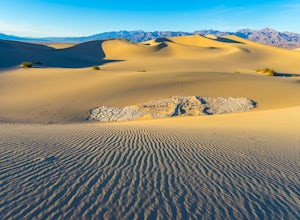
Photographing the Mesquite Flat Sand Dunes
4.9The Mesquite Flat Sand Dunes are the most photographed dunes at Death Valley National Park. To reach the dune’s parking lot from Furnace Creek, drive 22 miles west on Highway 190. Three miles before you reach Stovepipe Wells, the dunes will be clearly visible from the road and you’ll turn right i...Read more -
Death Valley, California
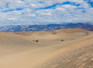
Sandboarding the Mesquite Sand Dunes
3.0Snow level is a little lacking this year? No time or money to fly out to Park City or Whistler? Head over to Death Valley, America's second largest National Park and give sand boarding a try while exploring this amazing park. It's a unique and adrenaline filled activity with one of the most beaut...Read more -
Lone Pine, California
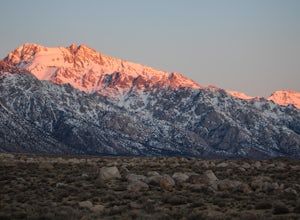
Camp at Tuttle Creek Campground
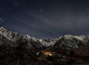
4.5Tuttle Creek Campground is a beautiful place to camp during any time of year. The campground offers uninterrupted breath taking views of the entire Eastern Sierra Nevada and Owens Valleys. Whether you are looking for a place to crash for the night while traveling down the 395, rock climbing in th...Read more -
Lone Pine, California
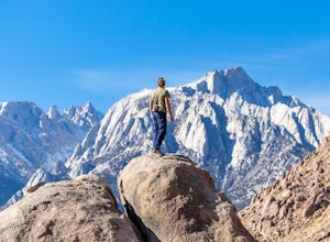
Rock Climb the Candy Store
The Candy Store is a group of boulders and small spires with around 30 climbing routes ranging from 5.6 to 5.11. The majority are trad routes with a significant portion toprope and a couple of sport. The major features/boulders are: First BoulderThe GumdropLollipop BoulderRock Candy TowerSecond B...Read more -
Lone Pine, California
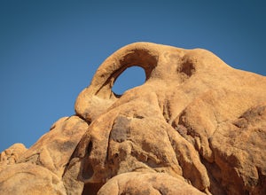
Photograph Eye of the Alabama Hills Arch
3.50.4 miThe Eye of the Alabama Hills Arch is a quick hike or drive from the popular Mobius Arch just off Movie Flat Road. The rocks around the arch offer outstanding views of the surrounding Alabama Hills and Sierra Mountains. To get to the arch follow the directions for Mobius Arch which is a great firs...Read more -
Lone Pine, California
Explore The Heart Arch
A small heart shaped arch naturally formed in the bounders at The Alabama Hills, at the foothills of the Sierras. The Alabama Hills are formation of rounded rocks near the eastern Slope of the Sierra Nevada in the Owens Valley. It is a popular filming location for movie and television show produ...Read more -
The Mobius Arch Loop Trailhead, California
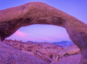
Mobius Arch Loop
4.40.63 mi / 46 ft gainThe Alabama Hills area of Lone Pine, CA is located on the eastern side of the Sierra Nevadas. As you drive along Movie Flat Road you will be surrounded by a sea of golden brown boulders of varying shapes and sizes extending in every direction. The main attraction in Alabama Hills is definitely th...Read more -
Inyo County, California
Camp in the Alabama Hills
4.8The Alabama Hills Recreation Area is a area owned by BLM and open to the public. Camping is free and you can say for a max of 14 days.The are has 100+ open desert sites that are shadowed by some of the tallest peaks in the Sierra Nevada range. And if that wasn't enough, the area was the backdrop ...Read more -
Lone Pine, California
Hike to The Tuttle Creek Ashram
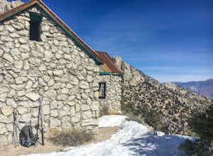
4.33 mi / 1500 ft gainThe Tuttle Creek Ashram is an abandoned stone building, "church" or place of enlightenment tucked away in the beautiful Eastern Sierra. Sitting at an elevation around 8000 feet, construction on the beautiful building was first started in 1928. The building took 20 years of hard manual labor to fi...Read more -
Inyo, California
Relax at the Saline Warm Springs
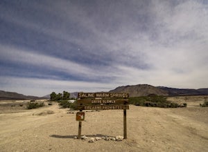
5.0Starting from Panamint Springs, you can top off your gas levels (Stovepipe Wells is cheaper), and continue west on the 190 until you hit the Saline Valley Alt Route. It begins as a well maintained dirt road, but worsens as you continue into the valley. Take your time down the 45 mile road and bew...Read more -
Inyo County, California
Camp at Lone Pine Campground
4.0The Lone Pine Campground is located 6 miles west of Lone Pine California, and 7 miles east of Mt Whitney Portal. The campsite is nestled next to Lone Pine Creek, which is the perfect place to fish for Sierra Nevada trout. The campground sits at 6,000 feet and in clear view of Mt. Whitney, the hig...Read more -
Inyo County, California
Hike the Salt Creek Interpretive Trail
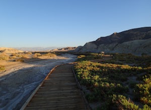
5.00.9 mi / 26 ft gainThe trail is a loop boardwalk. At the furthest point, there is a sandy footpath that will lead you to a creek and will provide a more secluded experience. Interpretive signs have been placed strategically on the trail, pointing out species of interest. The endangered pupfish is found in this cree...Read more -
Inyo County, California
Meysan Lakes Trail
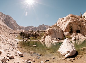
9.23 mi / 3724 ft gainMeysan Lakes Trail is located on the ever popular Whitney Portal Road. Park on the side of the road next to the Whitney Portal Campground. Start the hike by cutting through the campground, and passing some seasonal cabin style residences. Follow the Meysan Lakes Trail signs. The trail cuts throu...Read more -
Inyo County, California
Green & Camp Lakes via Meysan Lakes
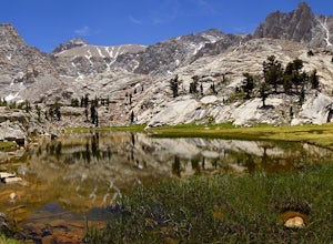
5.08.16 mi / 3248 ft gainGreen Lake via Meysan Lakes Trail is hiked from mid-June to end of September most seasons. Once the snow starts to fall, the road to the trailhead will be closed. A permit is require for overnight. You can obtain the permits online or at the ranger station in Lone Pine. Book online if you plan on...Read more -
San Bernardino County, California
Night Photography on the Road to Trona
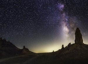
5.0The town of Trona is very small but the landscape here is definitely one you shouldn't miss out on seeing. These crazy tufa formations were formed underwater before Searles Lake dried up many years ago. Amazingly, they are still standing tall! Very tall in fact, you can see how they've dwarfed my...Read more -
San Bernardino County, California
Trona Pinnacles OHV Route
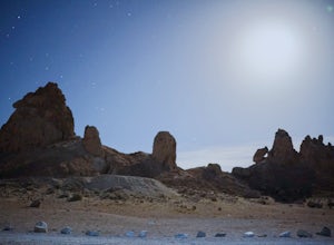
12.07 mi / 344 ft gainTrona Pinnacles OHV Route is an out-and-back trail that provides a good opportunity to see wildlife located near Trona, California.Read more

