Darwin, California
Looking for the best hiking in Darwin? We've got you covered with the top trails, trips, hiking, backpacking, camping and more around Darwin. The detailed guides, photos, and reviews are all submitted by the Outbound community.
Top Hiking Spots in and near Darwin
-
Inyo County, California
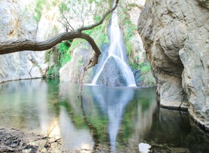
Hike to Darwin Falls
5.02 mi / 275 ft gainYes, you saw this right, it's a waterfall in Death Valley. This magical oasis has water flowing year round and is found in the driest place in North America. Death Valley is full of amazing places, but this should be on everyone's to-do list! It's a short hike that quickly rewards you with a plac...Read more -
Darwin, California
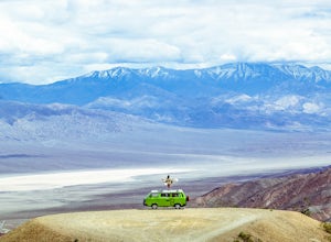
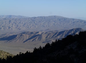
Photograph Panamint Valley from Father Crowley Overlook
0.5 mi / 150 ft gainFather Crowley Overlook is an easily missed overlook on the western edge of Death Valley National Park off State Highway 190 overlooking Panamint Valley. It is easy to miss because the parking area doesn't appear to have a particularly notable vista, but leading off from the parking area to the s...Read more -
Inyo County, California
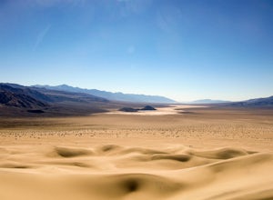
Panamint Dunes
5.07.23 mi / 935 ft gainYou can do this as a day trip and just wander the dunes, but I really enjoyed the overnight with great evening views, amazing stargazing, and a sunrise exploration of the sand dunes. For an overnight trip I recommend you start hiking later in the day, when the temperature is a bit cooler. If you...Read more -
Inyo County, California
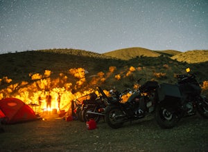
Camp at Death Valley's Wildrose Campground
There is a ton to see here, exploring Death Valley is the perfect way to spend a weekend away. We decided to explore it with a group of friends on motorcycles but a car will do just fine too.Death Valley is located in Eastern California's Mojave Desert. From LA, take highway 395 and meet up with ...Read more -
Inyo County, California
Hike the Hummingbird Spring Trail
2 mi / 850 ft gainThis hike was amazing to me. This trail in not listed on any park service map. If you have the Death Valley National Geographic Map, there is a trail noted at the base of Pinon Mesa (which is not really a mesa so don't look for it) that leads to Hummingbird Spring. Since there was a noted trail ...Read more -
Inyo County, California
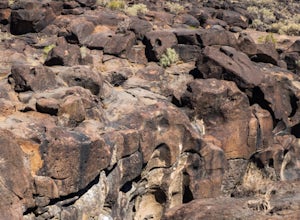
Fossil Falls Trail
4.30.58 mi / 43 ft gainFossil Falls is located east of Highway 395, a few miles south of Coso Junction, 45 min north of Ridgecrest. There is Bureau of Land Management sign pointing the way, but it is small, faded, and easy to miss, so be on the lookout. After about a mile drive on a marked dirt road, you'll reach the ...Read more -
Inyo County, California
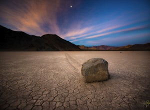
Racetrack Valley
5.0Death Valley National Park is home to some remarkably surreal landscapes, none stranger than Racetrack Valley and its famous moving rocks. For decades, the mechanism of the rocks’ movement was unknown and the subject of much speculation, some scientific and some not, but the mystery was finally ...Read more -
Inyo County, California
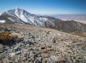
Summit Telescope Peak
12.2 mi / 3258 ft gainThe trail starts at Mahogany Flat campground which can be hiked to from the Charcoal Kilns to the north or more immediately accessible via 4WD on a dirt access road - use caution when driving this road in icy conditions. Once at the Mahogany Flat Campground, the trailhead is towards the south an...Read more -
DEATH VALLEY, California
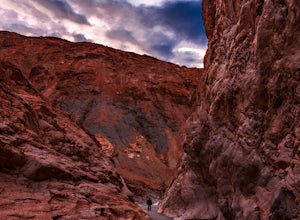
Hike Mosaic Canyon, Death Valley
4.02 mi / 814 ft gainMosaic Canyon is located a quarter mile west of Stovepipe Wells Village. From the 190 Highway, take the 2 mile gravel road to the canyon parking lot. The road is very rough and bumpy, but a regular passenger car will be able to make the drive. A high clearance 4x4 vehicle will not have any proble...Read more -
Inyo County, California
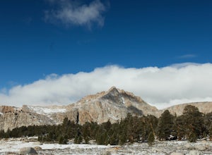
Backpack Mount Langley
5.021 mi / 4000 ft gainMt. Langley sits four hours north of Los Angeles and is one of the easier 14ers to bag in California. Mt. Whitney absorbs most of the foot traffic, so enjoy the relative quiet and seclusion.The trailhead starts at Horseshoe Meadows/Cottonwood Lakes Trailhead Campgrounds and meanders for 7.5 miles...Read more -
Death Valley, California
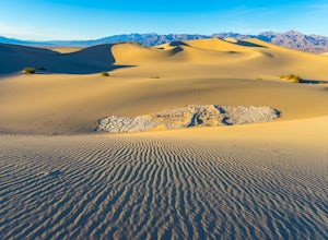
Photographing the Mesquite Flat Sand Dunes
4.9The Mesquite Flat Sand Dunes are the most photographed dunes at Death Valley National Park. To reach the dune’s parking lot from Furnace Creek, drive 22 miles west on Highway 190. Three miles before you reach Stovepipe Wells, the dunes will be clearly visible from the road and you’ll turn right i...Read more -
Lone Pine, California
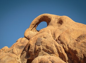
Photograph Eye of the Alabama Hills Arch
3.50.4 miThe Eye of the Alabama Hills Arch is a quick hike or drive from the popular Mobius Arch just off Movie Flat Road. The rocks around the arch offer outstanding views of the surrounding Alabama Hills and Sierra Mountains. To get to the arch follow the directions for Mobius Arch which is a great firs...Read more -
Lone Pine, California
Explore The Heart Arch
A small heart shaped arch naturally formed in the bounders at The Alabama Hills, at the foothills of the Sierras. The Alabama Hills are formation of rounded rocks near the eastern Slope of the Sierra Nevada in the Owens Valley. It is a popular filming location for movie and television show produ...Read more -
The Mobius Arch Loop Trailhead, California
Mobius Arch Loop
4.40.63 mi / 46 ft gainThe Alabama Hills area of Lone Pine, CA is located on the eastern side of the Sierra Nevadas. As you drive along Movie Flat Road you will be surrounded by a sea of golden brown boulders of varying shapes and sizes extending in every direction. The main attraction in Alabama Hills is definitely th...Read more -
Inyo County, California
Camp in the Alabama Hills
4.8The Alabama Hills Recreation Area is a area owned by BLM and open to the public. Camping is free and you can say for a max of 14 days.The are has 100+ open desert sites that are shadowed by some of the tallest peaks in the Sierra Nevada range. And if that wasn't enough, the area was the backdrop ...Read more -
Lone Pine, California
Hike to The Tuttle Creek Ashram
4.33 mi / 1500 ft gainThe Tuttle Creek Ashram is an abandoned stone building, "church" or place of enlightenment tucked away in the beautiful Eastern Sierra. Sitting at an elevation around 8000 feet, construction on the beautiful building was first started in 1928. The building took 20 years of hard manual labor to fi...Read more

