Corte Madera, California
Looking for the best hiking in Corte Madera? We've got you covered with the top trails, trips, hiking, backpacking, camping and more around Corte Madera. The detailed guides, photos, and reviews are all submitted by the Outbound community.
Top Hiking Spots in and near Corte Madera
-
Half Moon Bay, California
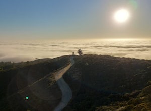
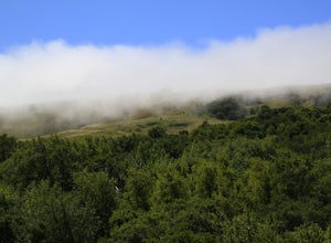
McNee Ranch to Planet of the Apes
4.88 mi / 1427 ft gainMcNee Ranch to Planet of the Apes is a 4.8 mile trail located near Montara State Beach that offers ocean views when it is not too cloudy. You can get amazing views when you hike up above the clouds. This hike follows one of the main trails up the mountain, but there are many smaller trails to e...Read more -
Inverness, California
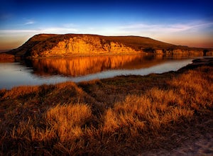
Abbotts Lagoon Trail
4.63.43 mi / 102 ft gainIf you like beaches, headlands, scenic landscapes, wildflowers, and tons of wildlife viewing, you should give this hike a try. Although it only takes about an hour to complete the out-and-back, the vibe surrounding this area is just begging you to slow down and enjoy your natural surroundings. T...Read more -
Inverness, California
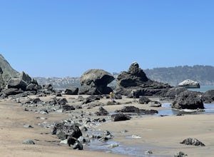
Marshall Beach Trail
5.02.41 mi / 305 ft gainMarshall Beach Trail is an out-and-back trail that provides a good opportunity to see wildlife located near Inverness, California.Read more -
Walnut Creek, California
Sugarloaf Open Space Loop
1.91 mi / 243 ft gainSugarloaf Open Space Loop is an almost 2-mile loop for hiking, running and walking. This trail is relatively easy and takes under one hour to hike. This loop is dog friendly.Read more -
Moraga, California
Bollinger Creek Loop Trail
1.43 mi / 213 ft gainLas Trampas Regional Wilderness offers an extensive trail system for hikers, horseback riders and mountain bikers. The trail is open year round and dogs are allowed. The Las Trampas and Bollinger faults spread apart to reveal a wonderful wilderness area with ancient remnants of beaches. The entir...Read more -
Castro Valley, California
Lake Chabot Regional Park Loop
4.08.65 mi / 1263 ft gainLooking for a fun day on a lake, but don't want to drive too far? We recommend heading out to the East Bay where you can combine a nice hike with an afternoon of fishing. This moderately challenging hike remains scenic throughout the 8.5 mile trek around the lake, and offers many opportunities fo...Read more -
Inverness, California
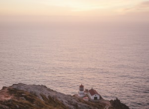
Watch the Sunset at Point Reyes Lighthouse
3.7From San Francisco, drive north over the Golden Gate Bridge and onto the scenic Route One. Plan to spend a full day on the round trip if you're going for the first time; along the drive, you'll most likely want to stop every ten minutes to check out the charming seaside towns or the stunning coas...Read more -
Moss Beach, California
Fitzgerald Marine Reserve
5.00.89 mi / 46 ft gainLocated beside a residential neighborhood, Fitzgerald Marine Reserve offers a rare glimpse of life in the northern California intertidal zones. There are parking spaces and restrooms available, as well as ranger-led guided tours. Be sure to check the tide charts and go during low tide (preferab...Read more -
Moss Beach, California
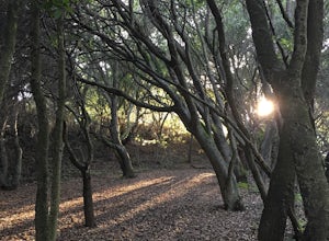
Cypress Tree Tunnels at Moss Beach
4.50.79 mi / 105 ft gainThe Cypress Tree Tunnels are a quick jaunt from San Francisco (22 miles) and make for a great half-day trip. Getting here depends on traffic, but 30 minutes from the center of the city is doable. Parking is relatively easy. You can either park at the south end of the area at the Cypress Cove entr...Read more -
Napa, California
Westwood Hills Park Loop
4.02.12 mi / 476 ft gainThis park can get a little crowded on weekends, so best to go early if possible. In terms of parking, there's a lot at the trailhead, but also plenty of available street parking. The loop can be broken up in a various ways as there are several offshoots from the main trailhead/trail leaving fro...Read more -
Moss Beach, California
Pillar Point Bluff Loop
4.71.84 mi / 154 ft gainSitting on a 140 acre bluff top, the Pillar Point Bluffs are a simple, easy hike with breathtaking views throughout. The bluffs are 22 miles from San Francisco – a 30 minute drive depending on the traffic. There is a small 10 car or so parking lot off of Airport Blvd, but there are two additional...Read more -
San Mateo County, California
Run Sawyer Camp Trail
5.012 mi / 300 ft gainThe Sawyer Camp Trail is a popular paved trail that stretches alongside the Crystal Springs Reservoir all the way to Hillcrest Blvd. The sixth mile crosses over the San Andreas Dam with nice views of San Andreas Lake.There are markers every half mile which makes timing and tracking your run easy....Read more -
Napa, California
Lake Marie Road, Marie Creek, Buckeye Trail Loop
3.55.8 mi / 961 ft gainEnter the parking lot just off of Hwy 221. Plan to pay a $5 entrance fee at the kiosk. The trail head begins at the edge of the parking lot where you'll soon be passing by the Martha Walker Native Habitat Garden on your right. Veer left to continue along Lake Marie Road where you'll enter the blu...Read more -
Walnut Creek, California
Southern Lime Ridge Loop
4.05.57 mi / 1089 ft gainThe Southern Lime Ridge Loop is a trail system located near Walnut Creek, CA. There is a parking lot at the trailhead located across the street from the Boundary Oak Golf Course. The trail is fairly exposed with limited shade, so bring appropriate sun protection especially on the warmer days. D...Read more -
Walnut Creek, California
Castle Rock Trail
5.06.06 mi / 971 ft gainLocated near Walnut Creek, the trail is easily accessible from anywhere in the Bay Area. The trail is kept open year-round, and happens to be part of the American Discovery Trail and the Coast to Crest trail. If you are not done hiking, connecting trails allow you to summit Mt. Diablo. This tra...Read more -
Walnut Creek, California
Run the Mt. Diablo Foothill Loop
5.06.2 mi / 875 ft gainContinue by car down Castle Rock Road until it dead ends at the beginning of the trail. Parking is usually easy to find. If full, there is another overflow lot about 500 ft back the way you came in.You'll walk a good half mile down the trail before getting the main gate. As you're walking, you'll...Read more

