Coleville, California
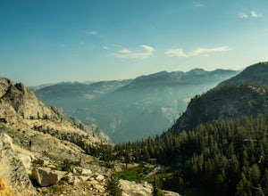
Top on the list of the best trails and outdoor activities in Coleville, California is the scenic Leavitt Meadows Trailhead. This trail offers a moderate difficulty level, making it suitable for both beginners and seasoned hikers. It features the West Walker River, where visitors can enjoy fishing and picnicking. The trail also passes by Roosevelt and Lane Lakes, offering stunning views and opportunities for bird watching. For a more challenging hike, the nearby Sonora Pass provides a steep trail with unique rock formations and sweeping views of the Sierra Nevada mountains. These must-visit outdoor adventures in and near Coleville are perfect for those seeking a mix of relaxation and physical activity.
Top Spots in and near Coleville
-
Tuolumne County, California
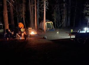
Camp at Tuolumne Meadows Campground
5.0Tuolumne Meadows is on Tioga road northeast of Yosemite Valley, at elevation 8,600 feet. Sites are available July-September at $26. Dogs are allowed but be sure to pack the leash! More info: https://www.nps.gov/yose/plany...Read more -
Tuolumne County, California
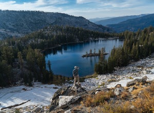
Backpack to Nelson Lake
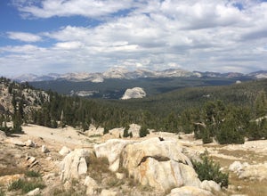
17 mi / 1000 ft gainHead to any Yosemite wilderness station for a map, bear canister, and permit for Nelson Lake. The trail itself starts in the Tuolumne Campground at Elizabeth Lake trailhead. Follow the trail 2.2 miles up to Elizabeth Lake and remember the lake itself is in a no-camping zone, so you must continue ...Read more -
Tuolumne County, California
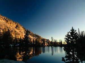
Photograph Dana Fork
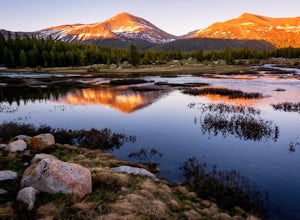
Yosemite is filled with some amazing views but rarely do you get to experience these views by yourself. This hidden treasure is located off of Tioga Pass, is near some of Yosemite’s most popular hikes, and offers an outstanding sunrise and sunset views without the crowds. Located 2.5 miles Sout...Read more -
Carson City, Nevada
Goni Canyon Preservation League Walking Trail
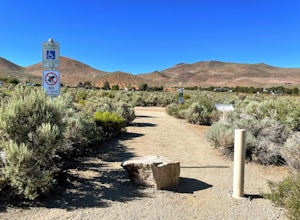
3.01 mi / 95 ft gainGoni Canyon Preservation League Walking Trail is a loop trail where you may see beautiful wildflowers located near Carson City, Nevada.Read more -
Lee Vining, California
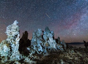
Explore the Mono Lake Tufas under the Milky Way
5.0This past spring, I got the urge to photograph the Milky Way over the other-worldly landscape of Mono Lake, a large, desert saline lake at the edge of the eastern Sierras in California. One of the the lake's defining features is it’s incredible tufa rock formations, a variety of limestone. The e...Read more -
Tuolumne County, California
Backpack Grand Canyon of the Tuolumne
5.048.29 mi / 10610 ft gainThis is a rugged overnight backpack into the North country of Yosemite dropping in from Tuolumne Meadows into the Grand Canyon of the Tuolumne. The trail begins at an elevation just under 9,000' and drops to a low elevation of 4,500' almost 19 miles later at Pate Valley. Coming up out of Pate Val...Read more -
Lee Vining, California
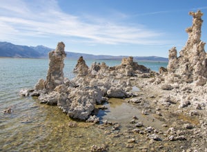
Mono Lake's South Tufa Loop
4.40.91 mi / 39 ft gainMono Lake is was formed at least 760,000 years ago, making it one of North America's oldest lake. Explore the coastline of this unique lake filled with unusual rock formations called tufas. Photograph the tufa towers with the majestic mountains in the background. The towers can make for some very...Read more -
Carson City, Nevada
Secret Harbor / Whale Beach
4.01.67 mi / 384 ft gainSecret Harbor / Whale Beach is an out-and-back trail that takes you by a lake located near Carson City, Nevada.Read more -
Tuolumne County, California
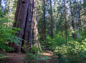
Hike the South Grove Trail in Big Trees SP
3.75 mi / 560 ft gainThe South Grove Trail of Calaveras Big Trees State Park sees far less traffic than the North Grove due to its increased mileage and distance from the park entrance. The trail starts at the South Grove Trail head which is located nine miles east of the entrance on the main park road. The trailhead...Read more -
Carson City, Nevada
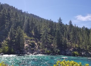
Hike to Secret Cove
5.00.9 mi / 209 ft gainTake a short little hike down from HWY 28 to Secret Cove to relax on the beach on sunbathe on rocks. The water is incredibly clear and has different shades of turquoise. There are many rocks to climb on and the water is great for swimming. It gets crowded early, and is a nude beach, so plan accor...Read more -
Lee Vining, California
Hike Panum Crater Trail
3.3 mi / 874 ft gainIf you are visiting Mono Lake, the Panum Crater Trail is not to be missed! From 395, take highway 120 east for about 2.5 miles. Look for a small wooden sign for Panum Crater and turn left onto a dirt road. If you reach the turn-off to the South Tufa Area, you have gone too far! After about a mile...Read more -
Tahoma, California
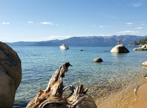
Meeks Bay
4.7Nestled along the southwest shore of Lake Tahoe, Meeks Bay is a great destination offering a blend of outdoor adventure and relaxation. With its crystal-clear waters and sandy beaches, Meeks Bay is great for swimming especially on hot summer days or after hitting the trails. Whether you're see...Read more -
Mariposa County, California
10 Lakes Basin in Yosemite
5.013.38 mi / 2200 ft gainBeginning at the Ten Lakes trailhead, the trail to the lakes is a moderately strenuous uphill grind to Ten Lakes pass, followed by a quick downhill into the lake basin. We met a woman at the top who made sure we didn’t miss the short side trail to a vista point on the pass that offered a sweeping...Read more -
Mariposa County, California
Grant Lake via Ten Lakes Trailhead
4.012.24 mi / 2000 ft gainThe trail begins at the Ten Lakes trailhead (7600 ft) right beside Yosemite Creek. The first 4 miles start you on the ascent through the wooded forest, however there are portions of the trail that will take you through granite rock valleys marked with only cairns so keep your eyes peeled througho...Read more -
South Lake Tahoe, California
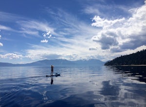
Paddle from Meeks Bay to D.L. Bliss
The water at Meeks Bay is perfectly crystal clear, a mix of different blues and greens – you can see the bottom floor in most places. Hug the buoy line to have a clear view to the lake's bottom, or cruise the dark blue waters where the lake falls off from 20ft deep to some of its deepest levels o...Read more -
Mariposa County, California
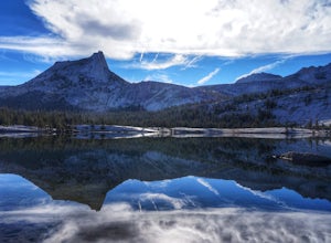
John Muir Trail: Camping at Lower Cathedral Lake
5.0Make the .75 miles detour off of the John Muir Trail to reach this spot and you won't regret it. Lower Cathedral Lake is typically less populated than nearby Upper Lake and has some of the mot beautiful scenery on the JMT. Sunrise and sunset with the reflection of Cathedral Peak on the glassy wat...Read more

