Burlingame, California
Looking for the best chillin in Burlingame? We've got you covered with the top trails, trips, hiking, backpacking, camping and more around Burlingame. The detailed guides, photos, and reviews are all submitted by the Outbound community.
Top Chillin Spots in and near Burlingame
-
Mill Valley, California
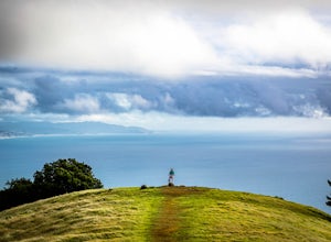
Trojan Point
4.50.25 mi / 75 ft gainThe endlessly scenic Trojan Point can be reached by taking the Panoramic Highway to Pantoll road from Stinson Beach to the west, or Mill Valley / Highway 1 to the east. It can also be reached by taking West Ridgecrest Boulevard from the north from the Fairfax-Bolinas road. Park at the large par...Read more -
Marin County, California
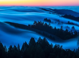
Picturesque Views from Mt. Tam's East Ridge
5.0This road provides one of the most scenic views of the pacific from north of the Golden Gate. It's a little bit of a windy drive or ride along Highway 1 or Panoramic Highway (depending on which way you choose) to get to East Ridgecrest. But, if you remembered to pack a picnic, brought your friend...Read more -
Pescadero, California
Hike the Canyon Rim Route in Butano State Park
5.011.7 miLocated deep within the Santa Cruz Mountains, Butano State Park boasts a large redwood canyon with many miles of hiking trails as well as campsites. This state park is one of the quietest and least visited parks on the peninsula making a perfect place to escape the hustle of the Bay Area Butano S...Read more -
Stinson Beach, California
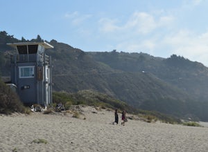
Relax at Stinson Beach
4.3Stinson beach is a popular destination for Bay Area residents and tourists alike. Located just 20 miles north of San Francisco, it is a 30-40 min drive away from the Golden Gate Bridge (it's a one-lane windy road once you're on HWY 1). It is also a popular stop when hiking the nearby Mount Tama...Read more -
Stinson Beach, California
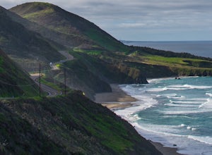
Cruising Pacific Coast Highway in Northern California
4.8Start your drive on US Highway 1 aka Pacific Coast Highway just North of San Francisco. The drive will take about 1 -2 days so plan on overnighting somewhere. Hotels are scarce in the unpopulated areas but there all lots of Cabin rentals throughout and several campgrounds around. Just make sure y...Read more -
Stinson Beach, California
Bouldering & BBQ at Stinson
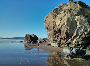
4.5Stinson offers up a great beach day with a few activities for everyone to enjoy. If you head toward the south end of the beach, you'll come across a few boulder problems, including the 2 most popular: Are You Experienced and The Old Man. Are You Experienced is the smaller of these 2 boulders, but...Read more -
Walnut Creek, California
Sugarloaf Open Space Loop
1.91 mi / 243 ft gainSugarloaf Open Space Loop is an almost 2-mile loop for hiking, running and walking. This trail is relatively easy and takes under one hour to hike. This loop is dog friendly.Read more -
Pescadero, California
Explore the Pidgeon Point Lighthouse
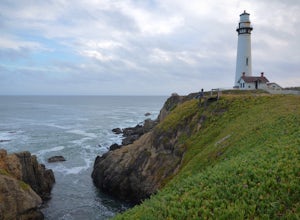
5.0Pidgeon Point Lighthouse is conveniently located just 50 miles south of San Francisco. Constructed in 1872 and standing at 115 feet, it is among the tallest lighthouse in America.Part of the state park system, it is surprisingly secluded. Numerous parking space were available in the lot with hand...Read more -
Pescadero, California
Exploring Big Sur to Pigeon Point
We started off in Big Sur and took as many pull-off viewpoints as possible between Big Sur and the final destination, Pigeon Point Lighthouse. The weather was foggy in some spots but would open up to reveal the vast Pacific Ocean and sun in others. The weather was mild for us but we're familiar w...Read more -
Richmond, California
Explore Point Pinole Shoreline
5.0Point Pinole Regional Shoreline is a 2,315-acre parkland that juts out into the San Pablo Bay. Only a brief car ride from San Francisco, this is a great spot for a Sunday stroll, picnic or simply to find a quiet space.There are several short trails to choose from that wind through eucalyptus grov...Read more -
Walnut Creek, California
Castle Rock Trail
5.06.06 mi / 971 ft gainLocated near Walnut Creek, the trail is easily accessible from anywhere in the Bay Area. The trail is kept open year-round, and happens to be part of the American Discovery Trail and the Coast to Crest trail. If you are not done hiking, connecting trails allow you to summit Mt. Diablo. This tra...Read more -
Pescadero, United States
Relax at Costanoa Lodge
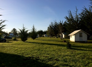
3.0Looking for a quick escape from the city, but sleeping on the ground isn’t really your thing? Look no further than Costanoa Lodge in Pescadero, an upscale "glamping" experience just an hour south of San Francisco with tons of hiking options. This is a really fun option for anyone who enjoys being...Read more -
Walnut Creek, California
Camp at Juniper Campground in Mount Diablo SP
Mount Diablo's summit in Mount Diablo State Park rises to 3,848ft, with Juniper Campground in Mount Diablo SP is at approximately 3,000ft in elevation. Juniper Campground overlooks the valley below and some of the San Francisco Bay. Reservations for Juniper Campground can be made at Reserveamer...Read more -
Pescadero, California
Pick Berries at Swanton's Berry Farm
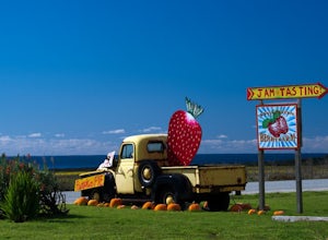
Take a spectacularly scenic drive or bike ride out to this quaint coastal berry farm. Look out onto the shimmering ocean while you pick the ripest and sweetest berries yourself. Head inside their shop to enjoy pre-made jams, pies, chocolate covered strawberries, and so much more. While you're ins...Read more -
Clayton, California
Hike the Waterfalls of Mount Diablo Loop Trail
5.06 mi / 1627 ft gainWinter and spring rains create scenic waterfalls in this hike at Mount Diablo, the East Bay's signature peak. Be careful hiking immediately post-rain, watch for slippery sections of mud. The trail is moderately difficult and is used by hikers, walking groups, trail runners, and for nature trips. ...Read more -
San Geronimo, California
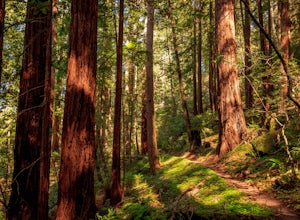
Roys Redwood Preserve Loop
5.02.37 mi / 430 ft gainRoy's Redwoods Preserve is an easily missed pocket of Redwoods off Nicasio Valley Road in Marin County. Don't miss it: heading North on Sir Francis Drake Blvd turn right onto Nicasio Valley Rd--the gate for this little park is about a half mile up on the right. From the main entrance you enter a ...Read more

