Big Creek, California
Looking for the best hiking in Big Creek? We've got you covered with the top trails, trips, hiking, backpacking, camping and more around Big Creek. The detailed guides, photos, and reviews are all submitted by the Outbound community.
Top Hiking Spots in and near Big Creek
-
Mammoth Lakes, California
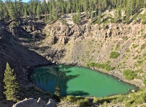
Inyo Craters Trail
4.01.51 mi / 253 ft gainInyo Craters Trail is a loop trail that is good for all skill levels located near Mammoth Lakes, California.Read more -
Bishop, California
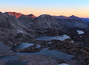
Evolution Basin via South Lake
35.66 mi / 7769 ft gainIt’s been called the crown jewel of the Sierra Nevada, the highlight of the entire 211-mile John Muir Trail. Whatever superlatives are used to describe it, Evolution Basin is undoubtedly one of the most incredible landscapes you’ll ever explore. There is a small catch, though: There is no easy ...Read more -
Bishop, California
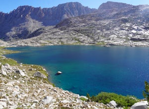
Bishop Pass Trail
5.011.13 mi / 2165 ft gainTo get to the hike drive twenty miles west from the town of Bishop, California up Hwy 168 to South Lake. There are two parking lots but make sure to get there early because later in the day it's harder to get a spot. The trail starts from South Lake at an an elevation of 9,750 feet. Initially ...Read more -
Bishop, California
Treasure Lakes Trail
5.05.79 mi / 1375 ft gainThe Treasure Lakes Trail is dog and kid friendly, just make sure all parties can handle the elevation gain. The scenery throughout the entire hike is amazing, and early in the summer, the creeks roar. The lake is perfect for cooling off on a hot summer day. The trail is best used in the summer an...Read more -
Bishop, California
Bishop Pass Trail to John Muir Trail to Piute Trail
52.67 mi / 9173 ft gainBishop Pass Trail to John Muir Trail to Piute Trail is a point-to-point trail that takes you by a lake located near Bishop, California.Read more -
Bishop, California
Long Lake via Bishop Pass
5.51 mi / 991 ft gainDirections The trailhead for Long Lake starts by South Lake outside Bishop, CA. You'll want to take Line Street, which is the 168, West out of Bishop. Approximately 14 miles up, you'll want to merge left towards South Lake. This junction is well-signed if you keep an eye out for it. Head th...Read more -
Bishop, California
Climb Columbine Peak's NE Ridge
15 mi / 5000 ft gainDirections This Bishop Pass Trail starts by South Lake outside Bishop, CA. You'll want to take Line Street, which is the 168, West out of Bishop. Approximately 14 miles up, you'll want to merge left towards South Lake. This junction is well-signed if you keep an eye out for it. Head the rest ...Read more -
Tulare County, California
Hike the Sugar Bowl Loop in Kings Canyon NP
4.56.5 mi / 1480 ft gainFirst and foremost, to get to this trailhead you need to drive down a 2-mile, one lane dirt road that is quite steep. It is highly recommended you do this in an AWD or 4WD vehicle, especially since the road can be muddy from snowmelt or after a recent rain. We have a 2WD car but used chains for e...Read more -
Mariposa County, California
Backpack to Lower Ottoway Lake
32 mi / 2400 ft gainThe hike begins at Mono Meadows trailhead along Glacier Point Road, first descending 2.8 steep miles to Illilouette Creek. Above the Illilouette Junction, take in views of the Valley's granite domes before beginning the post-burn forested slog. The trail covers an additional 10 miles of relativel...Read more -
YOSEMITE NATIONAL PARK, California
Dewey Point via McGurk Meadow Trailhead
5.07.51 mi / 300 ft gainBefore you start, be sure to visit the Yosemite Valley Visitor Center and grab an overnight permit. More info on this at nps.gov. This trail meanders through beautiful, dense meadows full of wildlife - watch for bears! When you're not hiking among the wildflowers and babbling brooks, you're enc...Read more -
Tulare County, California
Hike to the Summit of Big Baldy, Kings Canyon National Park
4.55 mi / 650 ft gainThis short and easy trail to the summit of Big Baldy in Kings Canyon National Park is not to be missed if you are in the area.The trail winds through forest and boulders as it climbs the north shoulder of Big Baldy. When you think you have reached the end, and you see people sitting down with the...Read more -
Mammoth Lakes, California
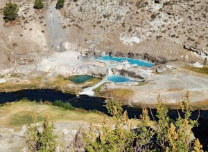
Hot Creek Interpretive Trail
5.00.37 mi / 69 ft gainHot Creek Interpretive Trail is a loop trail that takes you by a hot springs and good for all skill levels located near Mammoth Lakes, California.Read more -
Tulare County, California
Backpack to Weaver Lake, CA
7 mi / 1075 ft gainThe hike to Weaver Lake begins at the Big Meadows trailhead in Sequoia National Forest (elevation: 7,633 ft.). There is roadside parking at the beginning of the trailhead and more parking available just inside the gate. At the trailhead, there is a vault toilet, trash receptacle, and map of the a...Read more -
Yosemite National Park, California
Winter Backpack to Sentinel Dome in Yosemite
5.019.23 mi / 860 ft gainThe goal for our weekend was to do some winter camping in the Yosemite backcountry; we decided on Sentinel Dome as our destination. The trail is a cakewalk during the summer, but winter turns it into a 10 mile uphill grind from the car. Most people opt to head for the ski hut at Glacier Point, bu...Read more -
Yosemite National Park, California
Dewey Point via Badger Pass Ski Area
5.07.36 mi / 761 ft gainTake the one-hour shuttle ride from the Yosemite Lodge to the Yosemite Ski Area, so that you don't have to worry about driving in the snowy conditions, or finding parking. If you don’t own snowshoes, you can easily rent a pair from the rental shop for the day. Current rates are $24.00 for a full ...Read more -
June Lake, California
Hike to Fern Lake
5.03.5 mi / 1500 ft gainLess than 30 minutes north of Mammoth Lakes, the beauty of the region is captured even on the drive to get to the trailhead. No bathrooms at the trailhead, however the town of June Lake is a short bit away. Out of the gate, the trail quickly climbs 850 feet in just less than a mile. The way up, w...Read more

