Benton, California
Looking for the best backpacking in Benton? We've got you covered with the top trails, trips, hiking, backpacking, camping and more around Benton. The detailed guides, photos, and reviews are all submitted by the Outbound community.
Top Backpacking Spots in and near Benton
-
Bishop, California
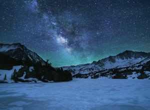
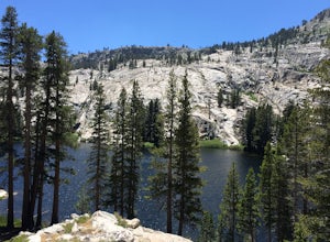
Long Lake via Bishop Pass
5.51 mi / 991 ft gainDirections The trailhead for Long Lake starts by South Lake outside Bishop, CA. You'll want to take Line Street, which is the 168, West out of Bishop. Approximately 14 miles up, you'll want to merge left towards South Lake. This junction is well-signed if you keep an eye out for it. Head th...Read more -
Bishop, California
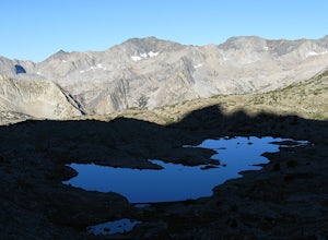
Climb Columbine Peak's NE Ridge
15 mi / 5000 ft gainDirections This Bishop Pass Trail starts by South Lake outside Bishop, CA. You'll want to take Line Street, which is the 168, West out of Bishop. Approximately 14 miles up, you'll want to merge left towards South Lake. This junction is well-signed if you keep an eye out for it. Head the rest ...Read more -
Bishop, California
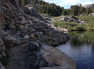
Backpack into the Palisades from Bishop Pass
18 mi / 4000 ft gainDrive up to the trailhead near South Lake from the town of Bishop (you can get directions at the Ranger Station when you get a permit). The hike goes from approximately 9,000 ft. to 13,000 ft. over the course of 9 miles.The first approximately 6 miles are on trail to the top of Bishop Pass. From ...Read more -
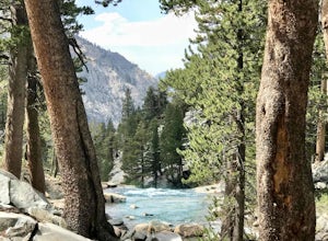
Bishop, California
Bishop Pass Trail to John Muir Trail to Piute Trail
52.67 mi / 9173 ft gainBishop Pass Trail to John Muir Trail to Piute Trail is a point-to-point trail that takes you by a lake located near Bishop, California.Read more -
Bishop, California
Treasure Lakes Trail
5.05.79 mi / 1375 ft gainThe Treasure Lakes Trail is dog and kid friendly, just make sure all parties can handle the elevation gain. The scenery throughout the entire hike is amazing, and early in the summer, the creeks roar. The lake is perfect for cooling off on a hot summer day. The trail is best used in the summer an...Read more -
Bishop, California
Evolution Basin via South Lake
35.66 mi / 7769 ft gainIt’s been called the crown jewel of the Sierra Nevada, the highlight of the entire 211-mile John Muir Trail. Whatever superlatives are used to describe it, Evolution Basin is undoubtedly one of the most incredible landscapes you’ll ever explore. There is a small catch, though: There is no easy ...Read more -
Lee Vining, California
Backpack Virginia Lakes to Green Creek
10.5 mi / 1234 ft gainKeep in mind that this is a point to point hike, so you will need to park a vehicle at Green Creek trailhead in Bridgeport as well as your start point at Virginia Lakes Resort.Starting at 9,886' at The Virginia Lakes Trailhead, you will begin by heading Northwest towards Virginia Pass. During yo...Read more -
Lakeshore, California
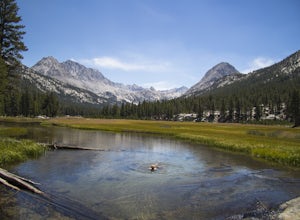
John Muir Trail: McClure Meadows
The transition from mostly sheer granite slopes to open grassy space is a welcomed one. Set up along the creek meandering through Evolution Basin and explore the area. You won't tire your legs out because it's pretty flat. Whip out your camera to catch some amazing reflections of the Sierra in th...Read more -
Lakeshore, California
Evolution Valley via Florence Lake
4.530.36 mi / 3238 ft gainYou can get to the Evolution Basin a variety of ways, but the easiest is through the Florence Lake Trailhead. Here, you can choose to either take the Florence Lake Ferry across the lake, or save $25 and hike the extra 4 miles around the lake. Personally, I would choose the ferry. About five mile...Read more -
Lakeshore, California
Backpack to Crater Lake, Sierra National Forest
8.4 mi / 2100 ft gainStarting at Lake Florence, this hike starts out with a climb up and keeps this up over the next 3 miles. After about 3 miles of climbing you reach another lake, Dutch Lake which provides shade and a nice place to rest. From there it's a relatively flat 1.2 miles in to your destination. Once at Cr...Read more -
37.876736,-119.346085
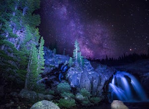
Glen Aulin
4.812.19 mi / 600 ft gainStart your hike to this waterfall oasis in the heart of the sierra at the parking lot for the Tuolumne Meadows Visitor Center. The Glen Aulin High Sierra Camp sits along the beautifully winding Tuolumne River. White Cascade an 80ft waterfall sits at the edge of camp and provides an excellent swim...Read more -
Big Pine, California
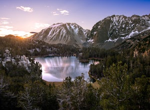
Fourth Lake via Big Pine Creek North Fork Trail
4.012.6 mi / 3205 ft gainFrom Big Pine, you'll turn onto Crocker St. to head towards the mountains. Once you are about 11 miles down the road you will see a sign and a turnoff on the right for trailhead parking. That is where you are going to want to park if you are staying overnight but you can continue to where the roa...Read more -
YOSEMITE NATIONAL PARK, California
Mt. Conness
5.019.03 mi / 5400 ft gainThis trip is best done as a 3 day, 2 night backpacking trip making camp at Young Lakes, however it is possible to do it in a single day long haul. Start at the Lembert Dome Parking Lot and take the trail via the Dog Lake route towards Young Lakes. It's about 7 miles to the upper of the three You...Read more -
YOSEMITE NATIONAL PARK, California
Young Lakes
4.714.14 mi / 1700 ft gainThe Young Lakes trail starts from the Lembert Dome parking area and then winds up around 6 miles into the high country past alpine meadows and stunning views of the surrounding mountains. Lower and Middle Young Lakes are beautiful, but you're going to want to push on to Upper Young Lake, where y...Read more -
YOSEMITE NATIONAL PARK, California
Fletcher Lake and Vogelsang Peak
19.03 mi / 2887 ft gainBefore you head out for the trip, you’ll need to get a wilderness permit. You can get one online from the Yosemite website or pick one up at the Tuolumne Meadows Wilderness Center or from the Wilderness Center in Yosemite Valley. Go to Yosemite and take Highway 120 up to Tuolumne Meadows. You ca...Read more -
Bridgeport, California
Backpack to Green Lake and Virginia Pass
17 mi / 4452 ft gainDay 1 Green Creek Trailhead to Green Lake When we went on this hike, it was primarily to explore the area and see if it would be a feasible entrance to Northern Yosemite for extended backpacking trips. However, it also is a great two night trip to a lovely area of the Hoover Wilderness. Best...Read more

