Alpine Meadows, California
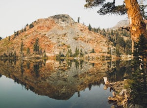
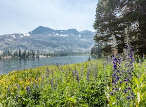
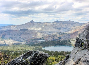
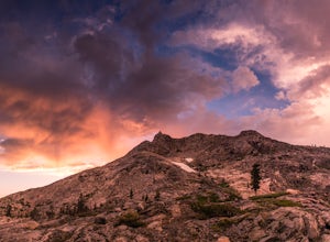
The best Trails and Outdoor Activities in Alpine Meadows, California, are a must-visit for those seeking scenic outdoor adventures. A top choice is the Five Lakes Trail, a moderate 5-mile round trip hike that offers stunning views of granite peaks and five beautiful alpine lakes. This trail is ideal for hiking, backpacking, and bird watching. The Pacific Crest Trail, a long-distance trail extending over 2,650 miles, also passes through Alpine Meadows, offering a more challenging hike with panoramic views of the Sierra Nevada. Another nearby attraction is the Truckee River, perfect for whitewater rafting and fishing. For rock climbing enthusiasts, the Donner Summit is just a short drive away. These outdoor activities make Alpine Meadows a top destination for those seeking adventure and natural beauty.
Top Spots in and near Alpine Meadows
-
New Washoe City, Nevada
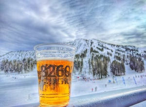
Ski or Snowboard Mt. Rose
5.0The Resort is located about 30 miles (50 km) south of Reno in the Carson Range. Mt. Rose is Tahoe's highest base elevation at about 8,260 ft (2,520 m) and the summit is 9,700 ft (3,000 m). The resort area is 1,200 acres (4.9 km2), and is located in the Toiyabe National Forest.See the resort map h...Read more -
South Lake Tahoe, California
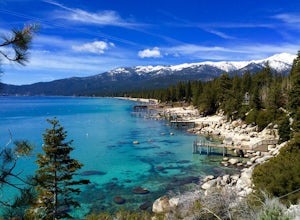
Bike around Lake Tahoe
5.072.2 mi / 4308 ft gainYou'll want to wake up early for this adventure. Be sure to have breakfast and hydrate before you start. I suggest going clockwise around the lake. The elevation hit me. I also went with a group of friends, and what's nice about going in a group though is that you can stop every so often to make...Read more -
Twin Bridges, California
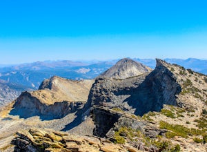
Summit Price & Agassiz from Desolation Wilderness
5.0Mount Price (9,975') is the second highest summit in the Desolation Wilderness, standing just eight feet lower than Pyramid Peak to the south. In between these two peaks stands Mount Agassiz (9,967'), whose overhanging summit resembles a granite wave poised to crash down into the Desolation Vall...Read more -
Stateline, Nevada
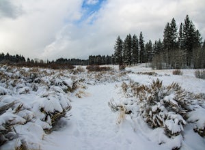
Hike the Lam Watah Trail
5.02.2 mi / 85 ft gainLam Watah Trail is a 2.2 mile out and back hike, that will take you through Lam Watah meadows and ends at Nevada Beach. I did the hike in December and although the best time to do it is May through October, I think it had more charm during the winter time. The trail head begins from the parking ...Read more -
Stateline, Nevada
Stroll through Rabe Meadows
1.5 miRabe Meadows is a tranquil and peaceful stroll next to Burke Creek as it flows to Lake Tahoe and Nevada Beach State Park. Very easy 1.5 mile paved trail. Perfect when there isn't any snow and a short easy hike is in need. Take in the scenery and peacefulness and be happy to be outside.Read more -
Placer County, California
Paddle Lake Valley Reservoir
A perfect adventure spot off Highway 80, Lake Valley Reservoir offers paddlers prime parking and a paved boat launch to push off on a mountain lake with an island for picnicking. Lake speed is 10 mph so fishing boats with outboards are allowed but they have to take it slow. Post launch, head le...Read more -
South Lake Tahoe, California
Bike the Van Sickle Bi-State Park Trail
4.5Starting at the top of Stagecoach Lift on Heavenly Resort this trail wraps around the north slope down to the bottom of town at the casinos. It has amazing view all the way down as you make your way down the woods up top and then cruise through the burn area near the gondola fire down to the bott...Read more -
Zephyr Cove, Nevada
Castle Rock Loop
5.02.84 mi / 630 ft gainThis hike is located near Stateline, Nevada. The trail joins the Tahoe Rim Trail for part of the hike. Be aware that there will be snow on the trail from November - late May, early June depending on snowfall. Bring snowshoes / appropriate boots if you wish to use the trail in the winter. Experien...Read more -
Glenbrook, Nevada
Castle Rock via Tahoe Rim Trail
5.01.79 mi / 407 ft gainCastle Rock via Tahoe Rim Trail (The Bench) is an out-and-back trail that takes you through a nice forest located near Zephyr Cove, Nevada.Read more -
Carson City, Nevada
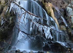
Kings Canyon Falls
4.00.63 mi / 233 ft gain...Living in California, I know all about waterfalls! For me personally though, no matter the shape or size of the waterfall, it has my interest. Now when it comes to Nevada, I honestly can't think of too many waterfalls off the top of my head, but when you're passing through a town that you're u...Read more -
South Lake Tahoe, California
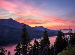
Capture the Sunset at the Angora Ridge Fire Lookout
The Angora Ridge Fire lookout sits above the serene Fallen Leaf Lake with incredible views of Mt. Tallac and Desolation Wilderness. You can hike, bike or drive to the lookout. This is a great spot to photograph the sunset, as the sky will reflect off both Fallen Leaf Lake and Lake Tahoe. Bring a ...Read more -
Tahoma, California
Glen Alpine Falls and Grass Lake
4.85.29 mi / 725 ft gainPark your car at the Glen Alpine Trailhead adjacent to Lily Lake and southwest of Fallen Leaf Lake. Head west on Glen Alpine Creek Trail passing Lily Lake on your left. After a little over a mile and a half of trekking through the alpine forest and taking in mountain views, you'll arrive at Alpin...Read more -
Tahoma, California
Susie Lake, Desolation Wilderness
5.07.96 mi / 1496 ft gainStarting at the Glen Alpine trailhead (best access to Susie Lake): To get to the trailhead, head toward Fallen Leaf Lake in South Lake Tahoe. From HWY 89, turn onto Fallen Leaf Rd and drive past the summer homes and marina until you reach a small firehouse on the left side of the road. You'll fol...Read more -
Tahoma, California
Hike to Half Moon Lake in Desolation Wilderness
5.011 mi / 1600 ft gainThis hike starts at the Glen Alpine Trailhead near Fallen Leaf Lake. Because Desolation is a wilderness area, you are required to fill out a day-use permit which can be found at the trailhead. If you are backpacking make sure to obtain an overnight permit either online or at the Taylor Creek Visi...Read more -
South Lake Tahoe, California
Gilmore Lake in Desolation Wilderness
8.66 mi / 1919 ft gainThe easiest way to get to Gilmore Lake is to start at the Glen Alpine trailhead. The trail head is southwest of Fallen Leaf Lake. There is a decently sized parking lot at the trailhead, but parking is also available on the road up. Because desolation is a wilderness area, you must fill out a perm...Read more -
Kyburz, California
Hike to Twin and Island Lakes
5.07 mi / 1600 ft gainThe Twin Lakes trail starts winding through a pine forest, with a couple bridge crossings over crystal clear trout-filled streams. The marsh-like water is very slow moving, and even though it is indeed beautiful, it is also a prime location for pesky mosquitoes in the summertime. Be sure to loa...Read more

