Alpine County, California
Looking for the best fitness in Alpine County? We've got you covered with the top trails, trips, hiking, backpacking, camping and more around Alpine County. The detailed guides, photos, and reviews are all submitted by the Outbound community.
Top Fitness Spots in and near Alpine County
-
Arnold, California
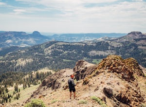
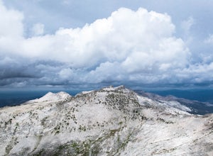
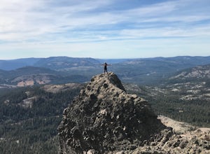
Climb Peep Sight Peak in the Carson-Iceberg Wilderness
7 mi / 1800 ft gainPeep Sight Peak in the Carson-Iceberg Wilderness off Highway 4 provides solitude and wonderful views of the surrounding Sierra Nevada including the Mokelumnee and Emigrant Wildernesses. Even on summer weekends you'll likely have the peak and surrounding area all to yourself. Peep Sight Peak can b...Read more -
Markleeville, California
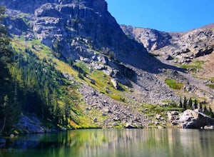
Caples Lake to Emigrant Lake
5.08.71 mi / 971 ft gainThis is an awesome out-and-back hike for the weekend warrior. The trail begins at the western-most point of Caples Lake, and takes you to Emigrant Lake. The first 2/3 of the trail is rather flat and appropriate for all skill levels. The last mile up to the lake schleps up the hill, and has some ...Read more -
Amador County, California
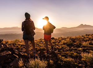
Hike to Thunder Mountain at Carson Pass
7 miThe trailhead begins on Rt 88 just past Kirkwood Resort or Silver Lake - depending on which way you are headed. There is plenty of parking but no other amenities. The trail begins at 7,900 ft and climbs steadily up Two Sentinels then along the ridge to Martins Point, ending at the 9,408ft summit ...Read more -
Echo Lake, California
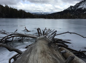
Hike the Echo Lake Trail
4.05 mi / 688 ft gainThe Echo Lakes Trail goes through California's Desolation Wilderness and features incredible views. This trail is rated as moderate, and is best for excited beginners or intermediate hikers. This hike takes roughly 3.5-4 hours. Dogs are allowed on trail if kept on leash. The trail is best used fr...Read more -
Pinecrest, California
Camp at Baker Campground
5.0/ 6224 ft gainBaker Campground is a first come, first serve campground. Each site is equipped with a fire ring, picnic table, and bear boxes. The cost for a single family site is $20 per night and a double family site is $40 per night. The campground provides bathrooms and potable water. The campground is typi...Read more -
Twin Bridges, California
Hike Pyramid Peak via Rocky Canyon
5.07.4 mi / 4100 ft gainPyramid Peak is the tallest peak in the Crystal Range and the Desolation Wilderness, just west of Lake Tahoe. On a clear day it can be seen from the Bay Area over 150 miles away. Named for its distinct shape, Pyramid a massive heap of glaciated granite slabs and talus, and the Rocky Canyon route ...Read more -
South Lake Tahoe, California
Hike the Fallen Leaf Lake Trail
5.08.1 mi / 859 ft gainThe Fallen Leaf Lake Trail is located in South Lake Tahoe, California. It is important to note that there is no trail on the east side of the lake. The trail turns into a paved road when you reach the marina after passing the campground. Additionally, lots of small trails jut out from the main tr...Read more -
South Lake Tahoe, California
Bike around Lake Tahoe
5.072.2 mi / 4308 ft gainYou'll want to wake up early for this adventure. Be sure to have breakfast and hydrate before you start. I suggest going clockwise around the lake. The elevation hit me. I also went with a group of friends, and what's nice about going in a group though is that you can stop every so often to make...Read more -
South Lake Tahoe, California
Swim at Fallen Leaf Lake
4.0Lake Tahoe has so many beautiful and breath-taking places to visit, hike, camp, wander around, etc. and Fallen Leaf Lake is definitely one of them. It's free to visit and park too and it is an easy hike from the parking area to the lake. The lake is very tranquil and serene and for those who wa...Read more -
Mono County, California
Leavitt Lake in Stanislaus National Forest
4.07.44 mi / 1385 ft gainSituated on the eastern edge of Emigrant Wilderness, Leavitt Lake is a great introduction to backpacking in the Sierra Nevada. Leavitt Lake is located at the end of Forest Service Route 077 off of Highway 108. It is actually possible to drive to Leavitt Lake, but a high clearance vehicle is requi...Read more -
South Lake Tahoe, California
Hike to Snow Lake in Desolation Wilderness
5.05 miThis wonderful alpine lake is a relatively short hike in Desolation Wilderness and is a perfect introduction to off trail exploration. This area lacks the crowds that other lakes in Desolation garner because most maps don't show the trail leading to the lake. Although there is a rough trail, the ...Read more -
South Lake Tahoe, California
Camp at Bayview Campground
5.0Bayview is a first come, first serve campground in South Lake Tahoe, halfway between Emerald Bay and Cascade Lake. You can catch an amazing sunrise over Emerald Bay! Large pine trees provide ample shade, and each site is equipped with a picnic table, grill, and bear boxes. Bring plenty of water -...Read more -
Zephyr Cove, Nevada
Castle Rock Loop
5.02.84 mi / 630 ft gainThis hike is located near Stateline, Nevada. The trail joins the Tahoe Rim Trail for part of the hike. Be aware that there will be snow on the trail from November - late May, early June depending on snowfall. Bring snowshoes / appropriate boots if you wish to use the trail in the winter. Experien...Read more -
Glenbrook, Nevada
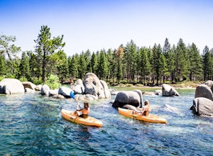
Kayak Zephyr Cove
Zephyr Cove on the eastern shore of Lake Tahoe is a fantastic starting point for a host of water sports and activities and given the protected nature of the cove, a great place for kayaking for both beginners are more advance kayakers. Depending on the time of year and the water level on the nort...Read more -
Glenbrook, Nevada
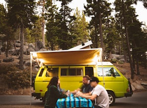
Camp at Zephyr Cove
Zephyr Cove on the eastern shore of Lake Tahoe is a fantastic starting point for a host of water sports and outdoor activities, from wake surfing to backpacking to trail running on the Tahoe Rim Trail. The Zephyr Cove Resort campground has 47 walk-in campsites and 10 drive-in campsites in additio...Read more -
Glenbrook, Nevada
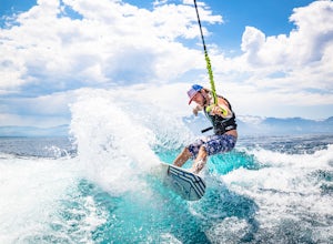
Wake Board Zephyr Cove
Zephyr Cove on the eastern shore of Lake Tahoe is a fantastic starting point for a host of water sports and activities and given the protected nature of the cove, a great place to wake surf and to *learn* to wake surf To get to Zephyr Cove take Highway 50 north for 7 miles out of South Lake Tahoe...Read more

