Aguanga, California
A top choice for outdoor adventures in Aguanga, California is the Pacific Crest Trail. This must-visit hiking trail spans a significant portion of the state, offering scenic views of the diverse California landscape. Hikers can enjoy views of the nearby Lake Riverside and the Cahuilla Creek Casino, both located within Aguanga. The trail is moderately difficult, making it suitable for most hikers. Unique features of the trail include the vast array of rock formations and the opportunity to spot local wildlife. The Pacific Crest Trail is one of the best trails and outdoor activities in Aguanga, California. It's an ideal spot for those seeking to explore the great outdoors and enjoy the natural beauty of the area. Whether you're a seasoned hiker or a beginner, this trail has something to offer everyone.
Top Spots in and near Aguanga
-
San Diego, California
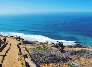
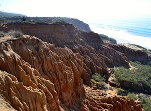
Guy Fleming Trail
5.00.76 mi / 95 ft gainThis trail is located in Torrey Pines State Natural Reserve, a beautiful area about 20-30 minutes north of San Diego. To access the reserve, park in the lot off of North Torrey Pines Road (pay $10 to park). If you don't want to walk up the huge hill at the beginning (it is steep and long), I beli...Read more -
San Diego, California
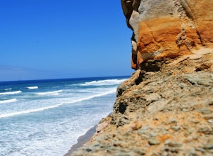
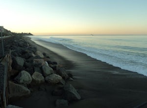
Beach Trail
5.01.43 mi / 259 ft gainI'm stoked for those of you to find this adventure! Torrey Pines is home to a species of tree that is one of the most rare native pines in the United States. Below I have directions on how to get to the trailhead as well as the parking lot to park for the hike. There is a charge to get into the...Read more -
San Diego, California
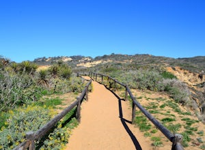
Torrey Pines Beach Trail Loop
4.72.15 mi / 374 ft gainThe beach trail brings you from the parking lot across the lodge from the bluff down to the beach. You can choose to visit the Red Butte, the Razor Point, and the Yucca Point trails along the way. Of the other trails, this trail seems to provide a complete walkthrough of geological features; it a...Read more -
San Diego, California
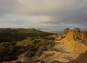
Razor Point, Beach Trail, & Broken Hill Trail Loop
5.03.21 mi / 440 ft gainThe parking area for all of Torrey Pines State Natural Reserve is located right off North Torrey Pines Road (where the location is for this hike), about 20-30 minutes north of San Diego. It's $10 to park, and there was also a smaller parking lot at the top of the hill if you want to avoid the ini...Read more -
San Diego, California
Razor Point Trail
1.32 mi / 240 ft gainRazor Point Trail is an out-and-back trail that takes you past scenic surroundings located near La Jolla, California.Read more -
Santee, California
Kwaay Paay Trail
2.4 mi / 846 ft gainPark your car in the small gravel parking lot at the southwest corner of Father Junipero Serra Trail and Bushy Hill Drive (this is especially important if you plan to take the sunset hike, so you'll be outside the locked park gate when you descend). There will be other hikers parked there, but I'...Read more -
San Clemente, California
San Clemente State Beach
4.54.58 mi / 26 ft gainSan Clemente State Beach is an out-and-back trail that takes past scenic surroundings located near San Clemente, California.Read more -
Santee, California
Oak Canyon in Mission Trails Regional Park
5.03.22 mi / 249 ft gainStarting on Father Junipero Serra Trail, drive 0.7 miles west to the Old Mission Dam parking lot on the left. The park closes the gates at 7pm, so make sure to park early, or plan your hike in such a way that you don't get locked in! If you think you'll need longer, you can park out on the main r...Read more -
Trabuco Canyon, California
Hike the Bellview to Dove Lake Trail
2.5 mi / 75 ft gainThis hike will be about going from the Bellview Trailhead to Dove Lake and back. Note that once you get to Dove Lake there are numerous offshoots that can take you in different directions (you can follow the road into the Dove Canyon housing community, take a paved road back to the Bellview parki...Read more -
Santee, California
Cowles Mountain via Big Rock Trail
4.04.86 mi / 1207 ft gainStarting somewhat near sea-level, Cowles Mountain via the Big Rock Trail climbs about 1000 ft in elevation. This trail is about 5 miles total, out and back. Arrive at Big Rock park which has good parking. At the park you will walk to the left of the tennis courts past the limits (the fence) of...Read more -
San Diego County, California
Hike Garnet Peak Trail
3.02.6 mi / 500 ft gainWhile there are a few trail options, the designated Garnet Peak Trail begins off of Sunrise Highway at Mile Marker 27.8. There is a small pull-off on the east side of the road with a sign denoting the trail. An Adventure Pass is required for parking in this area of Cleveland National Forest.The f...Read more -
Santee, California
Cowles Mountain via Big Rock Road
4.54.32 mi / 1109 ft gainStart by plugging 8125 Arlette St, Santee, CA into your GPS. This takes you to Big Rock Park, a convenient parking spot for the Cowles Hike. From here you want to walk through the park, and around the right side of the tennis court. This will take you to the fenced entrance to the hike. Head sout...Read more -
Santee, California
Crystal Cave
4.00.46 mi / 59 ft gainStarting at 8100 Mesa road, you will see parking along the side of the road in a few places, take advantage where you find it. Pass over the trail gate that marks the start of the journey. This will be a quick trip, as the total distance is less than a mile out and back. Head a quarter mile or ...Read more -
San Diego County, California
Big Laguna Lake Loop
5.05.9 mi / 400 ft gainBig Laguna Lake Loop is a loop trail that takes you by a lake located near Pine Valley, California.Read more -
Forest Falls, California
Summit Mt. San Gorgonio
4.717 mi / 5840 ft gainA hiking permit is required to hike in the San Gorgonio Wilderness. Apply for the permit early as the Vivian Creek Trail is the second most popular trailhead for the area and quotas fill up in advance. The permits are free and the entire process can be handled via fax or mail. All the information...Read more -
San Diego, California
Torrey Pines Gliderport
4.5Park at the Torrey Pines Gliderport and walk to the railing over the cliffs. From there you can see north to Black's Beach and the Torrey Pines golf course. To the south you can see La Jolla Shores and La Jolla cove. Walk the path down to Black's Beach if you want some exercise. There is food and...Read more

