Winslow, Arkansas
Top Spots in and near Winslow
-
Huntsville, Arkansas
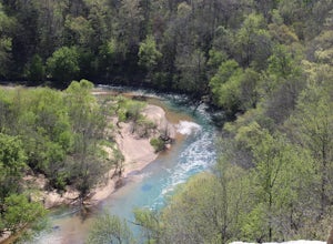
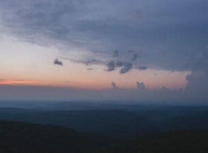
Kings River Overlook
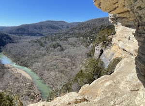
5.01.2 mi / 145 ft gainThis is a great family hike short enough for little ones but with enough features to keep little ones engaged. From the parking area, it's about .6 miles on a relatively flat, well-marked trial to the overlook. (Plenty of room to step off trail for social distancing) We went in April with thre...Read more -
Kingston, Arkansas
Hike to Sweden Creek Falls
4.01.5 miProceed to Sweden Creek Falls Natural Area near Kingston, Arkansas. Find somewhere to park near the gate along the dirt road. The trailhead is located beside the gate. Follow the old jeep path and continue past the old abandoned house on the right. Once the path ends, look for the blue trail m...Read more -
Jefferson Township, Arkansas
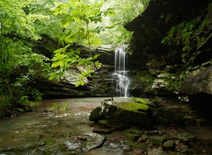
Hike the Glory Hole Falls Trail
4.42 mi / 345 ft gainThis trail and waterfall is located 13.8 miles south of Boxley, AR or 5.7 miles east of Fallsville, AR. The easiest way to get to the trailhead is to locate the Cassville Baptist Church on your GPS system. If you are headed east, the church is 0.7 miles east of the trail. If you are headed west, ...Read more -
Deer, Arkansas
Hike to Magnolia Falls
5.02.5 miThis adventure starts at the parking area that is marked by a Wilderness Area sign. The trailhead is actually the old jeep trail that makes its way through the woods. Follow the jeep trail past a few old campsites and an camping registration box. The trail will cross over a small creek bed and...Read more -
Paris, Arkansas
Mount Magazine Scenic Byway
20.25 mi / 2720 ft gainMount Magazine Scenic Byway is a point-to-point trail that takes you by a waterfall located near Paris, Arkansas.Read more -
Kingston, Arkansas
Hike Big Spring Trail
5.5 mi / 500 ft gainBig Spring Trail is located in Smith Creek Preserve just south of Boxley, Arkansas. There is a small parking area at the entrance. Detailed maps of the area provided by The Nature Conservancy can be found just past gate. Walk through the gate and begin your hike with a steady decline down the s...Read more -
Bella Vista, Arkansas
Kayak Little Sugar Creek
5.0Little Sigar Creek comes out of Bella Vista Lake, this upper section down through the golf courses is great fishing when the water is up. Little Sugar is a hidden gem in the middle of Northwest Arkansas and Southwest Missouri. The section of creek that flows through Missouri is my favorite to kay...Read more -
Kingston, Arkansas
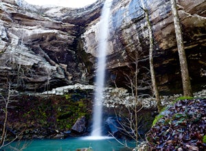
Eden Falls via Lost Valley Trail
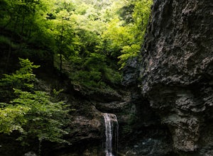
4.92.32 mi / 453 ft gainThis is a beautiful trail that is easily accessible and only a short 3 mile hike. Start at the trailhead on the north end of the parking area. There is a map and some details about the main features of the trail. The first main feature that you come to on the trail is a beautiful bluff with a ...Read more -
Tahlequah, Oklahoma
Kayak the Illinois River
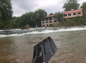
4.0From Tulsa, head out east along US-412 until you reach US-82. Take Exit 6 and go right (south) along US-82 until you reach E Steely Hollow Rd. Turn left and follow E Steely Hollow Rd. until you reach the T-intersection with OK-10. Pull into a parking space at the Illinois River Store and buy a ma...Read more -
Jasper, Arkansas
Paddle the Buffalo National River: Ponca to Kyle's Landing
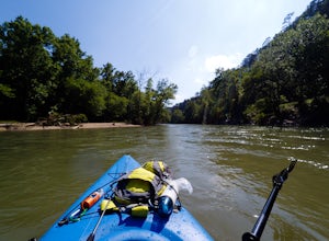
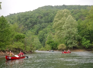
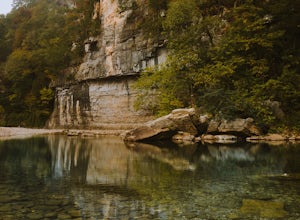
5.010.3 miPut in at the Ponca Bridge, or Steel Creek if the water is too low, for the most scenic float in Arkansas. Paddle surrounded by 3-400 foot bluffs, and through slightly challenging water here and there. Great float for kids as there are plenty of swimming holes.I've done this with my own elementar...Read more -
Jasper, Arkansas
Buffalo River Trail: Ponca to Steel Creek
4.35 mi / 1079 ft gainStart this adventure by crossing the Ponca Low Water Bridge over the beautiful Buffalo National River and proceed up the path till you reach the trail sign on the other side. You have the option of going either right or left at this point, follow the sign to the left and you will see a gate (sim...Read more -
Eureka Springs, Arkansas
Black Bass Lake Trail
4.51.85 mi / 338 ft gainBlack Bass Lake Trail is a loop trail that is good for all skill levels located near Eureka Springs, Arkansas.Read more -
Bella Vista, Arkansas
Tanyard Creek Nature Trail
4.52 mi / 217 ft gainTanyard Creek Nature Trail is tucked away in the Bella Vista, Arkansas area. The trail may be a small loop of 2.2 miles, but offers everything you crave from any scenic hike. Also, the land is on private property, but open to the public. You'll start off in semi urban neighborhood with a large ...Read more -
Compton, Arkansas
Centerpoint to Goat Trail
5.82 mi / 1001 ft gainCenterpoint to Goat Trail is an out-and-back trail that takes you by a river located near Ponca, Arkansas.Read more -
Compton, Arkansas
Big Bluff via the Centerpoint Trailhead
4.96.21 mi / 991 ft gainThis adventure begins at the Counterpoint Trailhead just north of Ponca, AR. Follow the trail downhill for about 2.7 miles until you reach a split in the trail. Take the trail off to the right and follow it for another .5 miles until you reach the Big Bluff area. There is a lot of area to expl...Read more -
Compton, Arkansas
Backpacking Along the Buffalo River
5.012 miPark at the Centerpoint Trailhead and follow the Centerpoint trail as it heads about 3 miles downhill towards Big Bluff. You’ll know you’ve reached the trail junction for Big Bluff when you come to a clearing that has a large firepit in the middle and a small unmaintained trail heading off to the...Read more

