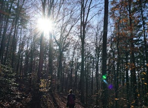
North Little Rock, Arkansas
Looking for the best hiking in North Little Rock? We've got you covered with the top trails, trips, hiking, backpacking, camping and more around North Little Rock. The detailed guides, photos, and reviews are all submitted by the Outbound community.
Top Hiking Spots in and near North Little Rock
-
Little Rock, Arkansas
Hike The Rock Valley & East Quarry Trail, Pinnacle Mountain SP
5.02.5 mi / 500 ft gainThe Rock Valley Trail and East Quarry Trail trailheads can be found on the Southeast side of the vistors center parking lot (Make sure the take the small walk up the stairs to the nearby overlook before your hike). This portion of the trail is heavily wood and is easy to moderate with little incl...Read more -
Roland, Arkansas
Hike the Pinnacle Mountain East Summit Trail
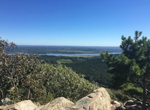
4.51.4 mi / 719 ft gainThe East Summit trail is a 1.5 out and back that reaches a final elevation of 1,011ft. The trailhead is in the southeast corner of the East Summit Parking Lot on Pinnacle Valley Road. Walk about 10 yards down the trail to the junction, take the right fork and follow the RED and WHITE blazes. This...Read more -
Roland, Arkansas
Hike the Pinnacle Mountain West Summit Trail
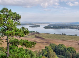
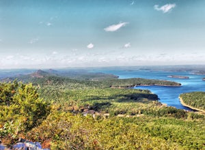
3.01.24 mi / 738 ft gainThis rocky trail begins at the park picnic grounds and winds its way to the top of Pinnacle Mountain. From the top is a spectacular view of Lake Maumelle, the Arkansas River Valley, the Ouachita Mountains and west Little Rock. This is truly a breathtaking view. To return, you must retrace your st...Read more -
Fenter Township, Arkansas
Camp at Lake Catherine State Park
Lake Catherine State Park offers fully-equipped cabins, over 60 tent and RV campsites, and a small marina selling everything you need for a perfect day on the lake. The beautiful tree covered campground offers a swimming beach, picnic sites, playgrounds and hiking trails. The park also offers int...Read more -
Fenter Township, Arkansas
Hike the Falls Branch Trail in Lake Catherine SP
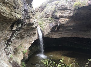
4.31.6 mi / 200 ft gainThe 3 trailheads to get to the Falls Branch waterfall can all be accessed within Lake Catherine SP. Follow the main road to the very end of the park, passing the amphitheater just before you reach the trails parking lot. The three trails you can take to reach the Falls are: Falls Branch Trail, Ho...Read more -
Plainview, Arkansas
Forked Mountain Falls
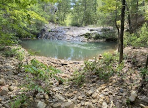
5.02.98 mi / 223 ft gainForked Mountain Falls is an out-and-back trail that takes you by a waterfall located near Perryville, Arkansas.Read more -
Morrilton, Arkansas
Camp at Petit Jean SP
Located between Ft. Smith and Little Rock, just south of Interstate 40, you will find the state treasure that is Petit Jean State Park. Its central location makes it very easy for any one to visit. The main hub of the State Park is the beautiful Mather Lodge, which has a rooms to rent, a restaura...Read more -
Morrilton, Arkansas
Cedar Falls
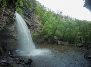
4.82.01 mi / 305 ft gainWhen I did this hike it was unbelievable. This entire valley looks like something out of a painting. If at all possible, I recommend that you plan your trip around the rain, because after a heavy rain the valley is full of waterfalls.Getting there: Cedar Falls is located in Petit Jean State Park ...Read more -
Morrilton, Arkansas
Hike the Seven Hollows Trail at Petit Jean SP
5.04.5 miStart the trail at the marked Seven Hollows Trailhead just off of Petit Jean Mountain Road- there's a small parking lot and signage board. The path is dog-friendly, with lots of springtime stream crossings and swimming opportunities. You can choose to take the 4-mile loop trail in either directi...Read more -
Hot Springs, Arkansas
Hike Hot Springs Mountain then Soak at Buckstaff Bathhouse
3.85 miStart your day at the Buckstaff Bathhouse. I would recommend doing the hike first and the traditional bath experience after, but depending on the day and time of year, the bathhouse may be closed in the afternoon. You can check their hours here. After you buy a ticket and store your belongings, ...Read more

