Harriet, Arkansas
Top Spots in and near Harriet
-
Harrison, Arkansas
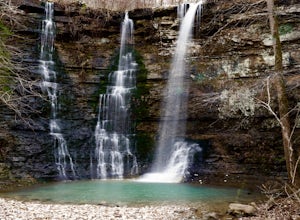
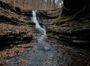
Twin Falls (aka Triple Falls)
5.00.27 mi / 72 ft gainProceed to the Camp Orr Campground down near the banks of the Buffalo River. Once you reach the bottom of the hill you will cross a low water bridge over a small creek. Park in the small parking lot on the right hand side once you cross the creek. Once you park simply walk through the gated are...Read more -
Harrison, Arkansas
Camp at Kyle's Landing
5.0Kyles Landing is located directly beside the beautiful Buffalo river, hardly a stone's throw from the cool refreshing water. With huge bluffs soaring over 400ft into the air, multiple hiking trails available, and access to the river itself, the campground is a perfect weekend getaway to get outsi...Read more -
Harrison, Arkansas
Backpacking Cecil Creek
5.08 miFrom Tulsa, head out east along US-412 until you reach HWY 103. Take a right (south) on HWY 103 and follow it toward Compton, Arkansas. Shortly before reaching Compton, take the dirt road on the right (before the road starts to head north), and follow the road south. Keep on it as it bends to the...Read more -
Harrison, Arkansas
Hike to Hideout Hollow
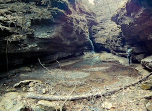
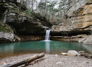
4.02 miAfter parking at the trailhead, head down the well-trodden path and follow it the 0.85 miles downhill to the overlook. Once you are at the overlook, go left and follow the path as it loops around the top of the overhang. You’ll arrive at a small creek (which creates the waterfall that flows into ...Read more -
Hagarville, Arkansas
Hike to V Slot Falls, Bear Creek Canyon
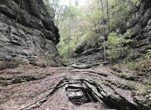
2.5 mi / 600 ft gainFind County Road 1802 in Hagarville, Arkansas off of Arkansas Hwy 123. Travel about 2.2 miles down the road and park. Coordinates 35.68642, -93.17392You'll start hiking west and should find yourself on the right hand side of wet weather ravine. Look closely as you follow this ravine, you'll see p...Read more -
Harrison, Arkansas
Hike to Paige Falls and Broadwater Hollow Falls
5.00.5 mi / 100 ft gainAlthough there is no official trailhead, Paige and Broadwater Hollow Falls can be accessed off of NC 2660 in Compton, Arkansas. Once on NC 2660, head straight down this rugged gravel road for approximately 2 miles. Soon you’ll reach a sharp bend to the left with a small parking area just before...Read more -
Harrison, Arkansas
Indian Creek to The Eye Of The Needle
5.04.27 mi / 705 ft gainStarting at approx. 900' in elevation, this 5 mile out and back hike ascends 700' in elevation to 1,400 at the highest point- The Eye of The Needle. The trail head is located next to the Buffalo River sign at Kyles Landing on the West side of the campground. You will follow the trail less than ...Read more -
Heber Springs, Arkansas
Sulphur Creek Trail
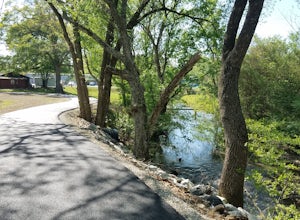
9.1 mi / 180 ft gainThe Sulphur Creek trail in Heber Springs is a multi-use trail that is approximately 9.1 miles point-to-point. The trail primarily follows the Right of Way of the old M&NA railroad lines through the community of Heber Springs.The majority of the trail is a 10-foot wide paved asphalt trail that...Read more -
Compton, Arkansas
Hemmed In Hollow Falls via Hemmed In Hollow Trail
5.05.78 mi / 1572 ft gainAfter parking at the Hemmed In Hollow Falls Trailhead, follow the path down as it descends into the valley. As you approach one of the vistas, you’ll be able to spot the emerald green waters of the Buffalo River, as well as the bluffs to your east where the waterfall hides. After reaching the va...Read more -
Hagarville, Arkansas
Backpack to the Natural Bridge
5.08 miAfter you drive across the one-lane bridge and take the dirt road immediately after it, follow that dirt road until it begins to bend to the left. Park your vehicle in the turnoff on the right, and be sure to lock it and take (or hide) any valuables in it. Even though it’s relatively remote, rand...Read more -
Jasper, Arkansas
Camp along the Buffalo National River
5.02 miThis is a night of camping that is one for the books. Head to the Steele Creek area on the Buffalo River. Once you are in the Steel Creek area simply follow the gravel road to the right and park anywhere in the grass along the river. Camping is permitted anywhere along the Buffalo River as lon...Read more -
Jasper, Arkansas
Hike to Steel Creek Overlook
2.8 miThis hike begins at the popular Steel Creek Campground area along the Buffalo National River just outside of Ponca, Arkansas. You can park anywhere in the grass just to the left where the pavement turns into gravel at the bottom of the hillside. To reach the trailhead simply walk back up the ro...Read more -
Jasper, Arkansas
Camp along the Buffalo National River via Steel Creek
The Buffalo National River was declared America’s first National River in 1972. Since then, and even before, it has been an Arkansas favorite for camping and canoeing. For this trip we drove out to the Steel Creek Campground, near Ponca, AR, and started our trek from there. Camping is allowed a...Read more -
Heber Springs, Arkansas
Paddle the Little Red River
The Little Red starts at the base of Greers Ferry Dam. This river is crystal clear and is stocked with trout. Water temperature stays at around 46° F, so there is always a dense fog over the water creating a beautiful gloss over the area. Over time pieces of mountain have made their way down in a...Read more -
Hagarville, Arkansas
Pam's Grotto Trail
4.00.92 mi / 384 ft gainGetting to this trailhead is the most difficult part. The small parking area/campground is located about a half mile east of the Haw Creek Falls Campground. You will see a pull off on the east side of the road where you can park your car. Once you are ready to hit the trail you will cross the ro...Read more -
Hagarville, Arkansas
Haw Creek Falls Trail
5.00.18 mi / 33 ft gainHaw Creek Falls Trail is an out-and-back trail that takes you by a waterfall located near Hagarville, Arkansas.Read more

