Garfield, Arkansas
Top Spots in and near Garfield
-
Harrison, Arkansas
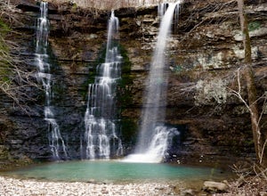
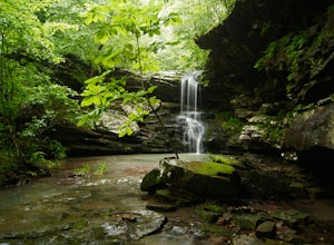
Twin Falls (aka Triple Falls)
5.00.27 mi / 72 ft gainProceed to the Camp Orr Campground down near the banks of the Buffalo River. Once you reach the bottom of the hill you will cross a low water bridge over a small creek. Park in the small parking lot on the right hand side once you cross the creek. Once you park simply walk through the gated are...Read more -
Colcord, Oklahoma
Relax at Natural Falls
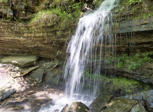
4.4Natural Falls is located within Natural Falls State Park in the scenic Ozark Highlands near the Oklahoma/Arkansas border. The drive to Natural Falls will offer beautiful rolling hills and dense forests lining the highway, and the falls cascade into a V-shaped valley and create a serene atmosphere...Read more -
West Fork, Arkansas
Yellow Rock Trail
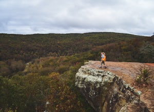
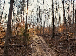
4.03.25 mi / 531 ft gainYellow Rock Trail offers an easy loop hike with stunning views of the Ozark Mountains. The trail is located just south of Fayetteville, AR in Devil’s Den State Park. From the entrance, follow the main road past the visitors center. You’ll pass a small lake and recreational area on the left. T...Read more -
Winslow, Arkansas
Devil's Den Trail
5.01.26 mi / 315 ft gainThe Devil's Den Trail, in Devil's Den State Park, is a haven of vivid green along Lee Creek. This is the perfect hike for families, photographers, and those new to the Ozarks. The trail is a modest 1 1/2 miles with little elevation gain. In that compact span it weaves past gravity fed seeps, dri...Read more -
Deer, Arkansas
Hike to Magnolia Falls
5.02.5 miThis adventure starts at the parking area that is marked by a Wilderness Area sign. The trailhead is actually the old jeep trail that makes its way through the woods. Follow the jeep trail past a few old campsites and an camping registration box. The trail will cross over a small creek bed and...Read more -
Winslow, Arkansas
White Rock Rim Trail
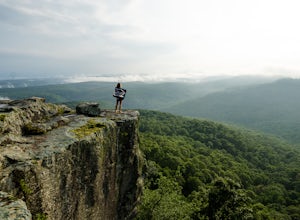
5.02.08 mi / 335 ft gainThe trail around the Rim of White Rock Mountain is one of the best trails for vantage points. Nestled in the beautiful Boston Mountains in north central area of Arkansas. The White Rock Rim trail is an easy 2 mile loop trail that is moderately hiked year round. Start at the parking area and he...Read more -
Jasper, Arkansas
Climb at Horseshoe Canyon Ranch
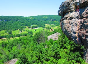
4.7Horseshoe Canyon Ranch (HCR) 36°0'25"N 93°17'23"W is located just West of Jasper, Arkansas and hosts hundreds of sport/trad climbing routes ranging from 5.6 to 5.13a! Driving into the canyon, you will follow along a dirt road to the gate for Horseshoe Canyon. Continue down, past the barn to the...Read more -
Jefferson Township, Arkansas
Hike the Glory Hole Falls Trail
4.42 mi / 345 ft gainThis trail and waterfall is located 13.8 miles south of Boxley, AR or 5.7 miles east of Fallsville, AR. The easiest way to get to the trailhead is to locate the Cassville Baptist Church on your GPS system. If you are headed east, the church is 0.7 miles east of the trail. If you are headed west, ...Read more -
Jasper, Arkansas
Canoe or Kayak the Buffalo River From Pruitt Landing to Hasty
5.0The Buffalo River is America's first National River and flows freely for 135 miles. Many of the upper sections are whitewater, but lower down there are some great, flat, easy paddling spots that are fantastic for canoes!As with all river paddling you need to first shuttle a car down to the take o...Read more

