Garfield, Arkansas
Looking for the best backpacking in Garfield? We've got you covered with the top trails, trips, hiking, backpacking, camping and more around Garfield. The detailed guides, photos, and reviews are all submitted by the Outbound community.
Top Backpacking Spots in and near Garfield
-
Compton, Arkansas
Hike to Scenic Big Bluff
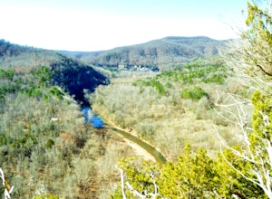
5.06 miThe hike starts at the Centerpoint Trailhead and follows a clearly defined trail for 3 miles (approximately one hour) with mostly downhill or flat terrain and views through the trees of the rolling Ozark landscape. When you are almost to Big Bluff, the trail opens up into a large round area with ...Read more -
Compton, Arkansas
Big Bluff via the Centerpoint Trailhead
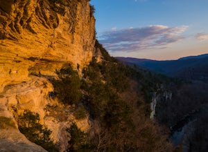
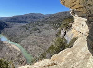
4.96.21 mi / 991 ft gainThis adventure begins at the Counterpoint Trailhead just north of Ponca, AR. Follow the trail downhill for about 2.7 miles until you reach a split in the trail. Take the trail off to the right and follow it for another .5 miles until you reach the Big Bluff area. There is a lot of area to expl...Read more -
Compton, Arkansas
Centerpoint to Goat Trail
5.82 mi / 1001 ft gainCenterpoint to Goat Trail is an out-and-back trail that takes you by a river located near Ponca, Arkansas.Read more -
Compton, Arkansas
Backpacking Along the Buffalo River
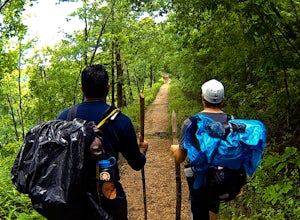
5.012 miPark at the Centerpoint Trailhead and follow the Centerpoint trail as it heads about 3 miles downhill towards Big Bluff. You’ll know you’ve reached the trail junction for Big Bluff when you come to a clearing that has a large firepit in the middle and a small unmaintained trail heading off to the...Read more -
Compton, Arkansas
Hemmed In Hollow Falls via Hemmed In Hollow Trail
5.05.78 mi / 1572 ft gainAfter parking at the Hemmed In Hollow Falls Trailhead, follow the path down as it descends into the valley. As you approach one of the vistas, you’ll be able to spot the emerald green waters of the Buffalo River, as well as the bluffs to your east where the waterfall hides. After reaching the va...Read more -
Jasper, Arkansas
Camp along the Buffalo National River
5.02 miThis is a night of camping that is one for the books. Head to the Steele Creek area on the Buffalo River. Once you are in the Steel Creek area simply follow the gravel road to the right and park anywhere in the grass along the river. Camping is permitted anywhere along the Buffalo River as lon...Read more -
Harrison, Arkansas
Indian Creek to The Eye Of The Needle
5.04.27 mi / 705 ft gainStarting at approx. 900' in elevation, this 5 mile out and back hike ascends 700' in elevation to 1,400 at the highest point- The Eye of The Needle. The trail head is located next to the Buffalo River sign at Kyles Landing on the West side of the campground. You will follow the trail less than ...Read more -
Kingston, Arkansas
Backpack Along Whitaker Creek
5 miAfter arriving at the Whitaker Point/Hawksbill Crag trailhead, start going down the path for about 1/8th of a mile. You’ll cross a small stream, and here is where you’ll turn off the trail. Using Whitaker Creek as your guide, follow it like a handrail as it descends down into the confluence with ...Read more -
Harrison, Arkansas
Backpacking Cecil Creek
5.08 miFrom Tulsa, head out east along US-412 until you reach HWY 103. Take a right (south) on HWY 103 and follow it toward Compton, Arkansas. Shortly before reaching Compton, take the dirt road on the right (before the road starts to head north), and follow the road south. Keep on it as it bends to the...Read more

