Arizona
Looking for the best running in Arizona? We've got you covered with the top trails, trips, hiking, backpacking, camping and more around Arizona. The detailed guides, photos, and reviews are all submitted by the Outbound community.
Top Running Spots in and near Arizona
-
Sedona, Arizona
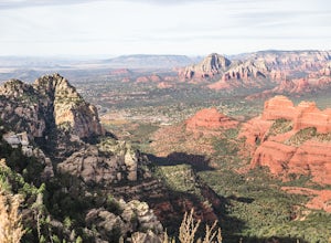
Hike Munds Mountain
6 mi / 1400 ft gainMunds Mt. is the highpoint due east of the town of Sedona, but due to its forested summit and trailhead accessibility limited to 4WD vehicles, it gets far less interest than hikes like Cathedral Rock, Wilson Mountain, or Fay Canyon yet has fantastic views of the town of Sedona and the surrounding...Read more -
Apache Junction, Arizona
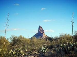
Hike Black Mesa Loop
4.59 miFrom First Water Trailhead, a short walk east brings you to the junction of the Dutchman trail and the Second Water trail. If you follow the Dutchman trail to the right you'll be heading southeast for a while, catching glimpses of Weaver's Needle in the distance. You can complete the loop going...Read more -
Goodyear, Arizona
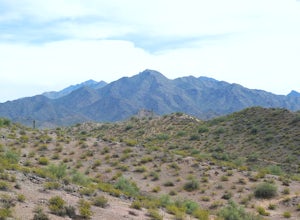
Hike Estrella Mountain's Baseline Trail
4.02.4 mi / 259 ft gainBaseline Trail is a 2.4 mile moderately trafficked loop trail. This trail features lovely wild flowers and is rated as intermediate. You can use this trail not just for hiking but you can also use the trail for running as well as mountain biking. On the trail you are allowed to bring your furry f...Read more -
Sedona, Arizona
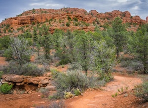
Hike the Baldwin Trail
3.3 mi / 105 ft gainAs with most areas in Sedona, you will need to have purchased a Red Rock Pass to park at the trailhead, which is located just south of Verde Valley Road. The trailhead, starting at an elevation of 3,950 feet, is well marked and the trail is defined. You have an option to either hike clockwise or ...Read more -
Phoenix, Arizona
Apache Wash Loop Trail
5.79 mi / 541 ft gainThis hike begins at the Apache Wash Trailhead where you will find restrooms and a covered rest area. This loop is simple to follow and offers various shortcuts along with an access to an optional summit climb. The loop begins from the north-east end of the parking lot near the restrooms. Turn l...Read more -
Sedona, Arizona
Broken Arrow Trail to Chapel of the Holy Cross
4.54.91 mi / 640 ft gainThe Broken Arrow Trail is stunning. To reach the Broken Arrow Trail from the town of Sedona, head south on 179-S for approximately 1.5 miles and turn left on Morgan Road. Drive down Morgan Road until you reach the end of the asphalt and it turns into a dirt road. Drive down the dirt road approx...Read more -
Flagstaff, Arizona
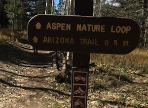
Hike the Aspen Nature Loop at Humphrey's Peak
5.01.8 mi / 300 ft gainThis is a great hike that has amazing views at all times of the year. This trail might be closed for skiing season, but I am not sure. I went in October, just before Halloween and the weather was perfect. The leaves were changing and there was a nice brisk breeze. The short loop makes it accessib...Read more -
Waddell, Arizona
Hike Goat Camp Trail
16 miThis is one of the less traveled trails in White Tank Mountain Regional Park. If you're looking for a solid day hike in the west valley, try this one. It isn't a loop, but it ultimately connects with some of the other long trails so if you're up for a long hike, you have options. This starts f...Read more -
Buckeye, Arizona
Hike Valley Vista from Turnbuckle Trail
5.02 miThe Valley Vista trail is a short hike in Skyline Regional Park, located in the southern region of the White Tank Mountains west of Phoenix. From the top you'll have a great view of the Estrella Mountain Range and the southwest valley. For the most direct route, take the Turnbuckle trail. This...Read more -
Waddell, Arizona
Hike Mesquite Canyon Trail
13 mi / 1394 ft gainThis is a great place to begin your hike in the White Tank Mountains. From the Ramada Way area, the trail begins to lead steadily into a small canyon. As you get further up, the trail will begin get more steep. After a short time it leads up to the first saddle and wraps around a ridge and bec...Read more -
Tucson, Arizona
Catch a Sunset on "A" Mountain
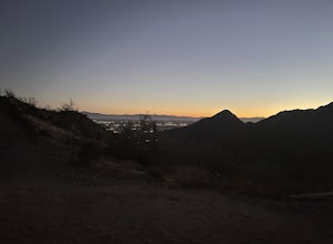
4.00.3 mi / 250 ft gainIn 1910 a group of University of Arizona students took local basalt rock and constructed a 160' block "A" on the east face of Sentinel Peak overlooking Tucson, giving the prominent peak its most commonly known name. Now the area is part of the 272 acre Sentinel Peak Park, and features a great net...Read more -
Tucson, Arizona
Hike to the Bowen Stone House via Bowen Trail
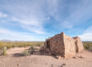
2.4 mi / 300 ft gainThe Tucson Mountains are home to Saguaro National Park and the Tucson Mountain Park, the latter of which is a massive 20,000 acre park that is home to huge forests of giant saguaro cacti, a wide diversity of desert wildlife, and several long-abandoned farms and ranches like the Bowen Homestead, c...Read more -
Queen Creek, Arizona
Hike the Dynamite and Goldmine Loop
5.04.7 mi / 773 ft gainThis trail is a moderately-rated hike. It is used for a variety of activities including hiking, mountain biking, running, and walking. To access the trail, it is important to note that there is a $7 cash parking fee, so be prepared! The beginning of the trail is the most challenging part as it ...Read more -
Page, Arizona
Hike the Page Mesa Trail
13.2 mi / 800 ft gainThe best way to loop is counter-clockwise, to avoid unnecessary uphill distance. The trail features wonderful wildflowers in the spring, and is open year round. The Page Mesa Trail typically takes between 1 and 3 hours to hike. The trail is also a fabulous location for mountain biking and is dog ...Read more -
Ajo, Arizona
Hike the Victoria Mine Trail
4.2 mi / 100 ft gainThe Victoria Mine Trail is a gentle traverse of the Sonoran Desert landscape. Any time of year, but especially in summer, be sure to bring plentiful water and sun protection, as there is no shade or respite on this route.Start at the southern end of Twin Peaks Campground, where there is trailhead...Read more -
Sedona, Arizona
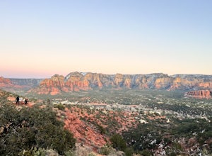
Airport Loop Trail
5.03.28 mi / 338 ft gainAirport Loop Trail is a loop trail where you may see wildflowers located near Sedona, Arizona.Read more

