Payson, Arizona
Top Spots in and near Payson
-
Fort McDowell, Arizona
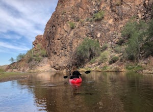
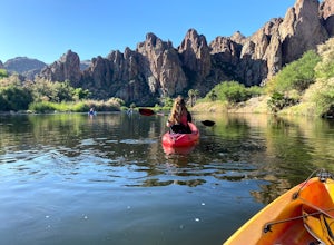
Kayak Saguaro Lake
4.0If you want to enjoy some paddle time on the beautiful Saguaro Lake, launching from Butcher Jones Recreation Area is your best bet. If you don’t have your own kayak, you can rent from the nearby Saguaro Lake Guest Ranch and they’ll bring the kayaks to the launch point for you (as well as provide...Read more -
Fort McDowell, Arizona
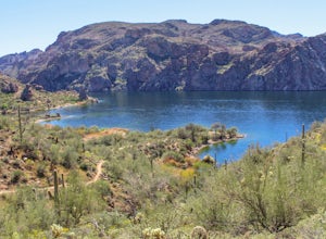
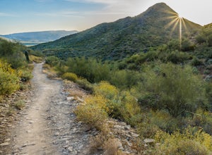
Hike Butcher Jones Trail Around Saguaro Lake
4.64 mi / 300 ft gainButcher Jones Recreational Area truly has a little bit of everything. However, the highlight of the area is the Butcher Jones Trail, a 4 mile out and back trail that is suitable for all skill levels. With minimal elevation gain and beautiful views, it can't be beat!The trailhead is located right ...Read more -
Sedona, Arizona
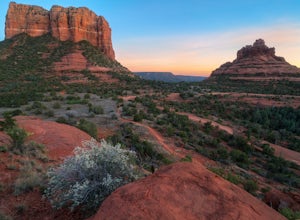
Baby Bell Rock
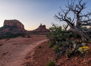
5.01.03 mi / 112 ft gainAt roughly a 1 mile loop, the Bell hike is a short but very sweet hike with high reward, it's an amazing spot to sit an watch the sun dip below the horizon and if you're lucky, may even have the view to yourself. Accessing the hike is best started at the Bell Rock Parking lot, if you're heading ...Read more -
Sedona, Arizona
Bell Rock Trail
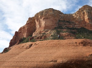
4.60.78 mi / 210 ft gainThe Bell Rock Trail in Sedona is a relatively easy hike with a majestic reward. It is a well maintained trail that with plenty of views to keep your eyes happy. Don't be surprised if you catch yourself turning around every 5 minutes and saying, "wow, this is gorgeous!" The trail itself is only ~...Read more -
Sedona, Arizona
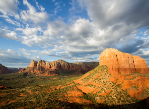
Courthouse Butte Loop
5.03.83 mi / 331 ft gainWhile most people stop to hike the Bell Rock Trail, you can get away from the congestion and madness by tackling the nearby Courthouse Butte trail. This moderate hike is 4.5 miles roundtrip over relatively flat ground on a well maintained trail. To get to the trailhead, park in the Courthouse V...Read more -
Sedona, Arizona
Hike or Bike the Hiline Trail in Sedona
5.08 mi / 480 ft gainStart this incredible hike by parking at the Yavapai Point parking lot. Start the short hike (0.13 miles) on the Kaibab Trail which will run into Yavapai Vista Trail (0.27 miles) towards the Slim Shady Trail. Here you will have an incredible view of Bell Rock and Courthouse Vista an excellent pla...Read more -
Black Canyon City, Arizona
Zig Zag Trail
3.04.61 mi / 436 ft gainZig Zag Trail is a loop trail that takes you by a river located near Canyon City, Arizona.Read more -
Black Canyon City, Arizona
Government Springs Trail
5.011.04 mi / 741 ft gainGovernment Springs Trail is a loop trail that takes you by a river located near Mayer, Arizona.Read more -
Cave Creek, Arizona
Hike the Go John Trail
5.05.6 mi / 804 ft gainAs you park at the trailhead, you have the option to take this trail in either direction. I recommend that you travel north, which will immediately provide 0.75 miles of elevation gain. You will then reach a pass with panoramic views of the Tonto National Forest. A bench in this area provides the...Read more -
Mesa, Arizona
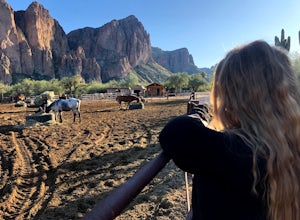
Horseback Ride in the Sonoran Desert
5.0This picturesque location is truly unique; featuring Saguaro Lake, the spectacular Bulldog Cliffs and the Salt River winds through the Ranch property, and you’re able to experience it all on horseback. What I loved most is that the horses were well cared for, the handlers obviously adored the ani...Read more -
Mesa, Arizona
Kayak the Lower Salt River
5.0It's not an Arizona summer without time spent on the Salt River! And there's no better way than by kayak. Summertime on the Lower Salt is full of people, mostly in tubes and on SUP's. Getting on the river in the early hours of the morning help avoid some of the crowds. The best launch point by...Read more -
Black Canyon City, Arizona
Castle Creek Road to Cleator
4.010.59 mi / 1677 ft gainCastle Creek Road to Cleator is a point-to-point trail where you may see beautiful wildflowers located near Black Canyon City, Arizona.Read more -
Fountain Hills, Arizona
Hike the Dixie Mine Trail
2.05.5 mi / 591 ft gainThe MineDixie mine was established in 1877, when mining scouts noticed the large amount of quartz in the area. The Dixie Mine was sold many times throughout the 20th Century and was ruled no longer efficient in 1977 when it was sold to the McDowell Mountain Regional Park. The PetroglyphsThe area ...Read more -
Apache Junction, Arizona
Kayak Canyon Lake Reservoir
4.5Canyon Lake is located in a National Recreation Area. It was created by the damming of the Salt River, in Arizona, specifically by the Morman Flat Dam. The lake sits at an elevation of 1,660' and has a mean depth of 130', and an area of 1.484 mi². We launched our kayaks from the boat launch area ...Read more -
Apache Junction, Arizona
Hike the Boulder Canyon Trail
4.010 mi / 1500 ft gainParking for the trailhead is actually in the same lot as the marina. There is a restaurant, campground, and restrooms all in the vicinity of the parking lot. The actual trailhead is on the other side of the street opposite the parking lot entrance road. The hike begins an uphill climb. In a c...Read more -
Sedona, Arizona
Chapel Trail to Broken Arrow Trail to Mystic Trail Loop
3.77 mi / 446 ft gainChapel Trail to Broken Arrow Trail to Mystic Trail Loop is a loop trail that takes you by a river located near Sedona, Arizona.Read more

