Paradise Valley, Arizona
Top Spots in and near Paradise Valley
-
Phoenix, Arizona
Hike Holbert Trail to Dobbins Lookout
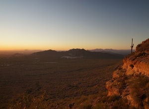
4.04.1 mi / 1135 ft gainDobbins lookout is a popular high point in South Mountain Park that offers views of the entire Phoenix area. It's accessible by road or by trail with no entry fee. Consider going in the evening for the best views.If you plan to hike to the top, the shortest route is the Holbert trail. Take a l...Read more -
Scottsdale, Arizona
Pima and Dynamite Loop
5.050.27 mi / 2136 ft gainPima and Dynamite Loop is a loop trail that provides a good opportunity to view wildlife located near Scottsdale, Arizona.Read more -
Scottsdale, Arizona
Bike the Pemberton Loop in McDowell Mountain Park
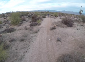
15.4 miThis is a 15.4 mile loop that has 879 feet of elevation gain and descent. We took this trail clockwise. The trail is very well marked and maintained. It starts out flat from the parking lot. Once you have made it across the road it begins to climb. You continue with a gradual climb until you've g...Read more -
Fort McDowell, Arizona
Hike the Lower Salt River Nature Trail
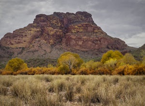
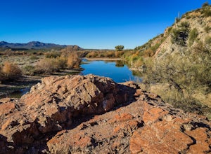
2.52.4 miThis scenic loop offers views of Four Peaks, the Salt River & Verde River, and a desert landscape with plenty of wildlife. Keep an eye out for eagles, wild horses, and other wildlife while you're on the trail. This trail starts from the Phon D Sutton Recreation site, which is located at the...Read more -
Scottsdale, Arizona
Upper Ranch and Brown's Ranch Road Trail
3.98 mi / 154 ft gainUpper Ranch and Brown's Ranch Road Trail is a loop trail where you may see wildflowers located near Scottsdale, Arizona.Read more -
Mesa, Arizona
Photograph the Salt River Wild Horses at Coon Bluff
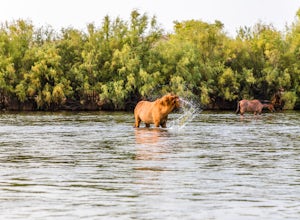
5.0Wild horses have roamed the banks of the lower Salt River since long before the Tonto National Forest was created in 1902. It is thought that these wild horses have descended from a herd brought to the area by a Spanish missionary in the 1600's. In 2015 the United States Forest Service had pu...Read more -
Phoenix, Arizona
Apache Wash Loop Trail
5.79 mi / 541 ft gainThis hike begins at the Apache Wash Trailhead where you will find restrooms and a covered rest area. This loop is simple to follow and offers various shortcuts along with an access to an optional summit climb. The loop begins from the north-east end of the parking lot near the restrooms. Turn l...Read more -
Glendale, Arizona
Run at Thunderbird Park
5.02 mi / 475 ft gainThis is a great spot to go for a quick run or a short hike if you're in North Phoenix. Thunderbird park is easily accessible with free entry and a number of picnic areas.There are 3 main hills with a variety of trail options to hike up/around each. From the top you'll find a nice view of valley...Read more -
Phoenix, Arizona
Lost Ranch Ruins Trail to Lost Ranch Mines Trail Loop
5.04.97 mi / 1184 ft gainLost Ranch Ruins Trail to Lost Ranch Mines Trail Loop is a loop trail where you may see wildflowers located near Phoenix, Arizona.Read more -
Glendale, Arizona
Deem Hills Loop
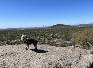
3.55 miLocated in north Phoenix, the Deem Hills recreation area features a dog park, playground, soccer field, and trailhead leading into the neighboring hills. To begin your hike, get around the dog park by starting at the Circumference trailhead on the north side of the parking lot. To complete th...Read more -
Apache Junction, Arizona
Hike the Wind Cave Trail
4.32.9 mi / 790 ft gainThis is a great trail for a run or for stretching your legs exploring the caves in Usery Mountain Regional Park. Keep in mind that the trail leads you up to the cave and is the end point. To get better views of the area, you'll have to climb up past the caves, where the trail is not marked.Read more -
Cave Creek, Arizona
Hike the Go John Trail
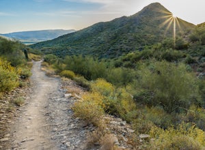
5.05.6 mi / 804 ft gainAs you park at the trailhead, you have the option to take this trail in either direction. I recommend that you travel north, which will immediately provide 0.75 miles of elevation gain. You will then reach a pass with panoramic views of the Tonto National Forest. A bench in this area provides the...Read more -
Maricopa County, Arizona
Hike the Goldfield Ovens Loop
7.5 mi / 575 ft gainA Tonto Day Pass is required for this hike as you will park your vehicle at the Blue Point Picnic Area. The trail starts North of the restrooms which are located at the backside of the parking lot. The trail takes you through a mesquite filled area alongside large rock faces. Be sure too look for...Read more -
Mesa, Arizona
Kayak the Lower Salt River
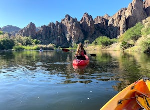
5.0It's not an Arizona summer without time spent on the Salt River! And there's no better way than by kayak. Summertime on the Lower Salt is full of people, mostly in tubes and on SUP's. Getting on the river in the early hours of the morning help avoid some of the crowds. The best launch point by...Read more -
Mesa, Arizona
Horseback Ride in the Sonoran Desert
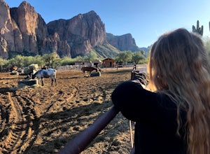
5.0This picturesque location is truly unique; featuring Saguaro Lake, the spectacular Bulldog Cliffs and the Salt River winds through the Ranch property, and you’re able to experience it all on horseback. What I loved most is that the horses were well cared for, the handlers obviously adored the ani...Read more -
Cave Creek, Arizona
Elephant Mountain Fortress Hike
5.05.5 mi / 867 ft gainThis hike beings at Spur Cross Ranch in Cave Creek, which is a lush riparian area flowing with Saguaros. Starting at the trailhead, you will start this loop by hiking clockwise on Tortuga trail which will connect with the Elephant Mountain trail at 1.5 miles. As you start to ascend the Elephant M...Read more


