Huachuca City, Arizona
Looking for the best hiking in Huachuca City? We've got you covered with the top trails, trips, hiking, backpacking, camping and more around Huachuca City. The detailed guides, photos, and reviews are all submitted by the Outbound community.
Top Hiking Spots in and near Huachuca City
-
Sonoita, Arizona
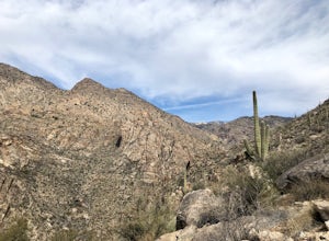
Hike to Hutch's Pool
5.07.8 mi / 647 ft gainStart at the Sabino Canyon trailhead - you can either walk up the dirt road (which adds about 4 miles) or take the $10 tram from the Visitor Center and hop off at the last stop #9. From there you hike 2.5 miles into Sabino Canyon into the basin (beautiful views of the canyon all the way there). O...Read more -
Cochise, Arizona
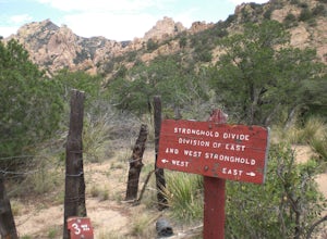
Hike the Cochise Stronghold Trail
4.012 mi / 1200 ft gainTake Rt. 10 east toward Benson and onto Cochise. Follow the sign to Pearce then to Sunsite. Take Ironwood Rd., Forest Rd. 84, for about 12 miles to the Stronghold Campground. Cochise Stronghold is about 1 hour from Tucson and well worth the drive. This is an out and back hike which makes for a lo...Read more -
Rio Rico, Arizona
Camp at Patagonia Lake State Park
5.0Patagonia Lake State Park is located about 70 miles southeast of Tucson on State Route 82, 7 miles south of Patagonia, Arizona. Coming from the north, the drive to Patagonia Lake State Park is very scenic; the road winds through rolling hills and countryside with the looming Santa Rita Mountains ...Read more -
Tucson, Arizona
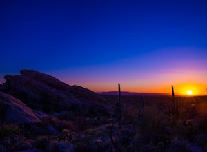
Hike to Javelina Rock
5.07 mi / 400 ft gainDrive through the gate of Saguaro National Park and continue straight onto Cactus Forest Drive. The 8 Mile loop takes you around to Javelina Rock parking area. Take time to enjoy this drive, it offers great views of the park and opportunities to spot coyotes and other wildlife.About 7 miles into ...Read more -
3693 South Old Spanish Trail, Arizona
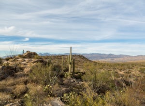
Drive the Cactus Forest Loop in Saguaro's Rincon Mountain District
5.08 mi / 550 ft gainSaguaro National Park is split into two different "districts" found east and west of Tucson. In the East-Rincon Mountain District you can find over 130 miles of hiking trails. However, for folks who don't have much time in the park, are with friends and family who aren't hikers, or are literally ...Read more -
3693 South Old Spanish Trail, Arizona
Drive the Scenic Loop in Saguaro National Park East (Cactus Forest)
4.58 miThe Cactus Forest scenic drive is one of two scenic drives in Saguaro National Park (the other is in the West district location). The drive in Saguaro National Park East is a paved eight-mile one way loop that runs through the heart of an extensive saguaro forest. If you’re lucky enough to visi...Read more -
Tucson, Arizona
Tanque Verde Falls
4.21.93 mi / 430 ft gainThis hike starts at the Lower Tanque Verde Falls Trailhead, which is a well marked dirt lot on the left side of Reddington Road. A 4x4 would probably make the last half mile or so easier when the road turns to dirt but I made it to the trailhead in a Toyota Carolla without any trouble, so don't l...Read more

