Fort McDowell, Arizona
Looking for the best hiking in Fort McDowell? We've got you covered with the top trails, trips, hiking, backpacking, camping and more around Fort McDowell. The detailed guides, photos, and reviews are all submitted by the Outbound community.
Top Hiking Spots in and near Fort McDowell
-
Gold Canyon, Arizona
Superstition Peak 5057 via Carney Springs
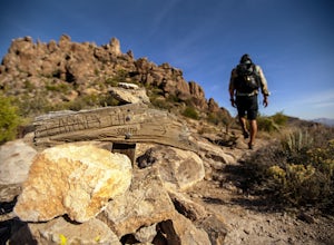
5.07.71 mi / 2831 ft gainThis is the true beast hike of the Superstitions. If you think Flatiron is a toughy, give this a whirl! You will be poked, prodded, slapped, smacked, jolted, tripped and stabbed the entire way, but rewarded with arguably the finest sights the valley of the sun has to offer: the entire Superstitio...Read more -
Gold Canyon, Arizona
Wave Cave Trail
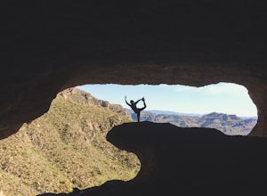
4.73 mi / 948 ft gainFrom the trail-head you will follow the old and wide dirt road for a while until you reach the wilderness fence line. It's easy to get lost. When you reach the fence there's an area to go through. It's difficult to see. Make sure you look closely. DO NOT follow the signs that say "trail". Once yo...Read more -
Gold Canyon, Arizona
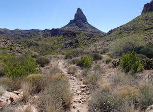
Weavers Needle
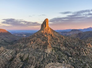
8.02 mi / 2602 ft gainLace up your boots, stock up your gear, bid farewell to civilization and head out to the wild. This adventure is not one for the faint of heart. It will scrape, snag, trip and stumble you. It will scare, taunt and tantalize you. You will need to earn this one, and it is more than worth the effort...Read more -
Gold Canyon, Arizona
Fremont Saddle via Peralta Canyon Trail
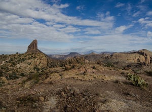
4.74.53 mi / 1378 ft gainAfter taking Peralta Road all the way to the end, park your car in the parking lot and you'll see the sign for the trail head. Sign in at the register and then begin our hike on Peralta Trail. This trail winds through the canyon and then takes you up switch backs until you reach the saddle. The ...Read more -
Gold Canyon, Arizona
Weavers Needle Loop
5.012.37 mi / 2608 ft gainThis is a difficult hike! Plan on a lot of time and an early start. I did this hike in a clockwise direction (Peralta Trail) which really doesn't matter much but I recommend the direction to get the steepest part of the hike done first. Most people just do an out and back hike to Freemont Saddle ...Read more -
Gold Canyon, Arizona
Bluff Springs Loop
4.014.55 mi / 2523 ft gainFrom the Peralta Trailhead, start hiking on Bluff Springs Trail. This trail will wind over a few hills past incredible views, and then take you down into a wash. In the wash you will intersect with the Terrapin Trail. Turn left onto the Terrapin Trail, and it will take you out of the wash and pa...Read more -
Phoenix, Arizona
Hike Marcos de Niza Ridgeline / National Loop
5.02.8 mi / 640 ft gainThis is somewhat of a hidden gem in South Mountain Park, the largest municipal park in the United States, even though it's right there for all to see. The best way to take advantage of this trail is to attack the ridgeline with an intense hiking pace or trail run, connecting it to the National Tr...Read more -
Phoenix, Arizona
Hidden Valley via the Mormon Loop Trail
4.03.63 mi / 873 ft gainThis is a great spot for an afternoon hike near Phoenix. There are some beautiful rock formations, nice trails, and pretty stunning views of the city and desert beyond. It's open year round and is dog friendly so if you've got a pup, definitely bring it along. It gets super hot in the summer and ...Read more -
Phoenix, Arizona
Hidden Valley Trail Via Mormon Trail
3.63 mi / 863 ft gainHidden Valley Trail Via Mormon Trail is a loop trail that takes you by a river located near Phoenix, Arizona.Read more -
Phoenix, Arizona
Acer Summit Via Mormon Trail
2.46 mi / 758 ft gainAcer Summit Via Mormon Trail is an out-and-back trail where you may see wildflowers located near Phoenix, Arizona.Read more -
Glendale, Arizona
Deem Hills Loop
3.55 miLocated in north Phoenix, the Deem Hills recreation area features a dog park, playground, soccer field, and trailhead leading into the neighboring hills. To begin your hike, get around the dog park by starting at the Circumference trailhead on the north side of the parking lot. To complete th...Read more -
Glendale, Arizona
Run at Thunderbird Park
5.02 mi / 475 ft gainThis is a great spot to go for a quick run or a short hike if you're in North Phoenix. Thunderbird park is easily accessible with free entry and a number of picnic areas.There are 3 main hills with a variety of trail options to hike up/around each. From the top you'll find a nice view of valley...Read more -
Phoenix, Arizona
Hike Holbert Trail to Dobbins Lookout
4.04.1 mi / 1135 ft gainDobbins lookout is a popular high point in South Mountain Park that offers views of the entire Phoenix area. It's accessible by road or by trail with no entry fee. Consider going in the evening for the best views.If you plan to hike to the top, the shortest route is the Holbert trail. Take a l...Read more -
Queen Creek, Arizona
Hike the Dynamite and Goldmine Loop
5.04.7 mi / 773 ft gainThis trail is a moderately-rated hike. It is used for a variety of activities including hiking, mountain biking, running, and walking. To access the trail, it is important to note that there is a $7 cash parking fee, so be prepared! The beginning of the trail is the most challenging part as it ...Read more -
Roosevelt, Arizona
Visit Tonto National Monument
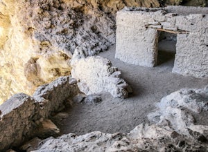
3.71.5 mi / 305 ft gainExplore two remarkably preserved American Indian cliff dwellings that date back to the 13th century. Set within a shelter bluff on the side of steep cliffs, the Upper and Lower Cliff Dwellings are well protected, and have great views of the surrounding Sonoran Desert. If you get to the park early...Read more -
Rogers Trough Trailhead, Arizona
Hike Rogers Canyon Trail
5.08 mi / 1108 ft gainThe Superstition Wilderness is a vast rugged landscape where you can find the cultural remains of ancient Hohokam, Salado, Apache, and Yavapais tribes. Rogers Canyon Trail takes you to one of the most impressive and best preserved archaeological sites this region has to offer. These Salado ruin...Read more

