Benson, Arizona
Looking for the best chillin in Benson? We've got you covered with the top trails, trips, hiking, backpacking, camping and more around Benson. The detailed guides, photos, and reviews are all submitted by the Outbound community.
Top Chillin Spots in and near Benson
-
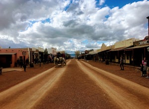
Tombstone, Arizona
Explore the streets of Tombstone
5.0Fan of Western movies? Most people are aware of Hollywood movies like Tombstone and Wyatt Earp along with the infamous real life Gunfight at the O.K. Corral. But instead of walking where Kevin Costner or Kurt Russell stood, walk the boardwalks along the dusty main drag where the real Doc Holiday...Read more -
3693 South Old Spanish Trail, Arizona
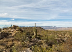
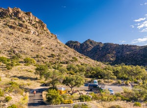
Drive the Cactus Forest Loop in Saguaro's Rincon Mountain District
5.08 mi / 550 ft gainSaguaro National Park is split into two different "districts" found east and west of Tucson. In the East-Rincon Mountain District you can find over 130 miles of hiking trails. However, for folks who don't have much time in the park, are with friends and family who aren't hikers, or are literally ...Read more -
3693 South Old Spanish Trail, Arizona
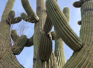
Drive the Scenic Loop in Saguaro National Park East (Cactus Forest)
4.58 miThe Cactus Forest scenic drive is one of two scenic drives in Saguaro National Park (the other is in the West district location). The drive in Saguaro National Park East is a paved eight-mile one way loop that runs through the heart of an extensive saguaro forest. If you’re lucky enough to visi...Read more -
Sonoita, Arizona
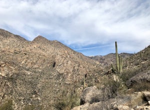
Hike to Hutch's Pool
5.07.8 mi / 647 ft gainStart at the Sabino Canyon trailhead - you can either walk up the dirt road (which adds about 4 miles) or take the $10 tram from the Visitor Center and hop off at the last stop #9. From there you hike 2.5 miles into Sabino Canyon into the basin (beautiful views of the canyon all the way there). O...Read more -
Tucson, Arizona
Camp at Molino Basin
0 mi / 0 ft gainMolino Basin Campground is the only campground of the Catalina District of the Forest Service to be open year round due to its lower elevation at only 4500'. Its position along the Mount Lemmon Highway makes Molino Basin a perfect basecamp for further adventures in the Santa Catalina Mountains, a...Read more -
Tucson, Arizona
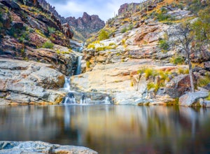
Seven Falls via Bear Canyon
5.08.3 mi / 917 ft gainAt the main parking lot of Sabino Canyon, there are a few different trams you can take to nearby trailheads. You have the option to either hop on a tram that will take you to the 7 Falls trailhead for $4 a person, or walk the 2 miles yourself. Once at the trailhead, signs will lead you into Bear ...Read more -
Tucson, Arizona
Catch a Sunset on "A" Mountain
4.00.3 mi / 250 ft gainIn 1910 a group of University of Arizona students took local basalt rock and constructed a 160' block "A" on the east face of Sentinel Peak overlooking Tucson, giving the prominent peak its most commonly known name. Now the area is part of the 272 acre Sentinel Peak Park, and features a great net...Read more -
Rio Rico, Arizona
Camp at Patagonia Lake State Park
5.0Patagonia Lake State Park is located about 70 miles southeast of Tucson on State Route 82, 7 miles south of Patagonia, Arizona. Coming from the north, the drive to Patagonia Lake State Park is very scenic; the road winds through rolling hills and countryside with the looming Santa Rita Mountains ...Read more -
Tucson, Arizona
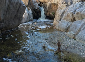
Romero Pools via Romero Canyon
4.85.52 mi / 1155 ft gainTo enter the Catalina State Park costs $7 per vehicle with up to four adults. You then drive to the trailhead parking lot. There will be a restroom and a very small shop there. From the trailhead, you almost immediately crosse Sutherland Wash, which flows seasonally. The first 1.1 miles is relati...Read more

