Oneonta, Alabama
Looking for the best hiking in Oneonta? We've got you covered with the top trails, trips, hiking, backpacking, camping and more around Oneonta. The detailed guides, photos, and reviews are all submitted by the Outbound community.
Top Hiking Spots in and near Oneonta
-
Steele, Alabama
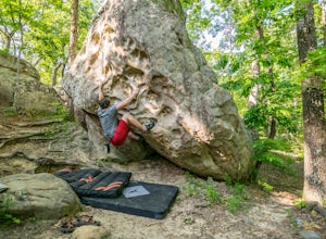
Bouldering Horse Pens 40
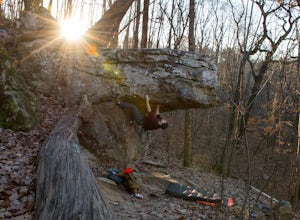
4.01 miHorse Pens 40 is a very well known place for bouldering throughout Alabama. The parking and location arepretty well-marked with signs as you get closer to arriving. Once you arrive and park at Horse Pens, you need to go inside the store to fill out a waiver and pay $6.50 to climb. The bouldering ...Read more -
Gadsden, Alabama
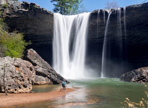
Photograph Noccalula Falls
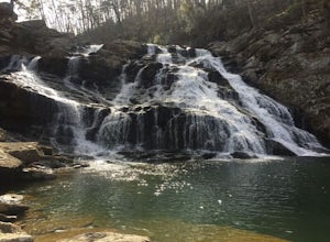
5.01.4 miNoccalula Falls is definitely beautiful from the top, however, you can really get an idea of the pure power of this waterfall by finding your way to the bottom. One way to get to the bottom is to go through the park entrance and pay the $6 admission fee to be able to reach the bottom.Another opti...Read more -
Birmingham, Alabama
Hike to Ruffner Mountain's Hawk's View Overlook
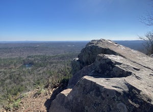
4.82 mi / 200 ft gainPark at the little league baseball fields that are across the road from the access point where the trail meets the road on the southeastern corner of the preserve that you can see on the map. Hike up a gentle incline NW on the Ridge and Valley Trail for about fifteen minutes to the trail intersec...Read more -
Guntersville, Alabama
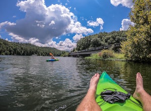
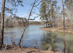
Kayaking at Lake Guntersville State Park
Lake Guntersville State Park is a publicly owned recreation area located on the far north side of the city of Guntersville in Marshall County, Alabama. The state park occupies 5,909 acres on the eastern shore of Guntersville Lake, a 69,000-acre impoundment of the Tennessee River. Lake Guntersvill...Read more -
Mountain Brook, Alabama
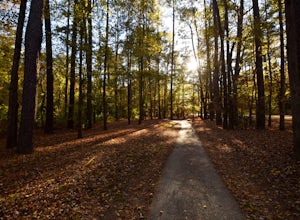
Jemison Park Nature Trail
3.37 mi / 210 ft gainJemison Park is a 54-acre green space located in historic Mountain Brook. The main stretch of trail runs alongside Mountain Brook Parkway on one side and Shades Creek on the other, for a total of about 2 miles when connected with the Nature Trail and the Watkins Trace Trail. The park includes a f...Read more -
Leesburg, Alabama
Camp at Sand Rock
5.01 mi / -100 ft gainWe camped in a rooftop tent, but many people used traditional tents and hammocks. After purchasing a camping permit, drive right up to your campsite. There are three general camping areas.First is the more exposed (to the often strong winds) campsites along the tops of the cliffs that are closest...Read more -
Birmingham, Alabama
Trail Run to Skyhy Tree House at Red Mountain Park
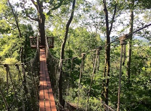
4.84.5 mi / 250 ft gainFrom the park entrance there are several ways to get to Skyhy Tree House, and the trail system allows for loops of varying distances and difficulty. There’s a large map about a quarter mile down the main trail from the park entrance, and paper trail maps are usually available at this sign. The tr...Read more -
Birmingham, Alabama
King's Chair Overlook
4.63.61 mi / 600 ft gainThe pin leads you to the parking lot of Oak Mountain State Park. To get into Oak Mountain State Park there is a $5 fee. From the parking lot, the trail head is easily visible and right across the road. The trails split in a couple of different directions at the trail head, but to go to the King's...Read more -
Birmingham, Alabama
Kings Chair Loop
4.24 mi / 577 ft gainThe Kings Chair Loop trail in Birmingham, Alabama is a well-known hiking trail that offers a variety of natural features and scenic landmarks. The trail is approximately 4.24 miles long and is rated as moderate in difficulty. It is best known for its panoramic views from the King's Chair overlook...Read more -
Birmingham, Alabama
King's Chair Overlook via White and Blue Trail Loop
4.76 mi / 630 ft gainKing's Chair Overlook via White and Blue Trail Loop is a loop trail where you may see beautiful wildflowers located near Pelham, Alabama.Read more -
Birmingham, Alabama
Bouldering at Moss Rock Preserve
5.01 mi / -50 ft gainMoss Rock has abundant parking, and easy access to all climbing areas. There is no fee for use or facilities, however there are several small local restaurants and often times a food truck within walking distance of the parking lot.There are two major bouldering areas as well as hiking trails and...Read more -
Hoover, Alabama
Exploring Moss Rock Preserve
5.00.5 mi / 164 ft gainHome to one of the largest boulder fields in Southeast, Moss Rock Preserve provides adventure for all types of explorers. Nestled in the rocky, rolling hills of Birmingham, at the end of the Appalachian Mountains, Moss Rock is aptly named after the behemoth boulders littered throughout its charmi...Read more -
Munford, Alabama
Salt Creek Falls
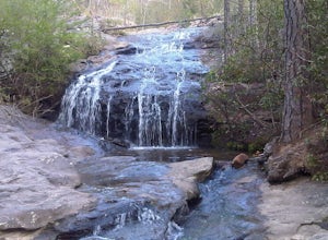
4.00.38 mi / 121 ft gainThe point on the map takes you to a small pull off on the side of the road. Park here and walk over the small dirt mound blocking vehicles from going down the trail. It is less than half a mile to the top of the falls. This is the easy part of the hike though. There is a small trail that leads do...Read more -
Jasper, Alabama
Clear Creek Bicycle Trail
5.03.77 mi / 420 ft gainClear Creek Bicycle Trail is a loop trail that takes you by a lake located near Jasper, Alabama.Read more -
Woodville, Alabama
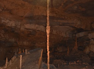
Visit the Cathedral Caverns
2.9 mi / 50 ft gainCathedral Caverns - The Pride of Alabama -- Located in northeastern Alabama, Cathedral Caverns offers an easy look inside an underground system of caverns. The primary trail is well-developed and wheel-chair accessible for most of its 2.9 mile length. The Caverns features many impressive sights. ...Read more -
Pelham, Alabama
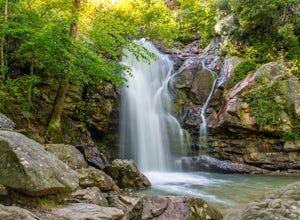
Hike to Peavine Falls
3.74.6 miThe Peavine falls parking is located at the pin. You can also follow signs to the South Trailhead and from there, follow signs to Peavine Falls. Signs are clearly marked at the parking lot leading you down to the top of the falls or the bottom of the falls. Pictures from the top of the falls are ...Read more

