Mountain Brook, Alabama
Looking for the best photography in Mountain Brook? We've got you covered with the top trails, trips, hiking, backpacking, camping and more around Mountain Brook. The detailed guides, photos, and reviews are all submitted by the Outbound community.
Top Photography Spots in and near Mountain Brook
-
Birmingham, Alabama
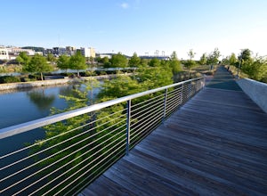
Run at Railroad Park in Downtown Birmingham
4.31.5 mi / 20 ft gainIn many ways, Railroad Park has become a symbol for the revitalization of downtown Birmingham, and it’s helping to ignite a new excitement for the city. Opened in 2010, Railroad Park makes reference to the Steel City’s industrial past, and runs parallel to rail lines that are still used today. Th...Read more -
Birmingham, Alabama
Bike to Sloss Furnace from Railroad Park
4.2 miSloss Furnace is a historic industrial site in downtown Birmingham. For nearly a hundred years, this blast furnace produced iron for the “Steel City.” The site is now designated as a National Historic Landmark, and is a fun place to explore, wandering throughout the plant and past old machinery. ...Read more -
Birmingham, Alabama
Kayak the Cahaba River
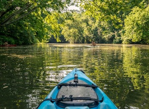
3.0There are several places you can drop your kayak in. This is one of the more accessible spots. Another popular spot for dropping in your kayak is located on Grants Mill Road. If coming from I459, it will be on your left shortly after passing Church of the Highlands. We opted to drop our kayaks in...Read more -
Birmingham, Alabama
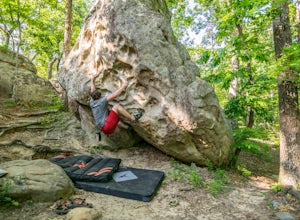
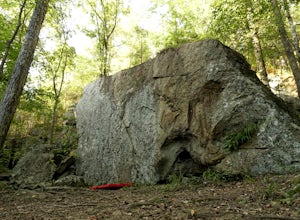
Bouldering at Moss Rock Preserve
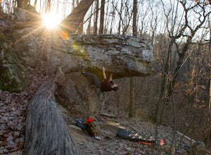
5.01 mi / -50 ft gainMoss Rock has abundant parking, and easy access to all climbing areas. There is no fee for use or facilities, however there are several small local restaurants and often times a food truck within walking distance of the parking lot.There are two major bouldering areas as well as hiking trails and...Read more -
Hoover, Alabama
Exploring Moss Rock Preserve
5.00.5 mi / 164 ft gainHome to one of the largest boulder fields in Southeast, Moss Rock Preserve provides adventure for all types of explorers. Nestled in the rocky, rolling hills of Birmingham, at the end of the Appalachian Mountains, Moss Rock is aptly named after the behemoth boulders littered throughout its charmi...Read more -
Birmingham, Alabama
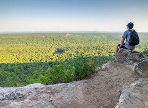
King's Chair Overlook
4.63.61 mi / 600 ft gainThe pin leads you to the parking lot of Oak Mountain State Park. To get into Oak Mountain State Park there is a $5 fee. From the parking lot, the trail head is easily visible and right across the road. The trails split in a couple of different directions at the trail head, but to go to the King's...Read more -
Montevallo, Alabama
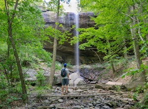
Falling Rock Falls
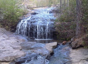
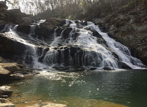
3.91.83 mi / 243 ft gainThe location of the pin leads you to a gravel road with a gated entrance. Park at the white gate and start to hike up the gravel road. The hike is not very strenuous and the waterfall is pretty easy to find. As you hike up the road for a little while the road will fork. Go left at the fork and co...Read more -
Oneonta, Alabama
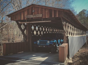
Drive the Covered Bridge Trail in Blount County
5.0I'll be honest, I've gotten a little caught up (obsessed) in the Overland hype the past few weeks and wanted to get out and explore. I didn't want to start off with anything crazy knowing the kids would lose interest pretty quickly. I sat at my desk and did some research and I'm glad that I did. ...Read more -
Steele, Alabama
Bouldering Horse Pens 40
4.01 miHorse Pens 40 is a very well known place for bouldering throughout Alabama. The parking and location arepretty well-marked with signs as you get closer to arriving. Once you arrive and park at Horse Pens, you need to go inside the store to fill out a waiver and pay $6.50 to climb. The bouldering ...Read more -
Sylacauga, Alabama
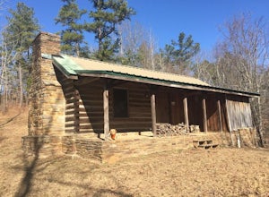
Hike to the Flagg Mountain Tower and Cabins
4 mi / 400 ft gainFlagg Mountain lookout tower and the cabins are inside the Weogufka State Forest. The state forest also has around 4 miles of hiking trails plus the entire Coosa WMA trails. The cabins and tower were built by the CCC to be part of a state park that was never finished, but the Alabama Forestry Com...Read more -
Tuscaloosa, Alabama
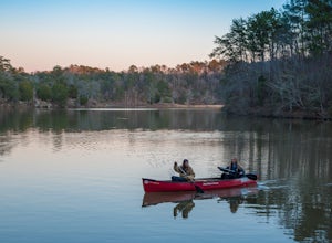
Canoe and Cliff Jump at Lake Nicol
4.01 mi / 40 ft gainLake Nicol has several miles of unofficial trails that circle the west bank of the lake which features up to forty foot cliffs that provide both cliff jumping and an excellent view of the lake. Lake Nicol also has a boat/kayak/canoe launch area right next to the parking area. Nicol is over three ...Read more -
Tuscaloosa, Alabama
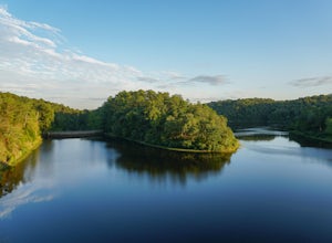
Hike around Lake Harris
5.01.76 mi / 169 ft gainLake Harris opens one hour prior to sunrise and closes one hour after sunset. No camping is allowed nor are motor vehicles allowed on this serene lake. From Lake Nicol Road, turn onto the dirt trail, Lake Harris Road. Follow Lake Harris Road for approximately three miles until you encounter the l...Read more -
Tuscaloosa, Alabama
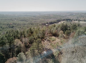
Climb the Unnamed Fire Tower in Tuscaloosa
4.7To my knowledge, this fire tower does not have a name. If you know the name of this fire tower, please leave it in the reviews below! The firetower is located about 20 minutes north of Tuscaloosa. Heading north on AL-69, turn right onto Yellow Creek Road. Continue along Yellow Creek Road for .4 m...Read more -
Tuscaloosa, Alabama
Boulder at Hurricane Creek Park
Hurricane Creek Park in Tuscaloosa, Alabama hosts a field of climbable boulders within it's forest. From the parking lot, follow the trail that stems from the cul-de-sac for approximately 1/10 mile. You will encounter the first cluster of boulders on your right. There are several beginner routes ...Read more -
Tuscaloosa, Alabama
Hike through Hurricane Creek Park
4.07 mi / 200 ft gainThere are two access points to the park from the Parking lot area. The first is just up the road to the east of the top of the parking area, this is the trailhead to the exit portal trail, which is about .2 miles to reach the central hub. From the hub, there are two separate loops that wind throu...Read more -
Munford, Alabama
Salt Creek Falls
4.00.38 mi / 121 ft gainThe point on the map takes you to a small pull off on the side of the road. Park here and walk over the small dirt mound blocking vehicles from going down the trail. It is less than half a mile to the top of the falls. This is the easy part of the hike though. There is a small trail that leads do...Read more

