Port Renfrew, British Columbia
Top Spots in and near Port Renfrew
-
Clallam Bay, Washington
Start at the north end of Ozette Lake and proceed right, following signs to the mostly flat trail leading to Cape Alava. Be sure not to head left towards Sand Point, that is the trail you will use for your return trip. Once you’ve reached the coast, scan the sky for the frequently seen bald eagle...
Read more
-
Port Angeles, Washington
This county park is great for day use or overnight camping. Half the campsites are about 20 feet from the water, so you can hear waves crashing on the rocks as you sleep.A short walk from all the sites going east, you will end up at a large field with picnic tables and a playground for kids (visi...
Read more
-
Salt Spring Island, British Columbia
From the Fulford ferry terminal, turn left onto Morningside Drive and follow the road to the end, where you’ll find a small area to park your car. From here, head up towards the subdivision and keep an eye out for the trail marker on your left, located 100m past the gate into Reginald Hills Estat...
Read more
-
Port Angeles, Washington
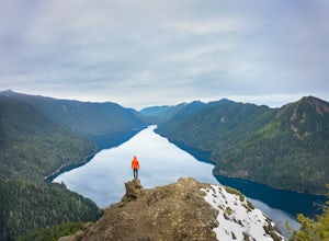
The campground is right at the very north end of Lake Crescent. It has bathroom and potable water, and for just $20 a night I think it is well worth it. Each campsite is equipped with a table and firepit (bring firewood). Open between May and October; first come first serve.
As for activities, t...
Read more
-
Salt Spring Island, British Columbia
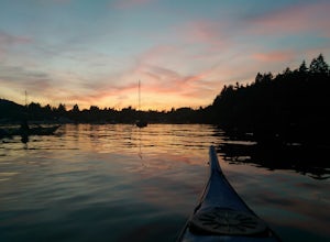
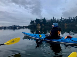
Salt spring island has plenty of amazing put in points for an afternoon of sea kayaking, but the ganges harbour is sheltered and easily accessible.For the put in points you have two options: The salt spring marina or churchill beach. Churchill beach would be the easier of the two with the added b...
Read more
-
Port Angeles, Washington
3.0
11.36 mi
/ 1138 ft gain
This versatile trail can adapt to your needs. It's can be an out-and-back hike, so you can make it as long as you like. If you do full distance, you are looking at an 8 mile day... OR, if you have two cars, you can park a car at either end of the trail and make it a 4 mile one-way hike.
This des...
Read more
-
Port Angeles, Washington
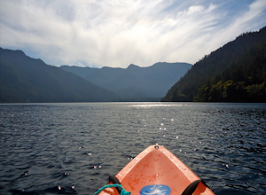
From the Log Cabin Resort located on the east shore of Lake Crescent, rent a kayak and spend the day on the water! My husband and I rented a kayak on our honeymoon for a day and explored half of the lake staying close to the east shore.You can see the bridge for the Spruce Railroad trail on the ...
Read more
-
Victoria, British Columbia
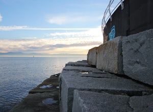
Accessible from downtown Victoria, The Breakwater at Ogden Point makes a fun, easy-access shore-dive. I've been freediving here a couple times now and have loved it each time. You can access the granite stepping blocks by a staircase on the left side (if you're facing the water) of The Breakwater...
Read more
-
Victoria, British Columbia
Victoria Harbor located on the southwestern tip of Vancouver Island, British Columbia is the southernmost port in Canada. Enjoying a moderate climate year round, one will quickly see why it is also known as Canada's busiest port. Pleasure boats, water taxis, large car and passenger ferries, tugbo...
Read more
-
Victoria, British Columbia
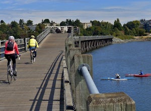
The Galloping Goose Regional Trail connects downtown Victoria, Canada to the former town of Leechtown. Part of the Trans Canada Trail (which traverses the entire country) the Galloping Goose follows the path of the former Canadian National Railway passing through the communities of Sooke, Metchos...
Read more
-
Victoria, British Columbia
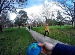
Beacon Hill Park is the jewel of Victoria's crown. Spanning 200 acres and connecting Downtown to the ocean alongside Dallas Road, Beacon Hill Park is one of the highlights of visiting the Capitol city on Vancouver Islands southern tip. Every corner of the park features unique flora, fauna and p...
Read more
-
Port Angeles, Washington
4.7
3.91 mi
/ 2251 ft gain
The trailhead is located right next to the Storm King ranger station adjacent to Lake Crescent right off Hwy 101 just past Port Angeles if heading West.
It shares the same trail as, and breaks off left from the Marymere Falls trail (also worth seeing) about a quarter mile in (look for signage). ...
Read more
-
Port Angeles, Washington
4.3
1.93 mi
/ 531 ft gain
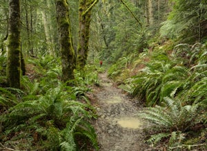
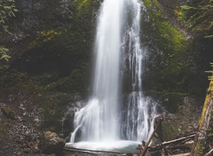
Marymere Falls (90 ft.) is located in Olympic National Park, near Lake Crescent. The falls can be accessed by a short, well-maintained dirt trail through old-growth lowland forest consisting of fir, cedar, hemlock, and alder trees. The creek descends from Aurora Ridge and tumbles over Marymere Fa...
Read more
-
Port Angeles, Washington
5.0
0.49 mi
/ 105 ft gain
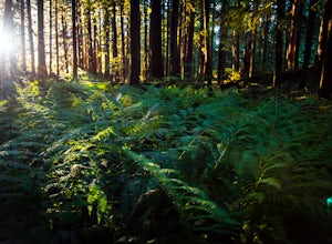
Great little hike to explore while in the Sol Duc area. I would strongly recommend doing this hike near sunset as the sun will stream through the trees and light everything up in a beautiful glow. The hike will take you to a cliff edge to walk along and get views of the Sol Duc river below.
Ver...
Read more
-
Nanaimo, British Columbia
4.8
2.69 mi
/ 558 ft gain
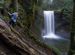
The falls cascades off of a sheet of rock that is filled with Ammonite fossils, thus the name Ammonite Falls!
The trailhead is very distinct and has a parking lot close to the start of the trail. From the Nanaimo Parkway (#19) head onto Jingle Pot Road. Follow that for a few kilometres and turn ...
Read more
-
Nanaimo, British Columbia
You can easily put Sugarloaf Mountain Park into your GPS when in Nanaimo, but lets, just say you have an old school map. First make your way from the Island Highway onto Departure Bay Rd. Just before you get to Hammond Bay Rd turn onto Little John Way and take your first left, then take your firs...
Read more

