Port Renfrew, British Columbia
Looking for the best camping in Port Renfrew? We've got you covered with the top trails, trips, hiking, backpacking, camping and more around Port Renfrew. The detailed guides, photos, and reviews are all submitted by the Outbound community.
Top Camping Spots in and near Port Renfrew
-
Port Renfrew, British Columbia
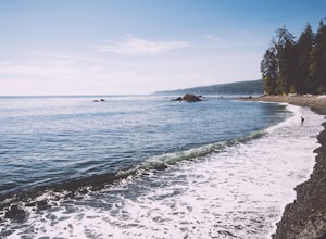
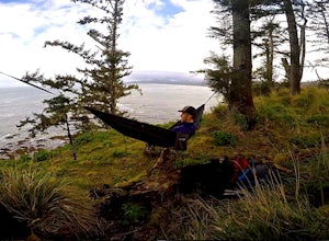
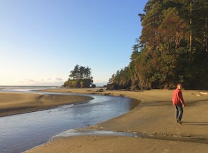
Camp and Surf at Sombrio Beach
5.01 miHeading west from Victoria, take the TransCanada Highway to Hwy 14. Continue past Sooke towards Port Renfrew. Look for the sign that reads Sombrio Beach Trailhead (approximately 45 minutes past Sooke) and take the left. Note that this dirt road can be incredibly rugged (aka full of potholes) and ...Read more -
Port Renfrew, British Columbia
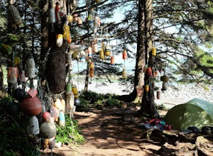
Hiking the Juan de Fuca Marine Trail
5.029.2 miThis is no walk on the beach. There are many ascents and descents that range from not so steep to hold on for your life as the mud cliff crumbles steep. You might think 200m of elevation gain isn't much, but it is a constant ascend and descend trail in the moderate-difficult sections.A high level...Read more -
Port Renfrew, British Columbia
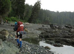
Backpack the West Coast Trail, Pacific Rim NP
46.6 mi / 360.9 ft gainIn the summer of 2016, myself and three others decided to hike the West Coast Trail (WCT) on a bit of a whim! We naively, and courageously, choose the WCT as our first major backpacking hiking trip - we thought it would be best to throw ourselves into a hike that has earned a reputation for being...Read more -
Sooke, British Columbia
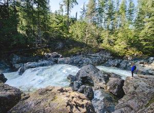
Hike and Swim at Sooke Potholes
4.2The Sooke Potholes seem to have something for everyone. Those seeking quick and easy beach access can enjoy short, well-groomed trails that lead straight to the pebble beaches from each of this spot’s multiple parking lots. There are also a number of paths leading to viewpoints overlooking the ri...Read more -
Youbou, British Columbia
Hike Heather Mountain
20.5 mi / 3822.2 ft gainHeather Mountain is a moderate well marked out and back hike through managed forest land. The hike brings a wonderful feeling of solitude as there are no towns or buildings visible even with distant views in all directions. It is also quite lightly tracked: we saw no other hikers on the entire r...Read more -
Neah Bay, Washington
Hobuck Beach
4.0Cape Flattery, the most northwesterly point of the lower contiguous 48 states is accessed via an easy trail which includes many board walks and sets of stairs. Maintained by the Makah Tribe of Indains, the trail provides spectacular views of the Pacific Ocean, Tatoosh Island, nearby rocky cliffs...Read more -
Cowichan Valley F, British Columbia
Camp at Nitinat Lake
Nitinat Lake is located about 70 km from Lake Cowichan on Vancouver Island. It's about a 2 h drive from Lake Cowichan with 1 h on logging roads. When you get close to Lake Cowichan, the highway splits into two possible routes, one on the south side of the lake, the second on the north side. Since...Read more -
Neah Bay, Washington
Backpack and Camp at Shi Shi Beach
5.04 mi / 200 ft gainIntroduction:My friends and I decided to head out to the Pacific Northwest (PNW) from Philadelphia to do some backpacking and beach camping. We choose Shi Shi Beach for it's terrific beach camping and extraordinary photography potential. Here is a rundown of the out and back, 2-night backpackin...Read more -
Clallam Bay, Washington
Backpack Washington's Ozette Triangle
5.09 mi / 300 ft gainStart at the north end of Ozette Lake and proceed right, following signs to the mostly flat trail leading to Cape Alava. Be sure not to head left towards Sand Point, that is the trail you will use for your return trip. Once you’ve reached the coast, scan the sky for the frequently seen bald eagle...Read more -
Port Angeles, Washington
Camp at Salt Creek
4.0This county park is great for day use or overnight camping. Half the campsites are about 20 feet from the water, so you can hear waves crashing on the rocks as you sleep.A short walk from all the sites going east, you will end up at a large field with picnic tables and a playground for kids (visi...Read more -
Port Angeles, Washington
Camp at Fairholme Campground
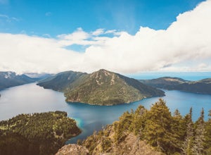
3.0The campground is right at the very north end of Lake Crescent. It has bathroom and potable water, and for just $20 a night I think it is well worth it. Each campsite is equipped with a table and firepit (bring firewood). Open between May and October; first come first serve. As for activities, t...Read more -
Alberni-Clayoquot A, British Columbia
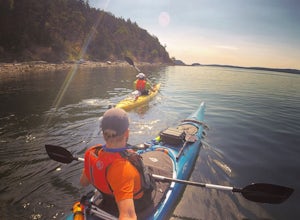
Kayaking the Broken Group Islands
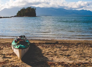
The Broken Group Islands are an internationally acclaimed sea kayaking destination. They can only be done properly on a multi-day trip and it’s not recommended for novice paddlers. The stunning archipelago located on the west coast of Vancouver Island features hundreds of islands, lagoons, caves,...Read more -
Port Angeles, Washington
High Divide and 7 Lakes Basin
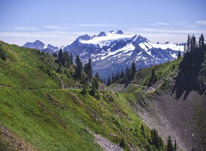
5.019.93 mi / 5056 ft gainA day spent plying the trails of the High Divide in Olympic National Park changes an outdoorsman. This moderate to strenuous loop boasts the best views on the peninsula, a chance to see foraging black bears and abundant deer, stunning waterfalls and marvelous old growth forests. By the time you f...Read more -
Friday Harbor, Washington
Kayak Camp on Stuart Island
5.0The northwestern-most point of the San Juan Islands, Stuart Island, is arguably the most gorgeous island to circumnavigate. Unfortunately, as Stuart Island is 16 miles away from the closest ferry port, there is no simple way to get there in one day. A couple of options to get there include:1) Onc...Read more -
Port Angeles, Washington
Olympic Hot Springs
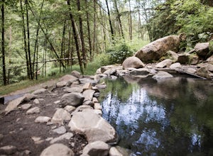
3.721.52 mi / 3556 ft gainA local favorite, this moderate day hike winds its way uphill from the Appleton Pass trailhead through old growth stands of fir, hemlock and cedar for 2.2 miles to a cluster of hot springs interspersed among the trees. Note: This route is now closed due to a washed out road. The current route is ...Read more -
Alberni-Clayoquot A, British Columbia
Hike to Keeha Beach
5.03.7 miFar on the west coast of Vancouver Island, accessed only by a harrowing dirt road, is a wild and rugged coast begging to be explored. Bamfield is about a 3 hour drive from Nanaimo, half of which is on the gnarliest (and most active) logging road I've ever been on - and I grew up driving on loggin...Read more

