Pender Island, British Columbia
Looking for the best hiking in Pender Island? We've got you covered with the top trails, trips, hiking, backpacking, camping and more around Pender Island. The detailed guides, photos, and reviews are all submitted by the Outbound community.
Top Hiking Spots in and near Pender Island
-
North Vancouver, British Columbia
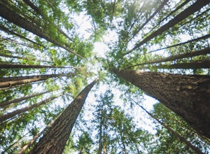
Hike the Lynn Canyon Loop
4.44 miThe Lynn Canyon Loop is a 5km trail that takes you up through the dense forest before looping back along the rushing water of the river.There are several trail systems throughout Lynn Headwaters Regional Park, that cater to every ability. Depending on what you're looking for, Lynn Canyon can prov...Read more -
North Vancouver, British Columbia
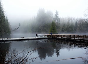
Hike Rice Lake
3.4Walk down Rice Lake Road, cross the bridge, and follow the pathway towards the park ranger buildings. Past the buildings you will find a gravel path going into the trees, which will take you towards a fence beside the trail. Continue on the path towards the lake, while the trees and moss along th...Read more -
Anacortes, Washington
Pacific NW Trail in Deception Pass State Park
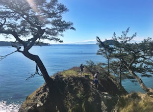
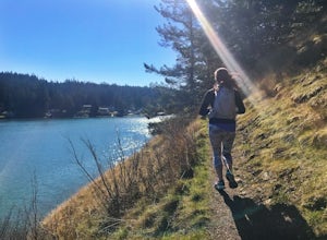
5.02.12 mi / 259 ft gainStarting from the Rosario Beach parking lot, the trail heads out past a large recreation area for families and into a wooded area leading up to Rosario Head. At this point in the trail there are beaches on either side that provide a great opportunity to explore some tidal pools. If you choose to...Read more -
Bowen Island, British Columbia
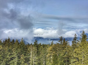
Hike Mount Gardner on Bowen Island
10.6 mi / 2358.9 ft gainMount Gardner is the highest point on Bowen Island. I love visiting Bowen. It is a 20 minute ferry ride from Horseshoe Bay but feels a world’s away from the city. I climbed to the top of Mount Gardner a few years ago during the summer, but had yet to do it in the winter. I was excited to see wha...Read more -
West Vancouver, British Columbia
Snowshoe Hollyburn Mountain
5.06.5 mi / 450 ft gainPark in the Hollyburn cross country parking lot and start your hike up the under the powerlines. After about 15 mins the trail will flatten out and you will arrive at the warming hut. Take a left and follow the orange markers as it slowly weaves its way through a series of trees and valleys.Event...Read more -
North Vancouver, British Columbia
Hike to Norvan Falls
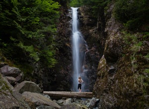
4.38.7 miThe trail starts in Lynn Headwaters Regional Park. This is a fantastic day hike that give you just enough of a challenge but isn't too long. It's about 14km to the norvan waterfalls and back ( 7km each way) and it totally work the walk. There is very minimal gain on this hike. The first bit of th...Read more -
Oak Harbor, Washington
Camp & Hike at the Deception Pass Headlands
5.05 miTHE TRAIL: On the north side of the bridge, you'll come across Rosario Rd. Take this down to the Bowman Bay parking lot and your trailhead begins here. Take a moment to walk out on the fishing pier or watch what people are catching before you continue south on the trail towards Lottie Bay/Lightho...Read more -
North Vancouver, British Columbia
Hike Crown Mountain
5.06.1 mi / 1263.1 ft gainYou can take the gondola up Grouse Mountain and then hike from there which roughly takes around 5 hrs at a decent pace. The hike is a hard one that is a lot of up and down and a fair bit of climbing.You can start at the top of the Skyride on Grouse Mountain, follow the paved path to the grizzly b...Read more -
4399 Bowman Bay Road, Washington
Hike or Run the Lighthouse Point Trail
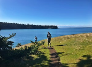
5.01.9 mi / 285 ft gainThe Lighthouse Point Trail is yet another offshoot of Deception Pass Park’s wonderful trail system, which weaves itself through the northern corners to the southern ends of the park’s expansive walking paths. Perfect for families and for adventurers just getting their hiking legs warmed up for th...Read more -
15671 Rosario Road, Washington
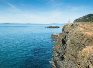
Hike or Run Lottie Point Loop
1.5 mi / 50 ft gainOne of the best routes to add to your itinerary when exploring Deception Pass State Park, one of Washington’s most popular year-round camping, hiking, and kayaking destinations; The Lottie Point Loop trail is a great offshoot of a larger trail system that takes you across soaring cliffsides and a...Read more -
North Vancouver, British Columbia
Hike Goat Mountain
4.05 mi / 984.3 ft gainGoat Mountain is a picturesque hike that starts from the top of the Grouse Mountain Ski Resort. On a sunny, clear day, the top of Goat Mountain can offer views of Vancouver and even as far away as Mount Baker, Vancouver Island, and some of the mountain ranges in Garibaldi Provincial Park near Squ...Read more -
Oak Harbor, Washington
North Beach Trail
4.01.4 miA strait separating Whidbey Island from Fidalgo Island, Deception Pass and the bridges that span it are a fascinating day trip from Seattle. Located 82 miles from Seattle, a 90 minute drive will get you to the Deception Pass State Park. Once here, there are a myriad of activities to do - explore ...Read more -
Goose Rock Perimeter Trail, Washington
Hike or Run Goose Rock
2.5 mi / 482 ft gainDeception Pass State Park is one of Washington state's favorite year-round destinations; Beachside camping, salt-water kayaking, and plenty of short, accessible trails with endless views of the strait. Goose Rock, the tallest point on Whidbey Island, is just southeast of the Deception Pass bridge...Read more -
Oak Harbor, Washington
Photograph the Deception Pass Bridge
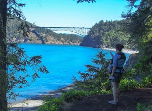
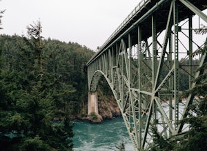
4.5Once you've parked your car, there is a $10 fee which can be paid at the station right next to the bridge unless you have a Discover Pass. From there, you can either go down the stairs to the beach or continue to walk across. Towards the middle, there are some stairs to get down and take some pho...Read more -
West Vancouver, British Columbia
St Mark's Summit
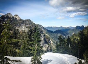
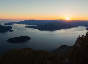
4.46.45 mi / 1801 ft gainFrom the Cypress Mountain downhill parking lot, head north toward the nearby chairlift and look for the Howe Sound Crest Trail sign. The trail follows alongside the several ski runs until a sign that points to the right to the Howe Sound Crest Trail. Follow this trail uphill until it merges onto ...Read more -
West Vancouver, British Columbia
Hiking the Howe Sound Crest Trail
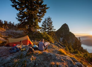
18 mi / 6000 ft gainDistance: 18 miles / 29 kms.Duration: 1 - 3 DaysElevation Gain: 6000 ft. / 1800 m.Magnesia Meadows: 49.483708, -123.190377The Howe Sound Crest Trail (HSCT) is one of the most epic hiking trips one can do in the Vancouver area. The trail is entirely located within the Cypress Mountain Provincial P...Read more

