Pender Island, British Columbia
Looking for the best hiking in Pender Island? We've got you covered with the top trails, trips, hiking, backpacking, camping and more around Pender Island. The detailed guides, photos, and reviews are all submitted by the Outbound community.
Top Hiking Spots in and near Pender Island
-
Anacortes, Washington
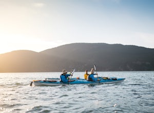
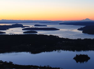
Kayak Camp on Cypress Island
16 miWe set out from the town of Anacortes, WA from Seafarers Memorial Park with a group of 6 people. Two in single kayaks and four in two tandem kayaks. After setting out into the water, keep to the west of Guemes island and follow the shoreline for a shorter trip or follow the east side for a longer...Read more -
Sooke, British Columbia
Hike East Sooke Park
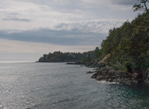
Sitting very close to the southernmost point of Vancouver Island, facing west towards the mouth of the Strait of Juan de Fuca and the open Pacific Ocean, East Sooke Park is a unique and magical place for a hike or trail run. Your first visit will spark the desire to keep returning, to keep explor...Read more -
Sooke, British Columbia
Hike Whiffin Spit
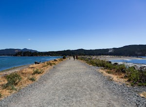
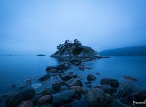
1.5 mi / 0 ft gainLocated in Sooke, between the Sooke Harbour and the Juan de Fuca Strait is Whiffin Spit Park. An easy 2.4km out and back trail with minimal elevation gain that you can walk to the end and back in about an hour. The dog-friendly gravel trail takes you down the spit to the end where you will find a...Read more -
North Vancouver, British Columbia
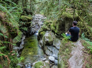
Swim at the Lynn Canyon Swimming Hole
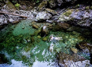
4.50.6 mi / 50 ft gainFrom the last field at inter city park, continue walking down the road to the Lynn Canyon trail. Follow the trail up the wooden boardwalks and to the first open area on the trail. When you can see the creek to your left, head down to the creek. To get to this particular swimming hole, you will ha...Read more -
West Vancouver, British Columbia
Hike to Cypress Falls in West Vancouver
4.03.1 mi / 400 ft gainDrive the the end of Woodgreen Pl in West Vancouver, and you will pass the tennis courts on your right. You will see a little dirt road that heads up into the woods on your left - drive up this road ~30 feet into the parking lot. From the Parking lot, hike up the trail beside cypress creek (this ...Read more -
North Vancouver, British Columbia
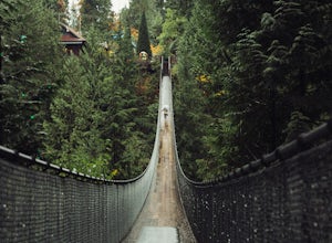
Explore the Capilano Suspension Bridge
3.8This is a great place to visit to get a feeling for the outdoors of Canada. The bridge is a little scary when a lot of people are walking across, but it is well worth the look.Measuring 140 m (460 ft) long, the bridge crosses over the Capilano River in the District of North Vancouver, British Col...Read more -
Bellingham, Washington
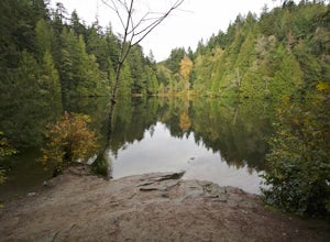
Hike to Fragrance Lake
4.75.5 mi / 950 ft gainTake Chuckanut Drive to the trailhead which is located directly across from the entrance to Larrabee State Park. A small lot in front of the trail has space for 8-10 cars, or you can park at the State Park and walk across the road (carefully!) to reach the trailhead. Either way you will need a Di...Read more -
Anacortes, Washington
Hike to the Summit of Mt. Erie
4.05 mi / 900 ft gainTo start this hike, jump on trail 215 for a short distance of about a 1/4 mile. From here, continue until you cross trail 320 and head left onto it. Stay on 320 until you come across trail 230.Take 230 uphill (resembles an old fire road) toward the ravine just above a creek. From here, head onto ...Read more -
West Vancouver, British Columbia
Hike Up Brothers Creek Loop
4.3 mi / 1312.3 ft gainThe directions to get to this location are a bit scattered as you need to weave through the upper streets of the British Properties. Driving Instructions If you are coming along Highway #1, take the Taylor Way exit and turn right (coming from the east) or left (coming from the west) onto Taylor W...Read more -
Belcarra, British Columbia
Hike the Jug Island Trail
4.7From the parking lot at Belcarra Regional Park, follow the Jug Island Trail. It is well marked and well walked so it's near impossible to wander off in the wrong direction! The beach near Jug Island is at the very tip of the peninsula and offers beautiful views of the Indian Arm and surrounding m...Read more -
Belcarra, British Columbia
Hike to Jug Island
3.4 mi / 328 ft gainPark your car at the Belcarra Regional Parking Lot and head into the forest. There will be a trail marker beside the playground. Walk about 5 mins along this trail and cross the road. There will be two trails - take the one on the left and follow this trail uphill. The trail is very well marked a...Read more -
Anacortes, Washington
Hike Sares Head
2.1 mi / 440 ft gainStarting at the parking area, there is a roughly 2 mile hike through the woods. Depending on which route you take, you will suddenly end up at one of many incredible view points looking West at the Olympic Mountains, open ocean, and the San Juan Islands. In some areas you will be about 150 feet a...Read more -
Bellingham, Washington
Hike to Pine & Cedar Lakes
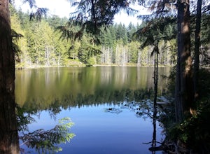
5.05 mi / 1400 ft gainThese two quaint lakes in the Chuckanuts are a must-do for people looking for a day hike, short camping trip or steep trail run in the Bellingham area. Starting at the trailhead off of Old Samish Road, one begins the 2 mile ascent to the two lakes. The first 1,400ft climb has its fair share of up...Read more -
Belcarra, British Columbia
Hike the Springboard Trail and Explore Woodhaven Swamp
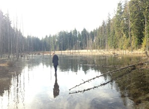
5.9 mi / 1312.3 ft gainFrom the parking lot at Woodhaven Swamp, head down the wooden steps to the lower path and then follow the path clockwise, passing over a small boardwalk bridge at the east end of the wetland. At the west side of the swamp, look out for a smaller trail that veers off on the left and follow that as...Read more -
West Vancouver, British Columbia
Explore WhyteCliff Park, West Vancouver
4.4Escape to the vanishing horizon of the Pacific Ocean, where time is measured by the rhythm of waves.Located near West Vancouver's Horseshoe Bay neighbourhood, Whytecliff Park is home to more than 200 marine animal species and is one of the first Marine Protected Areas in Canada. You're almost gua...Read more -
North Vancouver, British Columbia
Hike Quarry Rock
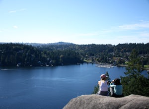
3.82.4 mi / 328.1 ft gainDeep Cove is a cozy little town located at the base of Mt. Seymour, lying on the shores of the Indian Arm which is a branch of the Burrard Inlet in North Vancouver. In autumn, the tree-lined streets glow orange in the sunlight and the sailboats, kayakers and paddleboarders fill the harbour with ...Read more

