Nanaimo, British Columbia
Top Spots in and near Nanaimo
-
Errington, British Columbia
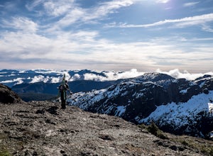
The starting point depends a lot on the time of year and snow level. On a bad snow year you can get all the way to the old ski area base. Depending on the road conditions, however, be prepared to snowshoe/skin in anywhere from an extra 3 to 5 km (2-3 mi). The Rousseau Chute route is an alternativ...
Read more
-
Nanaimo F, British Columbia
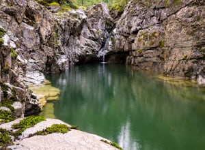
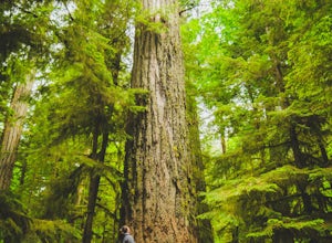
Little Qualicum Falls Provincial Park is just off the #4 highway on your way out to Port Alberni. Simply look for the signs indicating Little Qualicum Falls Provincial Park, and you will turn into the park before Cameron Lake.Easily accessible by everyone, this park can get busy in the summer mon...
Read more
-
Salt Spring Island, British Columbia
From Ganges head south on Fulford-ganes road toward Fulfrod harbour. Turn right on Dukes road then a right on Seymour Heights. Seymour Heights turns into a dirt road, with a number of pot holes but nothing a non 4x4 car can't handle. At the trail head there is a small turn around and not a ton of...
Read more
-
Cowichan Bay, British Columbia
There is a reason the town of Cowichan Bay is a popular destination for visitors and locals alike. The town boasts stunning views across the bay, of the Cowichan River estuary, the beautiful marina, and has a variety of restaurants, a candy shop and bakery. Start off by grabbing a bite to eat at ...
Read more
-
Errington, British Columbia
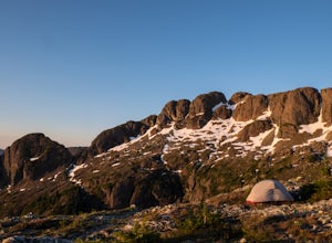
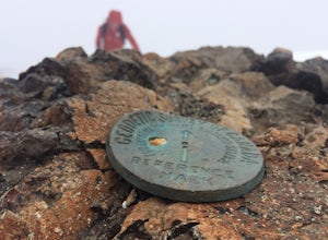
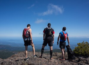
Mt. Arrowmsith's claim to fame is the tallest mountain on "southern" Vancouver Island. Standing at 1,819 m (6,000 ft), it barely squeezes into the top 50 of the Island, as it stands no chance against the peaks of Strathcona, which you can see gazing north from the summit!The advantage of Arrowsmi...
Read more
-
Errington, British Columbia
Mount Arrowsmith resides in the heart of Vancouver Island between Nanaimo and Tofino within the Alberni Valley region. At the height of 1817m this peak boasts being the tallest point on the southern half of the island. With it's easy access it is surely the most visited and summited mountain on t...
Read more
-
Nanaimo F, British Columbia
5.0
12.4 mi
/ 1000 ft gain
The trail from Cameron Lake to the top of Mount Cokely (5302') provides the most ready access to the alpine on Southern Vancouver Island. The route is straightforward and non-technical, albeit physically challenging. Expect to spend 6-8+ hours if hiking the entire route described below (which we ...
Read more
-
Vancouver, British Columbia
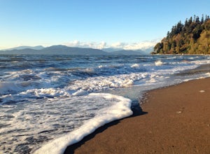
Located on UBC Vancouver campus, Wreck Beach is the only nude beach in Canada. It is a popular destination for students and the public, and is home to the best sunsets seen in Vancouver.To get to the beach, there is a descent of approximately 500 stairs, so be cautious - going down means having t...
Read more
-
Bowen Island, British Columbia
Head out to Horseshoe Bay, and catch the ferry out to Bowen Island (Snug Cove). As you get off the ferry you will see a parking lot immediately to your left. If there is no parking there, there is some further up the road just before the local grocery store. Make your way back to the harbor, and ...
Read more
-
Bowen Island, British Columbia
Head over to Bowen Island, via a ferry from the Horseshoe Bay Departure Terminal. A short drive up Miller Road will lead you to Nectar Yoga BnB. They offer two classes a day, one in the morning and one in the evening. The times vary, but are usually around 9:00 AM and 4:30 PM. They are for all sk...
Read more
-
West Vancouver, British Columbia
To get to Lighthouse Park, head westbound along Marine Drive in West Vancouver. As Marine Drive continues past little shops and businesses, it will begin to narrow and the road will wind around the coastline. Continue past Caufield Cove Marina and watch for the Lighthouse Park sign on your left. ...
Read more
-
West Vancouver, British Columbia
Escape to the vanishing horizon of the Pacific Ocean, where time is measured by the rhythm of waves.Located near West Vancouver's Horseshoe Bay neighbourhood, Whytecliff Park is home to more than 200 marine animal species and is one of the first Marine Protected Areas in Canada. You're almost gua...
Read more
-
West Vancouver, British Columbia
Drive the the end of Woodgreen Pl in West Vancouver, and you will pass the tennis courts on your right. You will see a little dirt road that heads up into the woods on your left - drive up this road ~30 feet into the parking lot. From the Parking lot, hike up the trail beside cypress creek (this ...
Read more
-
Nanaimo F, British Columbia
This park is a great stop right on the side of highway 4 heading to or from the Tofino area. If you are heading to Tofino on Vancouver Island, this park is hard to miss. There are signs for it and easy parking on the side of the highway. There are two loop trails on either side of the highway, an...
Read more
-
Salt Spring Island, British Columbia
From the Fulford ferry terminal, turn left onto Morningside Drive and follow the road to the end, where you’ll find a small area to park your car. From here, head up towards the subdivision and keep an eye out for the trail marker on your left, located 100m past the gate into Reginald Hills Estat...
Read more
-
Duncan, British Columbia
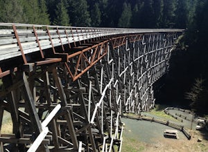
The Kinsol Trestle is a highlight of the Cowichan Valley Trail, which travels from Shawnigan Lake to Lake Cowichan and then onward to Duncan. The trestle is easily reached via a 1.3km, wheelchair accessible section of the CVT from the trailhead on Renfew Road. Originally built in 1911 for the r...
Read more

