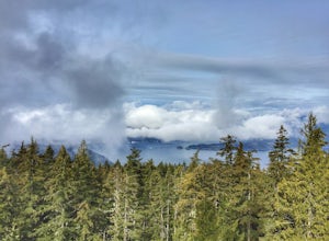
Errington, British Columbia
Looking for the best running in Errington? We've got you covered with the top trails, trips, hiking, backpacking, camping and more around Errington. The detailed guides, photos, and reviews are all submitted by the Outbound community.
Top Running Spots in and near Errington
-
Nanaimo F, British Columbia
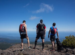
Summit Mt. Cokely via the Historic CPR Trail
5.012.4 mi / 1000 ft gainThe trail from Cameron Lake to the top of Mount Cokely (5302') provides the most ready access to the alpine on Southern Vancouver Island. The route is straightforward and non-technical, albeit physically challenging. Expect to spend 6-8+ hours if hiking the entire route described below (which we ...Read more -
Nanaimo, British Columbia
Hike to Ammonite Falls
4.82.69 mi / 558 ft gainThe falls cascades off of a sheet of rock that is filled with Ammonite fossils, thus the name Ammonite Falls! The trailhead is very distinct and has a parking lot close to the start of the trail. From the Nanaimo Parkway (#19) head onto Jingle Pot Road. Follow that for a few kilometres and turn ...Read more -
Alberni-Clayoquot F, British Columbia
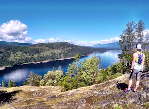
Run the Alberni Inlet Trail
14.9 mi / 3937 ft gainI have lived on Vancouver Island my entire life yet I had never heard about this world class trail until last summer. A 24km point to point coastal trail that travels the length of the Alberni Inlet from the coast right to the town? Through paradise meadows, along sun drenched bluffs, past water...Read more -
Denman Island, British Columbia
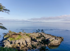
Hike through Boyle Point Provincial Park
5.02.2 mi / 115 ft gainBoyle Point Provincial Park is located on Denman Island British Columbia Canada. To get there you take the Denman Island Ferry from Buckley Bay off Hwy #19A on central Vancouver Island. Take the Buckley Bay exit #101 from Hwy #19A. Once on the island, follow Denman Road to the Hornby Island Ferry...Read more -
Fanny Bay, British Columbia
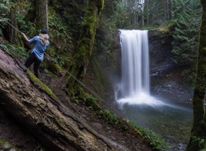
Rosewall Creek Falls
4.33.84 mi / 515 ft gainStarting at the Rosewall Creek Provincial Park parking lot you take the trail upstream of the creek passing under the inland island highway bridge. This trail eventually leads out of the provincial park boundary, but don't worry you haven't gone too far. It is about a 7 km roundtrip hike and the...Read more -
Denman Island, British Columbia
Explore Fillongley Provincial Park
4.01.6 mi / 60 ft gainFillongley Park is located on Denman Island. To get there take the Denman Island Ferry from Buckley Bay, off Hwy #19A on central Vancouver Island. Take the Buckley Bay exit #101 from Hwy #19A. Once on the island, follow Denman Road to Swan Road. Turn left on Swan Road, then right on Beadnell Road...Read more -
Comox, British Columbia
Run at Goose Spit Regional Park
5.0For a mid week adventure that is closer to home, nothing beats a climb up the stairs at Goose Spit Regional Park. The Goose Spit stairs are a fantastic addition to the Comox Valley's urban playgrounds, beaches, trails and green spaces. There are 165 steps to the main lookout, with an additional 2...Read more -
Comox-Strathcona C, British Columbia
Hike Mount Becher
Trail access begins at the end of Forbidden Plateau Road, at the site of the old abandoned ski lodge. It is an ugly place to begin a hike to such a beautiful summit, but do not let that deter you. Past the trash of forest parties, around the remnants of the old ski lodge and over the washed out r...Read more -
Bowen Island, British Columbia
Hike Mount Gardner on Bowen Island
10.6 mi / 2358.9 ft gainMount Gardner is the highest point on Bowen Island. I love visiting Bowen. It is a 20 minute ferry ride from Horseshoe Bay but feels a world’s away from the city. I climbed to the top of Mount Gardner a few years ago during the summer, but had yet to do it in the winter. I was excited to see wha...Read more

