East Kootenay G, British Columbia
Looking for the best photography in East Kootenay G? We've got you covered with the top trails, trips, hiking, backpacking, camping and more around East Kootenay G. The detailed guides, photos, and reviews are all submitted by the Outbound community.
Top Photography Spots in and near East Kootenay G
-
Kananaskis, Alberta
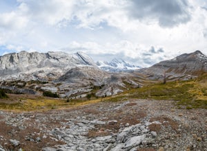
Exploring Burstall Pass
5.0Head to the northwest corner of the parking lot to find the trail. For the first 5.5 km the trail is quite easy, with only modest elevation increase. At 5.5 km you will arrive at what is known as the gravel flats. Depending on the time of year the gravel flats can be either quite dry or a wide, s...Read more -
Kananaskis, Alberta
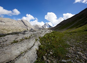
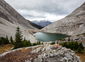
Hiking Burstall Pass
5.09.3 mi / 1542 ft gainThe trail begins along the berm beside Mud Lake. After a rather uninspiring 3 km (you can mountain bike this part) the trail narrows and enters trees where tangled roots twist across the path and you breathe in the smells of damp earth and moss.Ten minutes later the trail spits you across a spl...Read more -
Lake Louise, Alberta
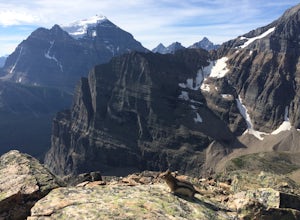
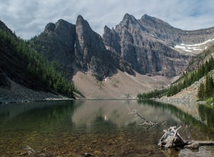
Plain of Six Glaciers
4.68.96 mi / 1565 ft gainStarting from the parking lot on the east end of Lake Louise, there are a few options you can take to get to the Plain of Six Glaciers. One is to head directly along the lakeshore trail, and in about 7 km (4.2 miles) you will be at the lookout offering the best vantage point of the glacier field....Read more -
Lake Louise, Alberta
Hike Fairview Mountain
7.1 mi / 3280.8 ft gainFairview Mountain is a non-technical objective alpine summit located on the south side of Lake Louise. It's trailhead is accessed from the Lake Louise parking lot. The trail is well established and well marked throughout. You can expect a distance of about 11km return and elevation gain of 1000m,...Read more -
Lake Louise, Alberta
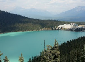
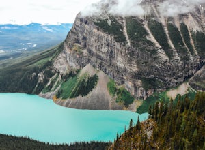
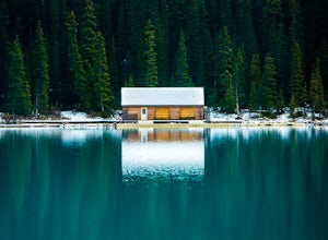
Hike to the Lake Louise Overlook
5.02 mi / 500 ft gainThis is a fairly steep, short hike that gives you a great view of Lake Louise. The hike begins right behind the canoe rental shop on the South side of the lake. The trail is very easy to follow and there are quite a few people that hike it. The hike is an hour and half round trip. The hike leads...Read more -
Field, British Columbia
Backpack Burgess Pass to the Iceline to Takakkaw Falls
5.042.3 miThis hike begins at a trailhead 1.5 km (0.9 mi) from Field, B.C., Canada. When heading west on the Trans Canada Highway towards Field, turn right 1.5 km before Field onto a small dirt road. Immediately turn left and continue driving straight for 500 m (0.3 mi) to a small open area for parking at ...Read more -
Lake Louise, Alberta
Hike to Big Beehive
5.06.2 mi / 1710 ft gainThe hike to Big Beehive begins at the base of Lake Louise. From the parking lot, hike along the paved trail on the northeastern shore of Lake Louise. The Fairmont Chateau Hotel will be to your right with the lake to your left. Continue toward the junction for the Lake Agnes Trail. Keep right t...Read more -
Lake Louise, Alberta
Hike to the Devils Thumb
5.0Park in the main Lake Louise parking lot. Be sure to have purchased your Park Pass. These can be purchased as you enter Banff National Park, or at the Banff and Lake Louise Information Centers. Follow the paved path along the lake shore in front of the Hotel, Chateau Lake Louise. At 0.8 km you wi...Read more -
Improvement District No. 9, Alberta
Scramble up Mount Niblock
5.09.3 mi / 4068.2 ft gainThousands of tourists flock to Lake Louise and Lake Agnes every year (maybe even every month) and by scrambling Mount Niblock you'll see the same magnificent sites while leaving the crowd behind and seeing so much more!Mount Niblock offers a bit of a challenge in that there are some rock ribs tha...Read more -
Improvement District No. 9, Alberta
Devil's Thumb Scramble
7.09 mi / 2575 ft gainPark in the visitor parking lot at the Chateau Lake Louise parking lot in time for sunrise at Lake Louise...not to be missed! Then follow the pathway to the right around the lake to the Lake Agnes turnoff (well marked, with a small bronze statue at the intersection.) The waterfall is just befor...Read more -
Lake Louise, Alberta
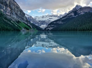
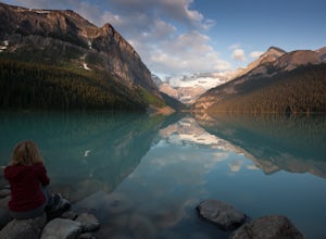
Exploring Lake Louise
4.6Lake Louise is one of the most photographed lakes in Canada, with reason. Many tourist walk the paved path round and head home. They miss out though. Hiking to the various tea houses surrounding the lake is a must. An easy 2 mile hike from the lake lies a tea house perched on a hill in a tight ci...Read more -
Kananaskis, Alberta
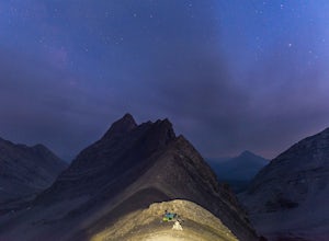
Backpack the Fortress Cirque
5.012.19 mi / 3507 ft gainNo better way to watch the stars with friends than huddled up in your sleeping bag on top of a 3000m summit. This describes the bivy at The Fortress. Starting at the Chester Lake Trailhead, take the unmarked trail on the right side of the parking lot. These winter cross-country ski trails take y...Read more -
Kananaskis, Alberta
Hike from Headwall Lakes to Chester Lake
5.010.6 mi / 2650.9 ft gainThe hike starts at the Chester Lake trailhead along the Smith Dorian road in Kananaskis. The first few kilometers follow the old logging roads, now used as cross country skiing trails. Find the beginning of the trail at the upper right end of the parking lot, and continue to follow parallel to t...Read more -
Kananaskis, Alberta
Scramble the Fortress
Have you ever done a hike where you just don't want the day to end? Scramble the Fortress and you'll know the feeling. The thing that drew me to the Fortress was its summit elevation of 3000 masl, as well as its blocky, fortress-like profile when viewed from the north. It's so much more than that...Read more -
Improvement District No. 9, Alberta
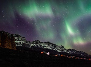
Explore Lake Minnewanka
4.2Head up to Lake Minnewanka on a high alert night to get the perfect view of the Canadian Northern Lights. You can go online to get updates on the best times to go and where they will be the brightest. While the dam at the lake may be overrun with people, explore around and you can find a nice emp...Read more -
Canmore, Alberta
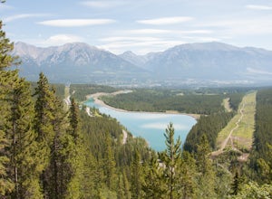
Hike to Grassi Lake
4.52.4 mi / 820.2 ft gainTo get to the Grassi Lake trailhead, continue past the Nordic Center about 2km and take a small left when you reach a junction between a gravel road and a paved road. You want to be on the paved road, as this will lead you down to the Grassi Lake parking lot. The trail starts right behind the res...Read more

