East Kootenay G, British Columbia
Looking for the best photography in East Kootenay G? We've got you covered with the top trails, trips, hiking, backpacking, camping and more around East Kootenay G. The detailed guides, photos, and reviews are all submitted by the Outbound community.
Top Photography Spots in and near East Kootenay G
-
Kananaskis, Alberta
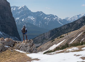
Hike Spencer Creek
2.5 mi / 1968.5 ft gainSouth of the Driftwood turnoff (approximately 4 km) on Spray/Smith-Dorrien Trail a large creek bed on the east of the road is the beginning of Spencer Creek. The trail is easy enough to find, just have to do a bit of looking.Once on the trail, you'll basically have no trouble at all. The trail it...Read more -
Kananaskis, Alberta
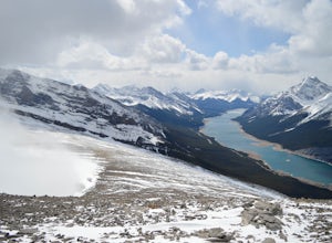
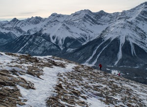
Hike up Windtower Mountain
5.06.2 mi / 3182.4 ft gainSpray Lakes is one of my favorite areas in Kananaskis, and the view of Spray Lakes from the summit is absolutely breathtaking.The trailhead is located along the Smith-Dorrien Trail (Spray Lakes Road) – look for a yellow sign on the eastern side of the road, about 1 mile (1.5 km) south of the Drif...Read more -
Field, British Columbia
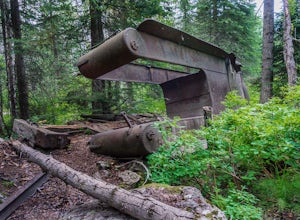
Hike "A Walk in the Past Trail," Yoho NP
3.02 mi / 396 ft gainThe trail begins towards the backside of Kicking Horse camp area near the washrooms. Please know that access to this area is typically closed between October and June. Look for the large trail sign and be sure to grab a brochure to enjoy the self-guided tour. The brochures may not be available, ...Read more -
Improvement District No. 9, Alberta
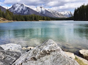
Hike to the Hermit of Inglismaldie
4.02 mi / 34 ft gainAs you drive towards Johnson Lake, the road will end at a parking lot where you should park. There are restrooms and picnic tables located in this same area. Due to the low elevation, the trail around Johnson Lake is a gentle walk, but trail conditions should always be checked especially during ...Read more -
Improvement District No. 9, Alberta
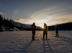
Snowshoe to Johnson Lake
2 miThis is a well-traveled hike, so if you stay on the path, you'll likely need only a good pair of boots. However, in the middle of winter, the lake freezes solid, and you might enjoy exploring a little out on the frozen lake like we did. Snowshoes definitely came in handy out there.This is a very ...Read more -
Improvement District No. 9, Alberta
Drive the Icefields Parkway
5.0145.45 mi / 6293 ft gainThe Icefields Parkway has been named One of the World's Most Scenic Drives by National Geographic and with all the scenic hikes, stops, and viewpoints, it's easy to see why. Starting at Lake Louise, a friend and I decided to drive up the Icefields Parkway which goes through Banff National Park i...Read more -
Improvement District No. 9, Alberta
Bike the Icefields Parkway
The Icefields Parkway is a spectacular highway to ride (you can see the short video here). The shoulders are wide and well paved. Drivers are typically courteous, slowing down and giving you space as they pass, making the ride a great deal more enjoyable. Starting in Jasper you load up your bike,...Read more -
Improvement District No. 9, Alberta
Explore Bankhead Ghost Town
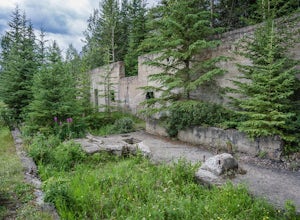
5.00.81 mi / 37 ft gainBankhead is a ghost town which flanks Cascade Mountain and lies just south of Lake Minnewanka in Banff National Park. The main portion of the ghost town is located in Lower Bankhead, which can be reach by traveling North on Range Rd 1158 (closed Nov - Apr), following the signs to Lake Minnewanka....Read more -
Improvement District No. 9, Alberta
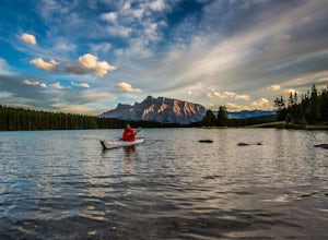
Kayak Two Jack Lake
4.2Of all the lakes in the Banff area, this was one of my favorites to get out on the water. Don't expect the bright blue glacial waters of some of the other lakes in the Canadian Rockies, but the water is pristine and it was one of the few places I went where it felt like it was all locals hanging...Read more -
Kananaskis, Alberta
Snowshoe the Kent Ridge North Outlier
3.7 mi / 2395 ft gainAttempt this in a winter with some great snowfall and you might be able to get some great shots of the beautiful cornices that form on the ridge.The trailhead is at the north end of the Sawmill Parking lot right by the outhouses. It heads past a metal gate to a maze of old logging roads. The prop...Read more -
Columbia-Shuswap A, British Columbia
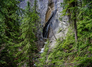
Hike to Hamilton Falls, Yoho NP
4.01.76 mi / 474 ft gainHamilton Falls trail sign is across the parking lot from Emerald Lake and points you in the direction of the trail. The trail will start with a gentle incline which immediately places you into a lush forest as the noise of tourism begins to fade. Approximately 0.4 miles up the trail, you will rea...Read more -
Field, British Columbia
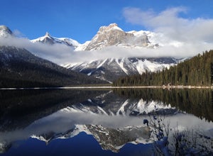
Hike the Emerald Lake Circuit
5.03.2 miEmerald Lake is without a doubt one of the most beautiful lakes in the Canadian Rockies and is the jewel (see what I did there...) of Yoho National Park. The circuit surrounding the lake allows great opportunities for pictures and views from all sides.Getting there: Just west of Field, BC turn of...Read more -
Canmore, Alberta
Mount Lady Macdonald Scramble in Winter
3.5The Mount Lady Macdonald trail begins at Cougar Creek, starting out as a leg burner through the forest, then meandering through boulders, halfway up. The boulders, sparse forest, and views of the Bow River Valley make for a classic mountain landscape that isn't always offered by forested walks to...Read more -
Canmore, Alberta
Trail Run on the Wind Ridge-Bow Valley
8.4 miWind Ridge is a 7,217 ft / 2,200 m mountain peak near Canmore, Alberta, Canada, with spectacular views into the Bow Valley. The trail is primarily used for hiking and is accessible from May until November.Take the Spray Lakes Road from the town of Canmore for 22km. The trail head is just below th...Read more -
Canmore, Alberta
Hike Grotto Mountain
7.5 mi / 4429.1 ft gainFrom Highway 1A take the exit to the Alpine Club of Canada. Park near the woodpile as the actual parking lot is for Alpine Club customers. The trailhead about 30 metres up the road from the woodpile.The start of the trail is fairly relaxed but it quickly becomes a steep uphill battle. There are t...Read more -
Kananaskis, Alberta
Hike up Galatea Creek to Lillian Lake
Located on Highway 40 (Kananaskis Trail) and marked by the "Galatea" sign, there's not much more to this hike other than putting one foot in front of the other, but the amount of traffic it sees is a testament to the quality of this hike.Even on the backend of winter the numerous shades of green ...Read more

