Columbia-Shuswap A, British Columbia
Looking for the best photography in Columbia-Shuswap A? We've got you covered with the top trails, trips, hiking, backpacking, camping and more around Columbia-Shuswap A. The detailed guides, photos, and reviews are all submitted by the Outbound community.
Top Photography Spots in and near Columbia-Shuswap A
-
Rogers Pass, British Columbia
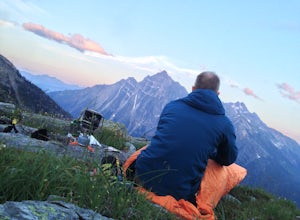
Camp at Hermit Meadows
4 mi / 2559.1 ft gainThe trail head is located between the Rogers Pass Discovery Center and the Tupper. It's a good idea to head into the Discovery Center first and book the campsites as they do require pre-booking to use, and the fines can be steep. Campfires are banned at this campsite as it is a fragile alpine eco...Read more -
Field, British Columbia
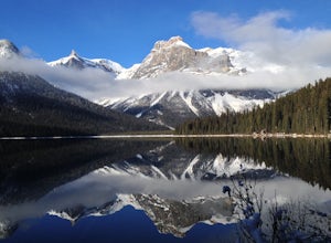
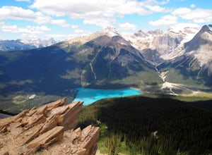
Hike the Emerald Lake Circuit
5.03.2 miEmerald Lake is without a doubt one of the most beautiful lakes in the Canadian Rockies and is the jewel (see what I did there...) of Yoho National Park. The circuit surrounding the lake allows great opportunities for pictures and views from all sides.Getting there: Just west of Field, BC turn of...Read more -
Columbia-Shuswap A, British Columbia
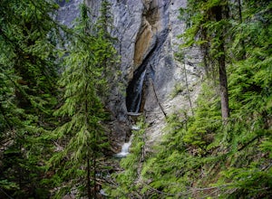
Hike to Hamilton Falls, Yoho NP
4.01.76 mi / 474 ft gainHamilton Falls trail sign is across the parking lot from Emerald Lake and points you in the direction of the trail. The trail will start with a gentle incline which immediately places you into a lush forest as the noise of tourism begins to fade. Approximately 0.4 miles up the trail, you will rea...Read more -
Saskatchewan River Crossing, Alberta
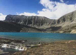
Backpack to Michelle Lakes
5.011.2 mi / 7545.9 ft gainTrailhead Owen Creek located by the East Banff National Park Boundary on the David Thompson Highway (#11). There is no sign for Owen Creek so keep you eyes open for a pullout approximately 2kms east of the Banff National Park toll gate. You will find the trail to the right of the creek when facin...Read more -
Columbia-Shuswap, British Columbia
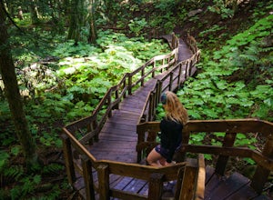
Giant Cedars Boardwalk
0.26 mi / 105 ft gainThe Giant Cedars Boardwalk is a great spot to stop along the Trans Canada Highway #1 and enjoy a short boardwalk trail through giant Cedars, some over 500 years old. The trail has some steps, but several benches along the way making it great for anyone. It's like a stroll through a forest in a...Read more -
Field, British Columbia
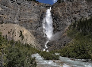
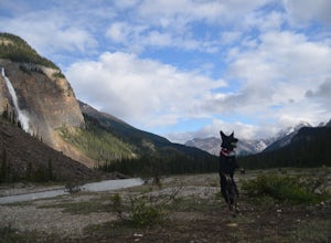
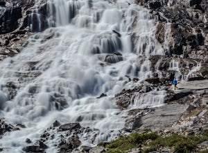
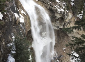
Takakkaw Falls
4.01.2 mi / 196.9 ft gainThis powerful waterfall is unquestionably, one of Canada's largest and most magnificent waterfalls. It falls at around a whopping 381 meters over the sheer cliff of the beautiful Canadian Rockies. The word 'Takakkaw' loosely translates from the language of 'Cree,' into the English phrase, "it is ...Read more -
Field, British Columbia
Camp at Takakkaw Falls
Takakkaw is the third highest waterfall in Canada. Mountain vistas, rushing glacial fed rivers, and waterfalls galore make Yoho a prime destination. This is the nicest drive-to campground around, and with little effort you have a semi-backcountry experience that is accessible to everyone.Take the...Read more -
Field, British Columbia
Hike Iceline Trail
5.012.3 mi / 2867.5 ft gainThe trailhead is accessed at the Takakkaw Falls parking lot, and then you walk to the Whiskey Jack Hostel where the trail officially begins (you can not park here unless you are a guest). The well marked trail then begins its very steep ascent through the forest where you will catch glimpses of ...Read more -
Improvement District No. 9, Alberta
Hike to Bow Glacier Falls
5.05.6 mi / 508.5 ft gainThe trailhead begins directly behind the Num-Ti-Jah Lodge on km 37 of the Icefields Highway. The trail is well marked and winds along the shore of Bow Lake for the first 1.2km of the hike. Eventually you will lead up to a narrow gorge and onto the crest of a glacial moraine. There are only a few...Read more -
Field, British Columbia
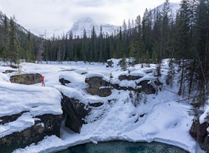
Explore the Natural Bridge in Yoho NP
4.5Whether you are traveling north or south on the Trans-Canada Highway in Yoho National Park you will see a sign that directs you west to travel on Emerald Lake Road. When you turn west you will travel about one mile, or 1.6 km, and then you will see the parking area for the Natural Bridge. After p...Read more -
Improvement District No. 9, Alberta
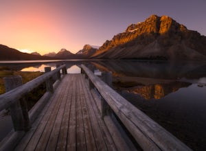
Watch the Sunrise at Bow Lake, Banff NP
5.0Make sure check the sunrise time and to try to arrive 30 minutes to an hour before. If you're driving north or south along the Icefields Parkway, you'll see a sign for Bow Lake, it's about 38km north of Lake Louise. There are two pull-offs for the lake, if you're heading north take the second roa...Read more -
Improvement District No. 9, Alberta
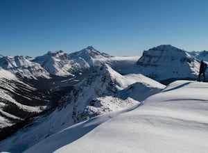
Snowshoe up Crystal Ridge
2.04.3 mi / 2099.7 ft gainFor anyone looking to leave crowds behind but still have a killer day, Crystal Ridge might be up your alley! On an unseasonably warm January Saturday, I was the only one to access the trail. My singular trail was the only blemish on the pristine field of snow.The trailhead is located in the north...Read more -
Field, British Columbia
Backpack Burgess Pass to the Iceline to Takakkaw Falls
5.042.3 miThis hike begins at a trailhead 1.5 km (0.9 mi) from Field, B.C., Canada. When heading west on the Trans Canada Highway towards Field, turn right 1.5 km before Field onto a small dirt road. Immediately turn left and continue driving straight for 500 m (0.3 mi) to a small open area for parking at ...Read more -
Improvement District No. 9, Alberta
Hike to the Summit of Parker Ridge
5.05.5 mi / 1000 ft gainWhile the drive from Banff to Jasper on the Icefields Parkway is astoundingly beautiful, it's long enough to make even the most seasoned roadwarrior crave the chance to stretch their legs. At almost the exact halfway point on the lengthy drive lies Parker Ridge, a short but fairly steep hike rig...Read more -
Improvement District No. 9, Alberta
Photograph Upper Panther Falls
0.3 mi / 0 ft gainThe extraordinary Panther Falls can be found along the Columbia Icefields Parkway in Banff National Park, Alberta. This 0.3 mile long trail requires a little scrambling and extreme caution. It leads to a breathtaking view of the falls from the top where Nigel Creek descends out from a rock canyon...Read more -
Jasper, Alberta
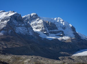
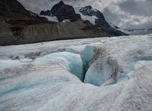
Hike along the Athabasca Glacier
4.73 mi / 700 ft gainThis is not an advertisement for the guided tour, but you will see so much more of the glacier than if you do a bus tour or just visit the roped off visitor area. Do you research and you can find a company that will take you up onto the glacier safely. It was amazing looking into the crevasses an...Read more

