Columbia-Shuswap A, British Columbia
Looking for the best backpacking in Columbia-Shuswap A? We've got you covered with the top trails, trips, hiking, backpacking, camping and more around Columbia-Shuswap A. The detailed guides, photos, and reviews are all submitted by the Outbound community.
Top Backpacking Spots in and near Columbia-Shuswap A
-
Rogers Pass, British Columbia
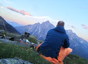
Camp at Hermit Meadows
4 mi / 2559.1 ft gainThe trail head is located between the Rogers Pass Discovery Center and the Tupper. It's a good idea to head into the Discovery Center first and book the campsites as they do require pre-booking to use, and the fines can be steep. Campfires are banned at this campsite as it is a fragile alpine eco...Read more -
Saskatchewan River Crossing, Alberta
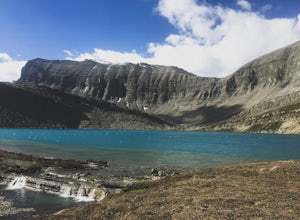
Backpack to Michelle Lakes
5.011.2 mi / 7545.9 ft gainTrailhead Owen Creek located by the East Banff National Park Boundary on the David Thompson Highway (#11). There is no sign for Owen Creek so keep you eyes open for a pullout approximately 2kms east of the Banff National Park toll gate. You will find the trail to the right of the creek when facin...Read more -
Field, British Columbia
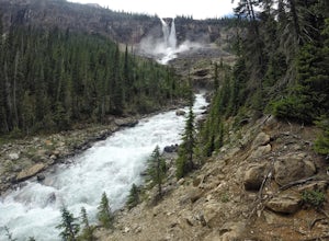
Twin Falls via Yoho Valley Trail
4.010.92 mi / 2274 ft gainAn 18 km hike with approx 300 m elevation gain, with good variety, several waterfalls, Twin Falls themselves, Twin Falls Tea House (especially if it's open), a walk through a rock field with great views, a dried up lake bed. Start at the Takakkaw Falls parking lot and follow the well marked trai...Read more -
Field, British Columbia
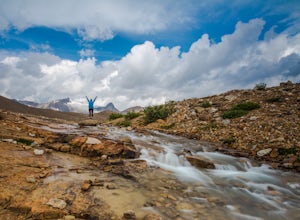
Hike Iceline Trail
5.012.3 mi / 2867.5 ft gainThe trailhead is accessed at the Takakkaw Falls parking lot, and then you walk to the Whiskey Jack Hostel where the trail officially begins (you can not park here unless you are a guest). The well marked trail then begins its very steep ascent through the forest where you will catch glimpses of ...Read more -
Field, British Columbia
Backpack Burgess Pass to the Iceline to Takakkaw Falls
5.042.3 miThis hike begins at a trailhead 1.5 km (0.9 mi) from Field, B.C., Canada. When heading west on the Trans Canada Highway towards Field, turn right 1.5 km before Field onto a small dirt road. Immediately turn left and continue driving straight for 500 m (0.3 mi) to a small open area for parking at ...Read more -
Improvement District No. 12, Alberta
Hike to Wilcox Pass
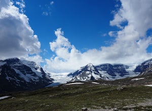
5.07.45 mi / 1100 ft gainViews of the Columbia Icefield from the Icefields Parkway pale in comparison with those achieved along this trail. Few trails anywhere are so instantly and extravagantly gratifying. That being said, be prepared to share the trail with a dozen other hikers as this premier scenery is no secret.Begi...Read more -
52.013448,-116.628897, Alberta
Mount Cline
4.014.56 mi / 6535 ft gainStarting 105 miles (169kms) from Rocky Mountain House, the trailhead for this hike begins across the highway from Thompson Creek Campground. There is a grassy area to park and the path extends obviously on the east side of the creek. The initial 2.5 miles (4.2kms) meanders along the creek with 2...Read more -
Improvement District No. 9, Alberta
Mosquito Creek Backpacking Adventure
18.7 mi / 3822.2 ft gainThe Mosquito creek trailhead is on the east side of the Icefield parkway road just across from the Mosquito Creek Hostel. You park in front of the hostel, and hop across the road to begin the trek.The trail winds up the Mosquito Valley, occasionally popping into a clearing where you get good view...Read more -
Improvement District No. 9, Alberta
Hike to Hector Lake
5.03.1 miHector Lake is one of the larger lakes in Banff National Park. It is surrounded by the Waputik Range to the west, and offers pristine views of the mountains. Hector Lake is idyllic and peaceful. Most tourists drive past the trailhead on the parkway, which means the hike is not at all busy. An...Read more -
Field, British Columbia
Backpack to Alberta's Abbot Pass Hut
3.016.2 mi / 1500 ft gainBuilt in 1922 with the stones from the pass, the Abbot Pass Hut and has served both as a base for mountaineers and as a destination for strong hikers ever since. Sitting at 2,926 meters' elevation, it is second only to the Neil Colgan Hut on the list of highest permanent structures in Canada. The...Read more

