Alberni-Clayoquot F, British Columbia
Looking for the best hiking in Alberni-Clayoquot F? We've got you covered with the top trails, trips, hiking, backpacking, camping and more around Alberni-Clayoquot F. The detailed guides, photos, and reviews are all submitted by the Outbound community.
Top Hiking Spots in and near Alberni-Clayoquot F
-
Denman Island, British Columbia
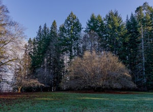
Explore Fillongley Provincial Park
4.01.6 mi / 60 ft gainFillongley Park is located on Denman Island. To get there take the Denman Island Ferry from Buckley Bay, off Hwy #19A on central Vancouver Island. Take the Buckley Bay exit #101 from Hwy #19A. Once on the island, follow Denman Road to Swan Road. Turn left on Swan Road, then right on Beadnell Road...Read more -
Nanoose Bay, British Columbia
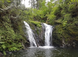
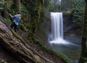
Hike to Bonnell Creek Falls
5.01.9 miThis trail isn't much to look at but it's all about the destination here as you will stumble upon scenic waterfalls nestled in the quiet Nanoose Bay area. Turn off the highway next onto Sea Blush Drive next to the Arlington Pub in Nanoose BC. Take your first right onto Sundew Place. Start your wa...Read more -
Alberni-Clayoquot D, British Columbia
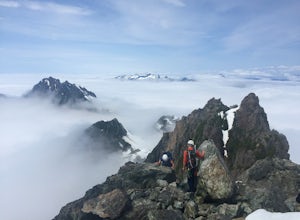
Climb Triple Peak
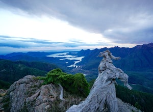
4.05.6 mi / 3149.6 ft gainAccess to Triple Peak mountain is found via the Marion Creek Main logging road approximately 48km west of Port Alberni on your left hand side along highway #4 headed towards Tofino. The road can present seasonal challenges and is rough so best to have a high clearance and 4x4 capable vehicle if p...Read more -
Alberni-Clayoquot C, British Columbia
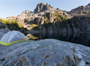
Camp at Lower Lake
4.02.5 mi / 1640.4 ft gainLower Lake is a gorgeous alpine lake located on the Triple Peak Trail. The route to the lake is very steep and scrambling is involved, but is well worth the effort. When you come to the rise above the final ridge, the stunning Triple Peak and Lower Lake come into view.The hike starts down a very ...Read more -
Nanaimo, British Columbia
Hike to Ammonite Falls
4.82.69 mi / 558 ft gainThe falls cascades off of a sheet of rock that is filled with Ammonite fossils, thus the name Ammonite Falls! The trailhead is very distinct and has a parking lot close to the start of the trail. From the Nanaimo Parkway (#19) head onto Jingle Pot Road. Follow that for a few kilometres and turn ...Read more -
Alberni-Clayoquot C, British Columbia
Climb Mackenzie Peak
6.2 mi / 4101.1 ft gainThe mountains of the South Central Range of Vancouver Island that skirt Highway 4 leading to Tofino are often overlooked as in that region surfing is the big draw, while the larger peaks of Strathcona Peak call to others. I feel this spot is a true gem of the island, with unparalleled biodiversit...Read more -
Alberni-Clayoquot A, British Columbia
Hike to Keeha Beach
5.03.7 miFar on the west coast of Vancouver Island, accessed only by a harrowing dirt road, is a wild and rugged coast begging to be explored. Bamfield is about a 3 hour drive from Nanaimo, half of which is on the gnarliest (and most active) logging road I've ever been on - and I grew up driving on loggin...Read more -
Comox, British Columbia
Run at Goose Spit Regional Park
5.0For a mid week adventure that is closer to home, nothing beats a climb up the stairs at Goose Spit Regional Park. The Goose Spit stairs are a fantastic addition to the Comox Valley's urban playgrounds, beaches, trails and green spaces. There are 165 steps to the main lookout, with an additional 2...Read more -
Comox-Strathcona C, British Columbia
Century Sam Lake
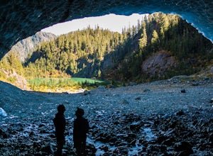
4.03.62 mi / 1342 ft gainThe next time you have the opportunity, I recommend you pay Century Sam Lake a visit. This short day hike complete with a spectacular emerald green lake, towering rock cliffs and summer snow caves make this a 'must do' for mid Island adventurers. This day hike is a well kept secret – and often...Read more -
Comox-Strathcona C, British Columbia
Hike Mount Becher
Trail access begins at the end of Forbidden Plateau Road, at the site of the old abandoned ski lodge. It is an ugly place to begin a hike to such a beautiful summit, but do not let that deter you. Past the trash of forest parties, around the remnants of the old ski lodge and over the washed out r...Read more -
Honeymoon Bay, British Columbia
Hike Castle Grove of the Upper Walbran River Valley
3.2 miThe opportunity to travel deep into a region where ancient forests still stand, telling their story of centuries past, can't be overlooked. One of the last remaining areas of such beauty and rarity still exists deep in the heart of the southern interior on Vancouver Island. This spot is known as ...Read more -
Ucluelet, British Columbia
Hike the Wild Pacific Trail
4.62.5 miDrive south west on Coast Guard drive to the parking lot for the wild coast trail to your left (where the pin is). Park in the parking lot, and head to the trailhead where the big sign board is. We completed the lower loop in approximately one hour, but you can continue up the coast all the way i...Read more -
Ucluelet, British Columbia
Hiking Willowbrae to Halfmoon Bay and Florencia Bay
The Willowbrae trailhead is not marked along the Tofino Ucluelet highway and the turnoff is easy to miss. Driving from Tofino look for Willowbrae Road on the right hand side, 2 kilometers past the Port Alberni junction. From Ucluelet this road is on the left, 5 kilometers from town. Drive up...Read more -
Port Renfrew, British Columbia
Hiking through the Avatar Grove
To get to the Avatar Grove, drive to Port Renfrew along West Coast highway 14. Turn right onto Deering Rd and cross the long bridge over the San Juan River. Stay right at the next Y intersection, and then left at the T intersection. At the next Y keep left and cross a tall bridge over the crys...Read more -
Ucluelet, British Columbia
Hike the Rainforest Trails in Clayoquot Sound
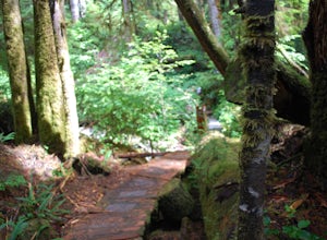
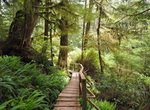
5.0For an amazing jungle experience in Clayoquot Sound, the fantastic Rainforest Trails is the place to go. Located in the Pacific Rim National Park, the forest is deep, wet and massive. The wonderful aroma of nature fills your lungs as an incredibly elaborate boardwalk leads you along massive nurs...Read more -
Ucluelet, British Columbia
Hike to Florencia Beach
The staggering coastal and rain forest beauty of the Pacific Rim National Park Reserve ensures Vancouver Island’s place as one of BC's most deeply rewarding hiking destinations. The Nuu-chah-nulth Trail is just one of many trails that will leave you with a billowing sense of wonder.Starting at th...Read more

