Alberni-Clayoquot A, British Columbia
Looking for the best camping in Alberni-Clayoquot A? We've got you covered with the top trails, trips, hiking, backpacking, camping and more around Alberni-Clayoquot A. The detailed guides, photos, and reviews are all submitted by the Outbound community.
Top Camping Spots in and near Alberni-Clayoquot A
-
Alberni-Clayoquot A, British Columbia
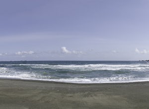
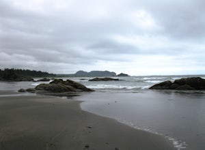
Hike to Keeha Beach
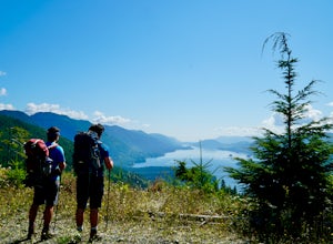
5.03.7 miFar on the west coast of Vancouver Island, accessed only by a harrowing dirt road, is a wild and rugged coast begging to be explored. Bamfield is about a 3 hour drive from Nanaimo, half of which is on the gnarliest (and most active) logging road I've ever been on - and I grew up driving on loggin...Read more -
Alberni-Clayoquot A, British Columbia
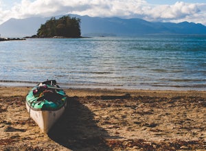
Kayaking the Broken Group Islands
The Broken Group Islands are an internationally acclaimed sea kayaking destination. They can only be done properly on a multi-day trip and it’s not recommended for novice paddlers. The stunning archipelago located on the west coast of Vancouver Island features hundreds of islands, lagoons, caves,...Read more -
Cowichan Valley F, British Columbia
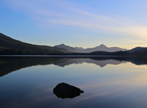
Camp at Nitinat Lake
Nitinat Lake is located about 70 km from Lake Cowichan on Vancouver Island. It's about a 2 h drive from Lake Cowichan with 1 h on logging roads. When you get close to Lake Cowichan, the highway splits into two possible routes, one on the south side of the lake, the second on the north side. Since...Read more -
Alberni-Clayoquot C, British Columbia
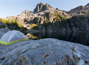
Camp at Lower Lake
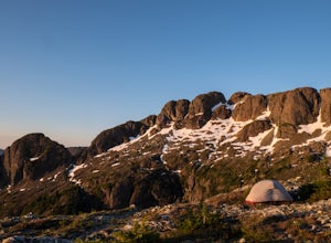
4.02.5 mi / 1640.4 ft gainLower Lake is a gorgeous alpine lake located on the Triple Peak Trail. The route to the lake is very steep and scrambling is involved, but is well worth the effort. When you come to the rise above the final ridge, the stunning Triple Peak and Lower Lake come into view.The hike starts down a very ...Read more -
Youbou, British Columbia
Hike Heather Mountain
20.5 mi / 3822.2 ft gainHeather Mountain is a moderate well marked out and back hike through managed forest land. The hike brings a wonderful feeling of solitude as there are no towns or buildings visible even with distant views in all directions. It is also quite lightly tracked: we saw no other hikers on the entire r...Read more -
Fanny Bay, British Columbia
Canoe Great Central Lake and Hike to Della Falls and Love Lake
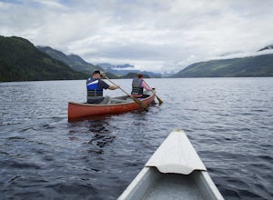
80.8 mi / 1148.3 ft gainTo get the the Della Falls trail head in Strathcona Park, you must cross Great Central Lake. This is a 45 km journey via either canoe, kayak, or speedboat. We chose to canoe, and it took approximately 9 steady hours. We parked our vehicles just on the edge of Central Lake Road across from Great C...Read more -
Port Renfrew, British Columbia
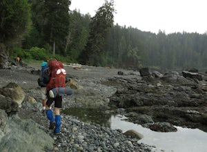
Backpack the West Coast Trail, Pacific Rim NP
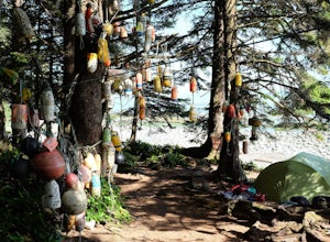
46.6 mi / 360.9 ft gainIn the summer of 2016, myself and three others decided to hike the West Coast Trail (WCT) on a bit of a whim! We naively, and courageously, choose the WCT as our first major backpacking hiking trip - we thought it would be best to throw ourselves into a hike that has earned a reputation for being...Read more -
Errington, British Columbia
Hike and Camp at Mt. Arrowsmith
5.0Mt. Arrowmsith's claim to fame is the tallest mountain on "southern" Vancouver Island. Standing at 1,819 m (6,000 ft), it barely squeezes into the top 50 of the Island, as it stands no chance against the peaks of Strathcona, which you can see gazing north from the summit!The advantage of Arrowsmi...Read more -
Tofino, British Columbia
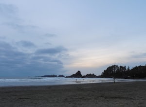
Surf Tofino's Cox Bay
5.0Tofino, British Columbia, is magical. It sits on the most western coast of Canada, on Vancouver Island. It is a small surf town, with natural Pacific Northwest beauty everywhere.....ocean, beaches, forests, islands. and the beautiful Pacific Rim National Park.I personally like surfing Cox Bay bec...Read more -
Neah Bay, Washington
Hobuck Beach
4.0Cape Flattery, the most northwesterly point of the lower contiguous 48 states is accessed via an easy trail which includes many board walks and sets of stairs. Maintained by the Makah Tribe of Indains, the trail provides spectacular views of the Pacific Ocean, Tatoosh Island, nearby rocky cliffs...Read more -
Port Renfrew, British Columbia
Hiking the Juan de Fuca Marine Trail
5.029.2 miThis is no walk on the beach. There are many ascents and descents that range from not so steep to hold on for your life as the mud cliff crumbles steep. You might think 200m of elevation gain isn't much, but it is a constant ascend and descend trail in the moderate-difficult sections.A high level...Read more -
Tofino, British Columbia
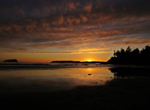
Sunset at Mackenzie Beach
4.7Grab a loved one, your family, or your closest friends and head to Tofino for the weekend.You can stay at Bella Pacifica Campground, right near the beach at the end of Mackenzie Beach Road, and enjoy the beach while camping in the west coast rainforest. Have a picnic, play some tunes, and watch a...Read more -
Neah Bay, Washington
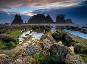
Backpack and Camp at Shi Shi Beach
5.04 mi / 200 ft gainIntroduction:My friends and I decided to head out to the Pacific Northwest (PNW) from Philadelphia to do some backpacking and beach camping. We choose Shi Shi Beach for it's terrific beach camping and extraordinary photography potential. Here is a rundown of the out and back, 2-night backpackin...Read more -
Nanaimo F, British Columbia
Hike Little Qualicum River and Falls
4.30.6 miLittle Qualicum Falls Provincial Park is just off the #4 highway on your way out to Port Alberni. Simply look for the signs indicating Little Qualicum Falls Provincial Park, and you will turn into the park before Cameron Lake.Easily accessible by everyone, this park can get busy in the summer mon...Read more -
Port Renfrew, British Columbia
Camp and Surf at Sombrio Beach
5.01 miHeading west from Victoria, take the TransCanada Highway to Hwy 14. Continue past Sooke towards Port Renfrew. Look for the sign that reads Sombrio Beach Trailhead (approximately 45 minutes past Sooke) and take the left. Note that this dirt road can be incredibly rugged (aka full of potholes) and ...Read more

