Alberta
Looking for the best chillin in Alberta? We've got you covered with the top trails, trips, hiking, backpacking, camping and more around Alberta. The detailed guides, photos, and reviews are all submitted by the Outbound community.
Top Chillin Spots in and near Alberta
-
Improvement District No. 9, Alberta
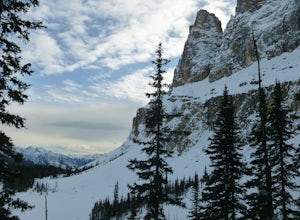
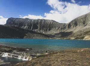
Snowshoe to Rockbound Lake
3.011 mi / 2460 ft gainThis is an amazing trail, but not for the feint of heart!The trailhead is located on the Bow Valley Parkway (Highway 1A) in Banff National Park, AB at the Castle Mountain sign. The trailhead is marked by an information sign in the north of the parking lot and the trail initially heads north - not...Read more -
Kananaskis, Alberta
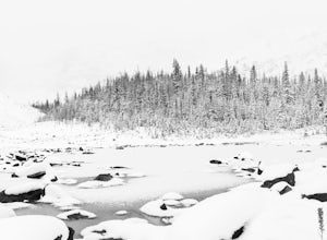
Explore the Pocaterra Cirque
Start at the Pocaterra/Highwood pass parking lot. The pond is about 1.5km directly west from the parking lot, but the trail head is not always obvious, especially if there is snow. Keep an eye out for the flagging tape that marks the trail. Consider bringing snowshoes in November.This makes for ...Read more -
Bragg Creek, Alberta
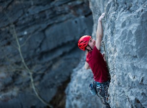
Rock Climb at White Buddha
4.01.9 mi / 492.1 ft gainTo reach White Buddha, park at the Powerface Creek parking lot. Between December and May, Route 66 is closed at Elbow Falls, so you may need to park at the gate and walk in, about 0.3 miles (500 m). The trailhead is well marked from the parking lot.The first section of the trail is mellow, though...Read more -
Sawback, Alberta
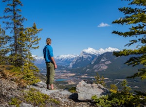
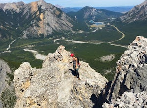
Climb Mt. Cory
3.0Park at the viewpoint parking lot on the left side of the highway, approximately 2.8 km (1.7 mi) after turning off of the Trans Canada Highway. The trailhead is easily located on the north side of the highway. The approach is short but steep and sustained. It starts as a trail and finishes as a s...Read more -
Yellowhead County, Alberta
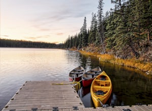
Camping at Obed Lake Provincial Park
1.0Obed Lake Provincial Park is located only 34 km north of Hinton on Highway 16. The park protects several wetlands and lakes in the lower foothills of Alberta. The largest lake, Obed Lake, provides lots of recreational opportunities including canoeing, swimming, fishing, camping, and wildlife view...Read more -
Jasper, Alberta
Camp at Wapiti Campground, Jasper NP
Wapiti is the largest campground in the park with 644 campsites. The campgrounds are equipped with running water, showers, flush toilets, a camp kitchen and fire pits at each site. Firewood is available for purchase at the campground with a fire permit. Wapiti is more forested than the other camp...Read more -
Improvement District No. 9, Alberta
Snowshoe to Johnson Lake
2 miThis is a well-traveled hike, so if you stay on the path, you'll likely need only a good pair of boots. However, in the middle of winter, the lake freezes solid, and you might enjoy exploring a little out on the frozen lake like we did. Snowshoes definitely came in handy out there.This is a very ...Read more -
Jasper, Alberta
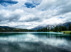
Hike the Moose Lake Loop
3.01.9 mi / 196.9 ft gainHike a beautiful, and very well used trail to the gorgeous Moose Lake, where Moose visit quite a bit, hence the name 'Moose Lake.' (Biking the Loop is not allowed.) The trail itself is about a 2.7 kilometer loop, and is accessed through driving to Maligne lake. To access the trail head, "pass by ...Read more -
Bragg Creek, Alberta
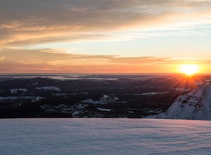
Cross-Country Ski and Scramble to Oldforgetmenot for Sunrise
9.9 mi / 2395 ft gainI think it's because I tend to watch football on Sundays that I've started doing more sunrise hikes --- can't say I regret it either! Oldforgetmenot is a perfect objective to take in a sunrise on: elevation gain isn't too intense, distance isn't too trying, and there are quite a few stretches tha...Read more -
Greenview No. 16, Alberta
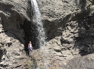
Hike to Twin Falls In Grande Cache
5.00.7 mi / 25 ft gainDirections: From Grande Cache, drive north on Highway 40 for exactly 11.5 kilometers, turn left onto the dirt road (also spotted with hundreds of protruding rocks) and continue along that road for about 0.7 kilometers, until it hits a dead end at the sheer and sudden drop off into the creek valle...Read more -
Saskatchewan River Crossing, Alberta
Backpack to Michelle Lakes
5.011.2 mi / 7545.9 ft gainTrailhead Owen Creek located by the East Banff National Park Boundary on the David Thompson Highway (#11). There is no sign for Owen Creek so keep you eyes open for a pullout approximately 2kms east of the Banff National Park toll gate. You will find the trail to the right of the creek when facin...Read more -
Improvement District No. 9, Alberta
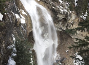
Photograph Upper Panther Falls
0.3 mi / 0 ft gainThe extraordinary Panther Falls can be found along the Columbia Icefields Parkway in Banff National Park, Alberta. This 0.3 mile long trail requires a little scrambling and extreme caution. It leads to a breathtaking view of the falls from the top where Nigel Creek descends out from a rock canyon...Read more -
Clearwater County, Alberta
Hike the Goldeye Lake Loop
5.01.6 mi / 32.8 ft gainAccess: Goldeye Road is located 100kms from Rocky Mountain House, 10kms west of Nordegg on Highway 11. Follow the road towards the lake access point on your left. Note: Please take the left turn to get to the lake and campground, if you follow the road to its end you end up at the Goldeye Centre...Read more -
Turner Valley, Alberta
Climb Wasootch Tower
Park at Wasootch Creek, Walk 2kms past the practice slabs5.7 Mixed- North RidgeFollowing the drainage on the right side that leads to the base of the esthetic tower. Then hike up the faint forested trail to the beginning of the climb.I found this to be a fun- easy scrambling route with quite a fe...Read more -
Jasper, Alberta
Mountain Bike the Overlander Trail
9.9 mi / 1312.3 ft gainGetting there: The Overlander trailhead is a little outside the town of Jasper, to the Northeast (fuel-up at the local Tim Horton's right before hand). Either bring your own Mountain Bike and park by the train station, or rent a bike in town (I'd highly recommend Vicious Cycles; they only charge ...Read more -
Bezanson, Alberta
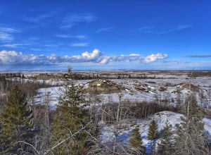
Camp in the Kleskun Hills
4.5Directions: From Grande Prairie, travel East on Highway 43 (towards Edmonton) for about 20 kilometers, then turn left on Range Road 41 and drive north for 3 kilometers. Finally take another left hand turn on Township Road 724 and continue on that road until you reach the Kleskun Hills campground....Read more

