Alberta
Looking for the best chillin in Alberta? We've got you covered with the top trails, trips, hiking, backpacking, camping and more around Alberta. The detailed guides, photos, and reviews are all submitted by the Outbound community.
Top Chillin Spots in and near Alberta
-
Jasper, Alberta
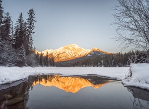
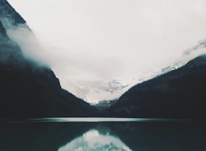
Explore Jasper Lake
This is a great photography destination because it's not unusual to have this whole place to yourself. It's less than a mile from the parking lot and there's just enough water in the winter time to catch that perfect reflection. Whether you visit during the winter or the summer, sunrise is probab...Read more -
Jasper, Alberta
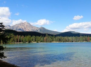
Explore Edith Lake in Jasper National Park
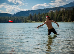
4.5One of the warmer lakes in Jasper National Park, Lake Edith is a great spot to post up and spend the day hanging in the summer sun. It comes with fewer amenities than neighboring and more popular Lake Annette, so naturally you'll see slightly fewer people. It does come with a public dock, but rem...Read more -
Kananaskis, Alberta
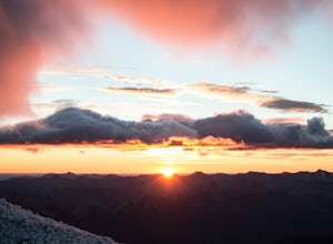
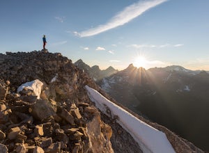
Scramble up Mount Sparrowhawk for Sunrise
7.5 mi / 4527.6 ft gainMount Sparrowhawk was the first mountain I ever fell in love with -- I knew it well, and I knew that the summit would still be accessible with a bit of snow on it in October. With waning daylight hours, it was a perfect option - albeit intense - for a sunrise hike.The trailhead is located on the ...Read more -
Improvement District No. 9, Alberta
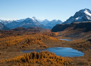
Hike to Healy Pass
7.5 mi / 2198.2 ft gainHead up to Healy Pass in late September or early October to check out the beautiful larch trees in their golden glory. Sunshine Meadows, Assiniboine, and other amazing views can be seen from the top of this easy trail. Start your adventure in the Sunshine Village ski resort parking lot. Head behi...Read more -
Improvement District No. 9, Alberta
Bike the Icefields Parkway
The Icefields Parkway is a spectacular highway to ride (you can see the short video here). The shoulders are wide and well paved. Drivers are typically courteous, slowing down and giving you space as they pass, making the ride a great deal more enjoyable. Starting in Jasper you load up your bike,...Read more -
Waterton, Alberta
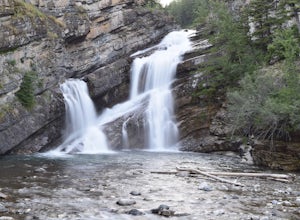
Explore Cameron Falls
Located on the west side of Waterton townsite in Waterton Lakes National Park is the iconic waterfall Cameron Falls. Probably one of the most photographed waterfalls in Waterton due to its accessibility The waterfall is practically right off of the road/bridge with easy parking right next to it. ...Read more -
Improvement District No. 9, Alberta
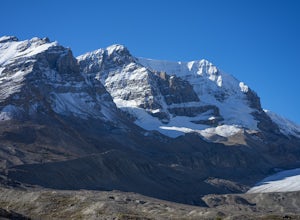
Hike to the Summit of Parker Ridge
5.05.5 mi / 1000 ft gainWhile the drive from Banff to Jasper on the Icefields Parkway is astoundingly beautiful, it's long enough to make even the most seasoned roadwarrior crave the chance to stretch their legs. At almost the exact halfway point on the lengthy drive lies Parker Ridge, a short but fairly steep hike rig...Read more -
Eldon, Alberta
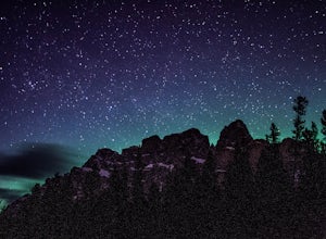
View the Castle Mountain Lookout
Castle mountain, so named for its fortress-like shape, is a quick hop away from the town of Banff. If you don't have time to hike to Rockbound Lake (at the base of Castle), head to the viewpoint just off of Highway 91 and snap some pictures of this epic mountain. Drive north for about 10 minutes...Read more -
Yellowhead County, Alberta
Cardinal Divide Ridge
4.98 mi / 607 ft gainWhitehorse is located in the northern front ranges of the Rocky Mountains. It shares a portion of its west boundary with Jasper National Park and its east boundary with a coal mine. The majority of the park is located above tree line with extensive alpine meadows and subalpine slopes. The view o...Read more -
Jasper, Alberta
Kayak Patricia Lake
Depending on the time of day, Patricia Lake has many appearances.A lake surrounded by pines and trembling aspens , the early morning magically reflects the blues of the sky and multi-toned mountains surrounding it, interrupted once in a while by morning mist.By early morning until the lake eveni...Read more -
Jasper, Alberta
Explore Lake Annette in Jasper National Park
4.0With a paved path around the lake, picnic tables, fire pits and grills, and fresh glacial fed waters, this is the ideal spot to bring your whole family or group for a summer day in Jasper National Park. There are established hiking trails around the lake where you're almost guaranteed to see some...Read more -
Greenview No. 16, Alberta
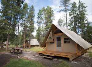
Camping at Two Lakes
Two Lakes Provincial Park, which is located 142 km south of Grande Prairie, is nestled within the foothills of northwestern Alberta. This remote scenic park includes two small lakes surrounded by forested hills. It is a great place to enjoy nature while camping, canoeing, hiking and wildlife view...Read more -
Improvement District No. 9, Alberta
Scramble the Ten Peaks via the Perren Route
A true adventure with lots of route finding, glacier travel, loose rock and high altitude views. This is not for the faint hearted or first timers.From the Moraine Lake parking lot walk down the east side of the lake along the well maintained trail. Towards the end of the lake you will cross the ...Read more -
Jasper, Alberta
Camp at Whistler's Campground, Jasper NP
Whistler's is home to 604 campsites. During the summer, the campground can get pretty crowded due to its size. The campground offers water, toilets, showers, electricity, camp kitchens and fire pits. Firewood can be purchased with a fire permit. From the campground, you can easily head into the t...Read more -
Greenview No. 16, Alberta
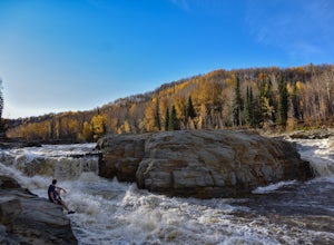
Hike to the Cutbank Twin Falls
4.33.1 mi / -40 ft gainDirections: From Grande Prairie, drive about 50 minutes south on Highway 40. There is a ditch and an industrial road just off the side of the Highway, about 2 kilometers after the bridge. The trail is right off of the Highway, accessible by the ditch. Right before the bridge, that is crossing the...Read more -
Greenview No. 16, Alberta
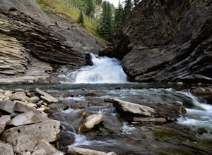
Hike to Muskeg Falls in Grande Cache
5.01.2 mi / -262.5 ft gainDirections: Drive about 17km south of Grande Cache on Highway 40 and turn at the first rest stop on the left hand side of the road. There is one sign attached to a power pole that says Muskeg Falls. The first 500 meters into the trail is an easy walk through the dense alpine forest. It soon comes...Read more

