Alberta
Looking for the best chillin in Alberta? We've got you covered with the top trails, trips, hiking, backpacking, camping and more around Alberta. The detailed guides, photos, and reviews are all submitted by the Outbound community.
Top Chillin Spots in and near Alberta
-
Greenview No. 16, Alberta
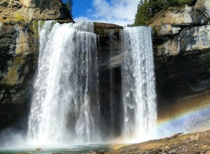
Explore Kakwa Wildland Park
Kakwa Wildland Park is 160 kilometres southwest of Grande Prairie. For travel beyond Lick Creek (roughly 10 kilometres from the park’s northern boundary) a four-wheel drive vehicle is essential. The trail to Kakwa Falls is 20km in length, and takes approximately 1.5 hours one-way if driving a 4x4...Read more -
Improvement District No. 9, Alberta
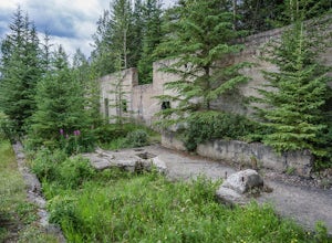
Explore Bankhead Ghost Town
5.00.81 mi / 37 ft gainBankhead is a ghost town which flanks Cascade Mountain and lies just south of Lake Minnewanka in Banff National Park. The main portion of the ghost town is located in Lower Bankhead, which can be reach by traveling North on Range Rd 1158 (closed Nov - Apr), following the signs to Lake Minnewanka....Read more -
Bragg Creek, Alberta
Hike to Bragg Creek Ice Cave
4.04.3 mi / 5879.3 ft gainAlso known as Moose Mountain Ice Cave, Canyon Creek Ice Cave and Ing Mine.The cave is located on the west side of Moose Ridge andhas a huge entrance, it is approximately1,600 ft. in depth. Take Highway 22 past Bragg Creek, continue on the 66 towards Moose Mountain. Turn off at Canyon Creek Road...Read more -
Waterton, Alberta
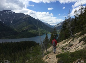
Hike to Crypt Lake
4.310.8 mi / 2296.6 ft gainThe hike begins with a gradual climb through shaded forest, which thins as you progress into the hanging valley. Along the way, you will pass by three amazing waterfalls: Twin Falls at 3.5km (2 mi), Burnt Rock Falls at 5.6km (3.5 mi) and the 600ft Crypt Falls at 8km (5 mi). There is also a 1km (0...Read more -
Bighorn No. 8, Alberta
Scramble Up Black Rock Mountain
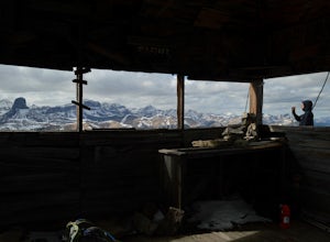
4.0Fortunately, or unfortunately depending on your point of view, getting to/finding the trailhead is the most difficult part of this hike! On top of Black Rock Mountain is an abandoned fire lookout that was utilized from 1928 to 1950. Through all those years, the lookout was supplied by pack horses...Read more -
Jasper, Alberta
Catch the Best Views of Jasper on the SkyTram
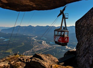
4.4Take a ride up Whistler’s Mountain to an elevation of 2,277 metres (7,472 feet) for stunning vistas of the surrounding mountains stretching up to 80 kilometres away. On a clear day, you might even see the white pyramid of Mount Robson in nearby British Columbia. At the top, you can hike the trail...Read more -
Jasper, Alberta
Hike the Valley of the Five Lakes
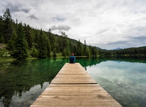
5.02.8 mi / 216.5 ft gainGetting There: The beginning of the trailhead is super easy to find, with the parking lot for the hike located directly on the Icefields Parkway. The Hike: The hike itself is super easy, but extremely scenic and beautiful. There's no real elevation climbs or technical sections, and a lot of peopl...Read more -
Improvement District No. 9, Alberta
Hike to the Hermit of Inglismaldie
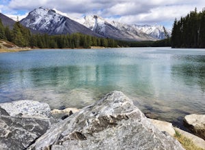
4.02 mi / 34 ft gainAs you drive towards Johnson Lake, the road will end at a parking lot where you should park. There are restrooms and picnic tables located in this same area. Due to the low elevation, the trail around Johnson Lake is a gentle walk, but trail conditions should always be checked especially during ...Read more -
Banff, Alberta
Take in the View at the Mount Norquay Green Spot
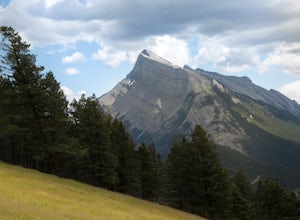
3.5The "Green Spot" is a beautiful grassy slope that opens up to sweeping views of downtown Banff and the surrounding area. It's a great spot for photography, especially capturing the peak of Mt. Rundle. There's also a set of chairs conveniently placed on the slope so you can kick back and enjoy t...Read more -
Grande Prairie County No. 1, Alberta
Exploring Red Willow Falls
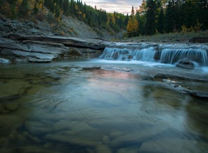
4.5Red Willow Falls is a waterfall on the Red Willow River near the Alberta/British Columbia border. There are no signs for directions and it’s located down several oil & gas dirt roads.To get to the falls, from Elmworth drive west on secondary Hwy 722, then turn left on Range Road 121, then rig...Read more -
Bighorn No. 8, Alberta
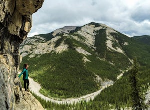
Hike through McGillivray Canyon
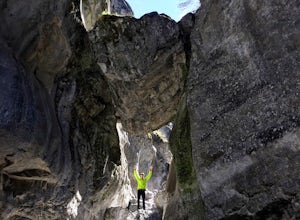
1.0Between Pigeon Mountain and Mount McGilliveray, pull off the road and slow down until you see a little dirt road turn off to the large parking area.Follow the trail heading south- don't take the transcanada trail- further up you will find another small trail that takes you to the creek bed. Follo...Read more -
Jasper, Alberta
Hike the Cavell Meadows Trail
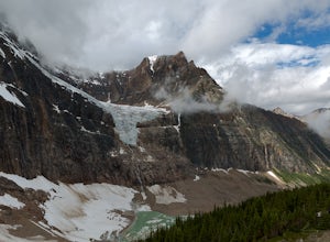
5.05.3 mi / 1500 ft gainJasper National Park is an outdoor wonderland filled with vibrant glacial waters and an abundance of wildlife. My favorite hike to experience the beauty of this park is the Cavell Meadows trail. At approximately 5.3 miles, the hike takes between 3-4 hours round trip so it's the perfect way to st...Read more -
Wembley, Alberta
Watch the Northern Lights at Saskatoon Island
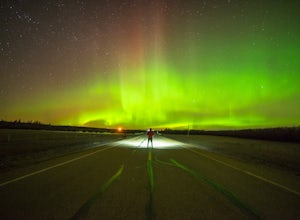
Interested in watching the northern lights (aurora borealis) dance across the sky only minutes from Grande Prairie? Optimal viewing is from September through April, when solar activity is at its highest.Saskatoon Island Provincial Park, located 25 km west of Grande Prairie on Hwy 43, is the idea...Read more -
Kananaskis, Alberta
Hike up Galatea Creek to Lillian Lake
Located on Highway 40 (Kananaskis Trail) and marked by the "Galatea" sign, there's not much more to this hike other than putting one foot in front of the other, but the amount of traffic it sees is a testament to the quality of this hike.Even on the backend of winter the numerous shades of green ...Read more -
Canmore, Alberta
Hike Grotto Mountain
7.5 mi / 4429.1 ft gainFrom Highway 1A take the exit to the Alpine Club of Canada. Park near the woodpile as the actual parking lot is for Alpine Club customers. The trailhead about 30 metres up the road from the woodpile.The start of the trail is fairly relaxed but it quickly becomes a steep uphill battle. There are t...Read more -
Jasper, Alberta
Hike the Saturday Night Loop
4.016.54 mi / 2326 ft gainThe trail is split up into three types of terrain: one-third uphill, one-third rugged, and one-third downhill. Begin at Cabin Creek Rd parking lot and follow Trailhead #3. If you plan on mountain biking the trail, most people do it in a day. If you happen to want to take longer or are hiking it,...Read more

